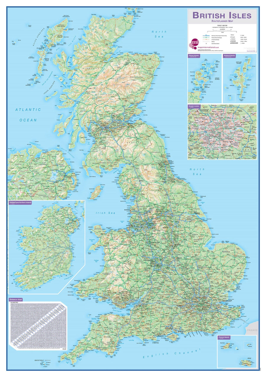
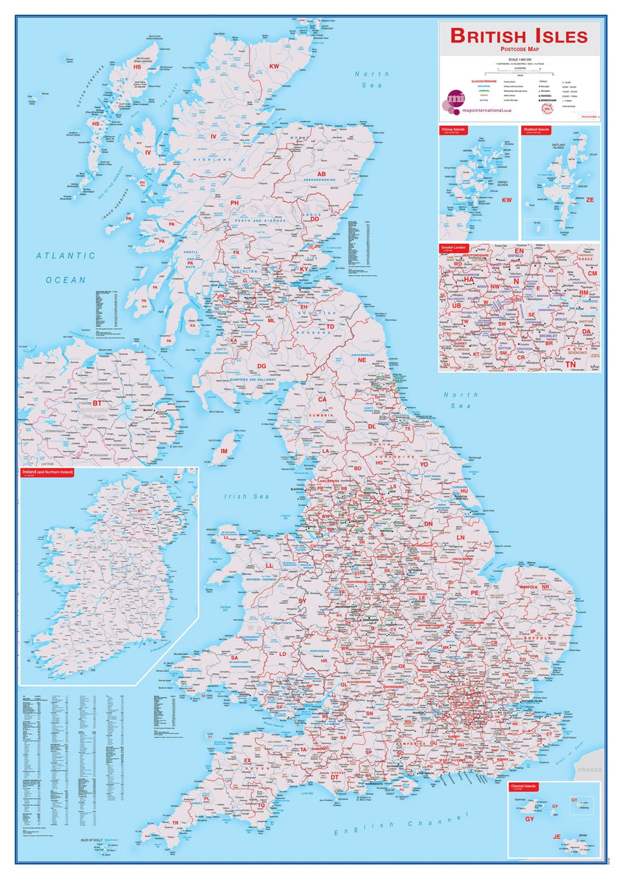
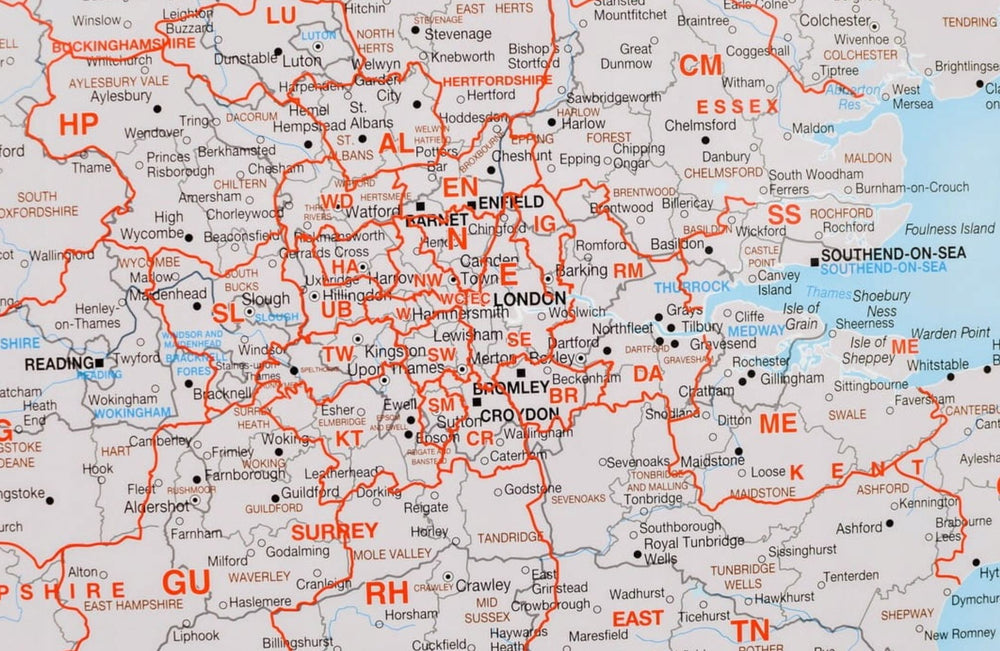
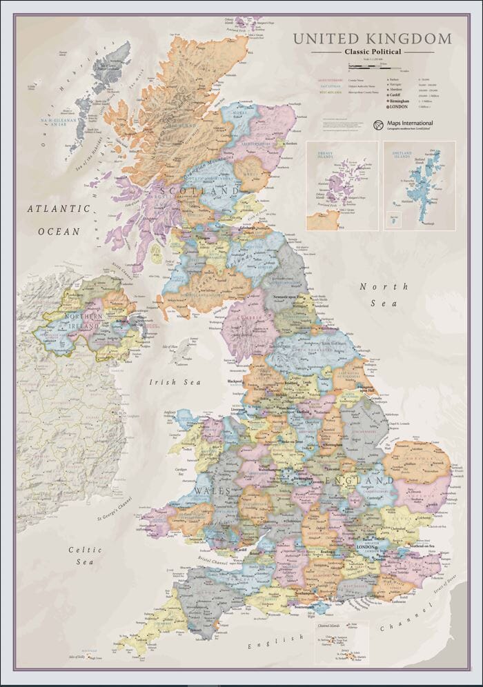
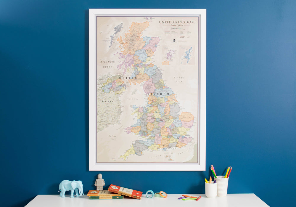
Political and physical wall map of Great Britain (in English).
This card is writable and tear resistant.
Map information:
- highways
- includes Scotland, Wales, England and Northern Ireland
- also includes Ireland
- approximately 2,800 cities listed
- cities classified according to their population
- laminated on both sides
- erasable, writable, tear-resistant
- mountains with peaks
- main rivers
- High quality offset printing guaranteeing brilliant colors and sharp images
The card is sent rolled in a sturdy cardboard tube.
ISBN / EAN : 0640813803759
Date de publication : 2025
Echelle : 1/1,000,000 (1cm=10km)
Impression: front
Dimensions déplié(e) : 100 x 140cm
Langue : English
Poids :
300 g


