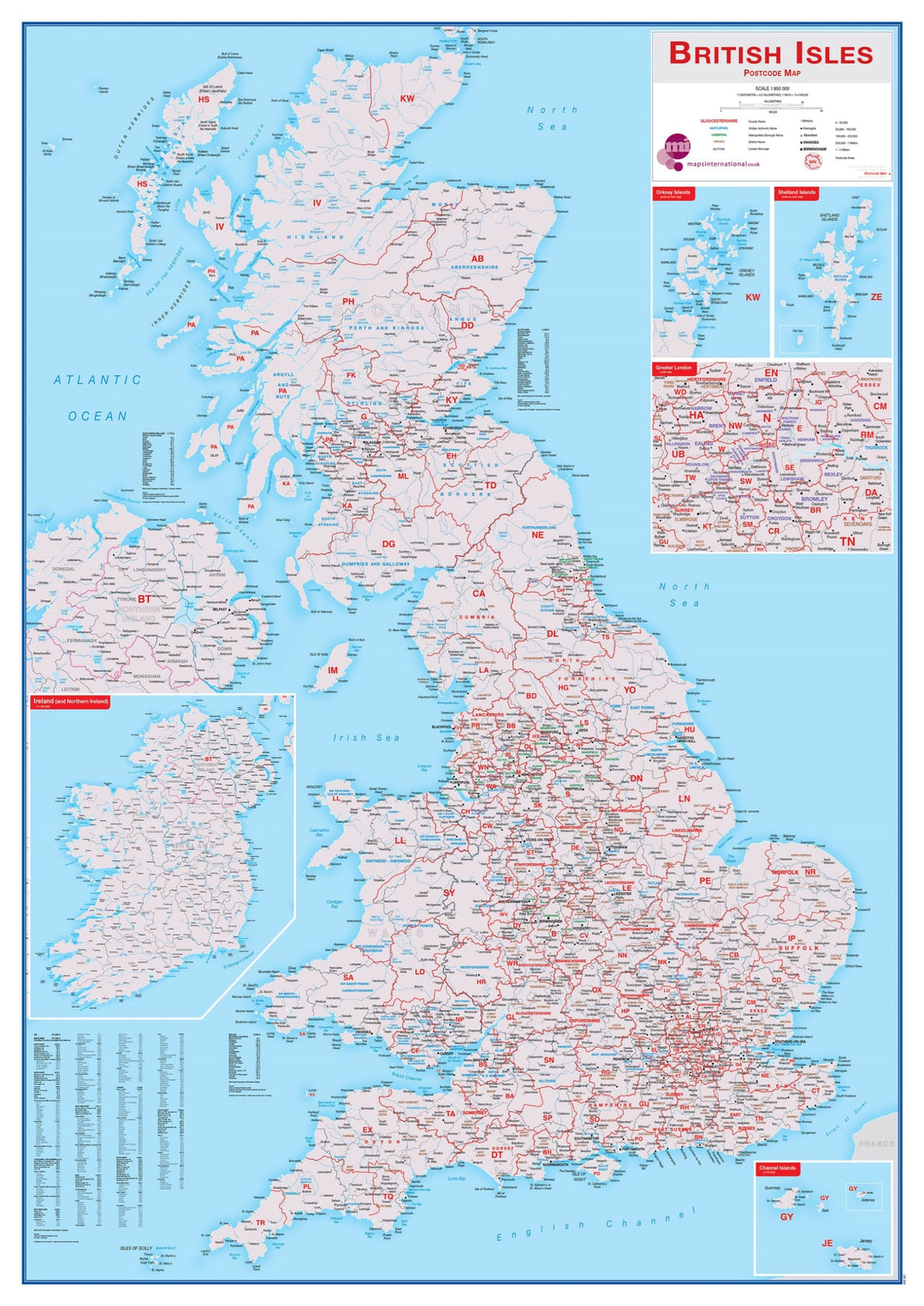
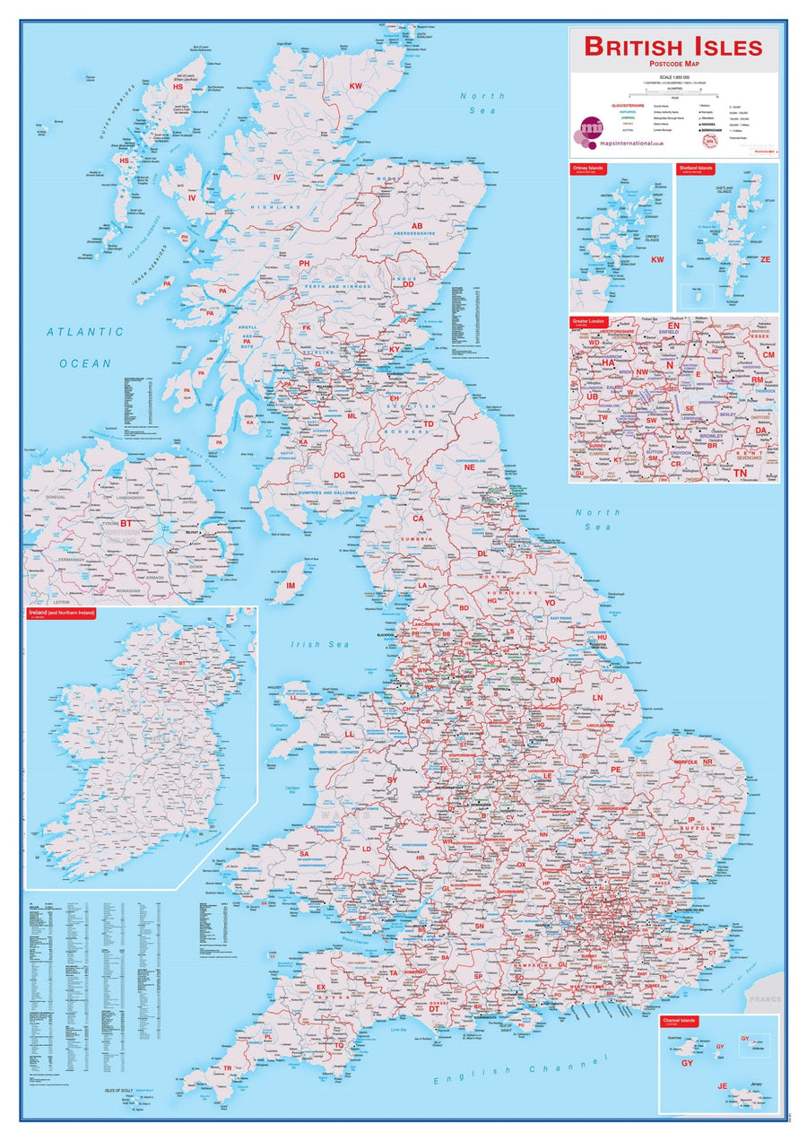
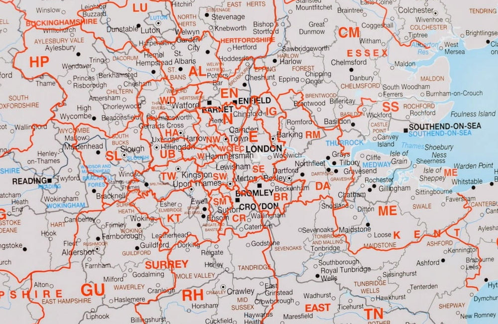
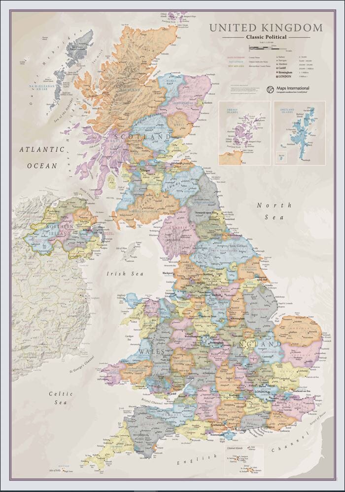
Wall map of the postal zones of Great Britain and Ireland (in English).
Dimensions 84 x 119 cm.
ISBN / EAN : 9781904892717
Date de publication : 2015
Echelle : 1/850,000 (1cm=8.5km)
Impression: front
Dimensions déplié(e) : 84 x 119cm
Langue : English
Poids :
300 g


