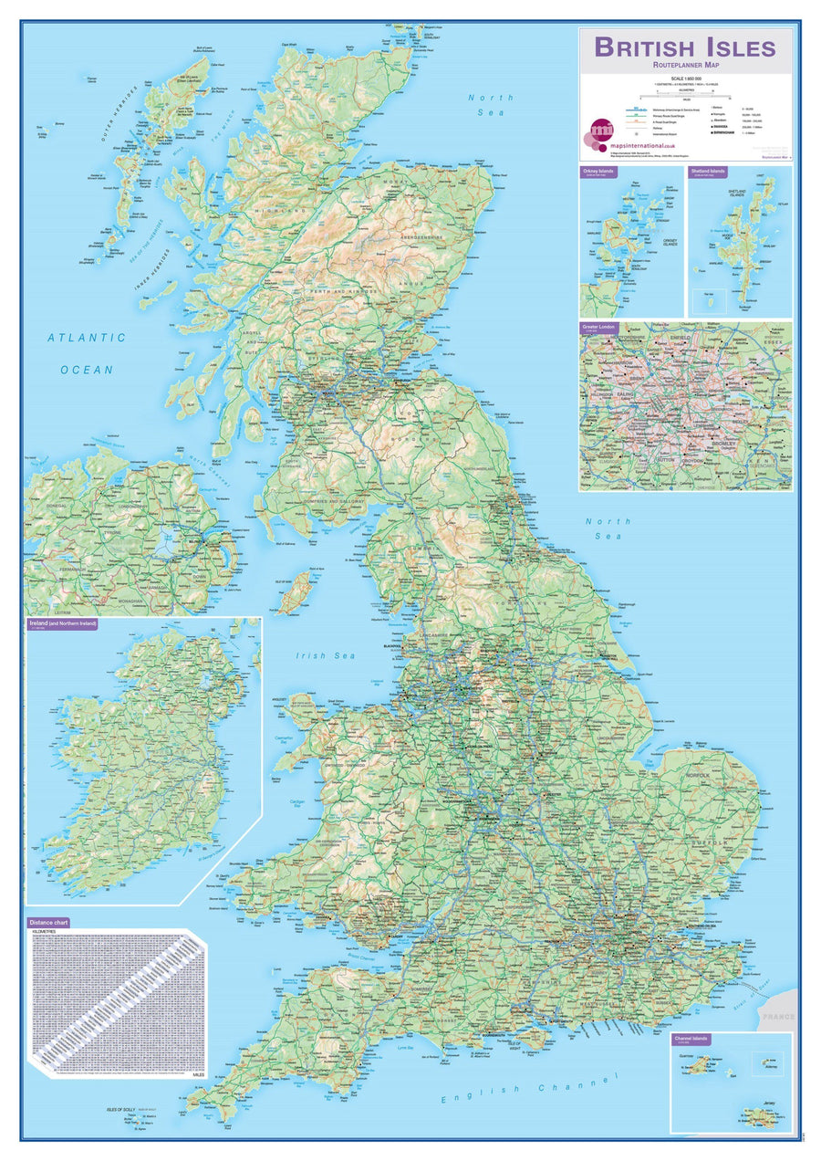
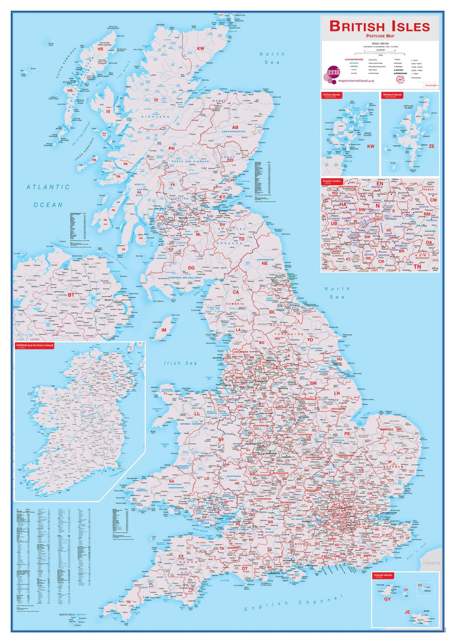
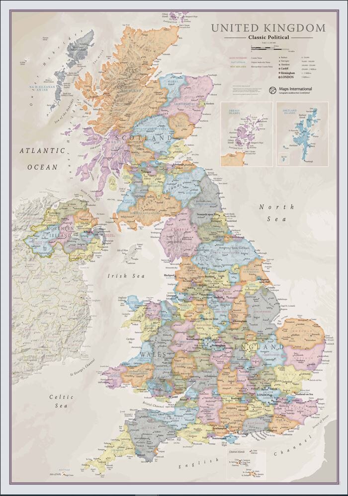
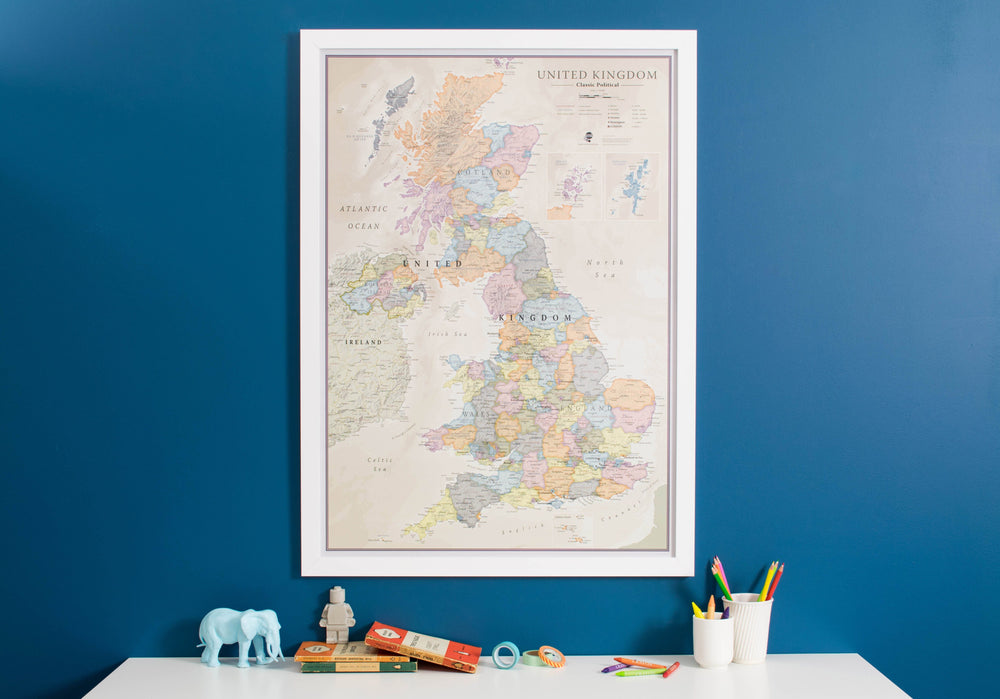
Wall - mounted map (in English) of Britain and Ireland, published by National Geographic with physical information (major roads, rivers, national parks ...).
for display. Delivered in a laminated protection tube.
Dimensions: 60 cm x 77 cm.
Scale 1/1 687 000 (1 cm = 17 km).
exists in paper or laminated version.
to note : for laminated maps, an additional period of several days (5 to 8 working days) may be necessary for the manufacture.
Customer Reviews


