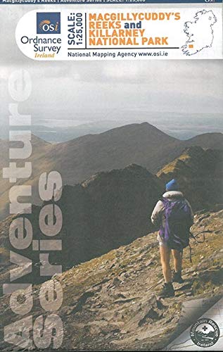
Hiking map - Macgillycuddy's Reeks & Killarney National Park (Ireland) | Ordnance Survey - Adventure Series
Regular price
$34.00
Regular price
Sale price
$34.00
Save $-34
/
- Shipping within 24 working hours from our warehouse in France
- Delivery costs calculated instantly in the basket
- Free returns (*)
- Real-time inventory
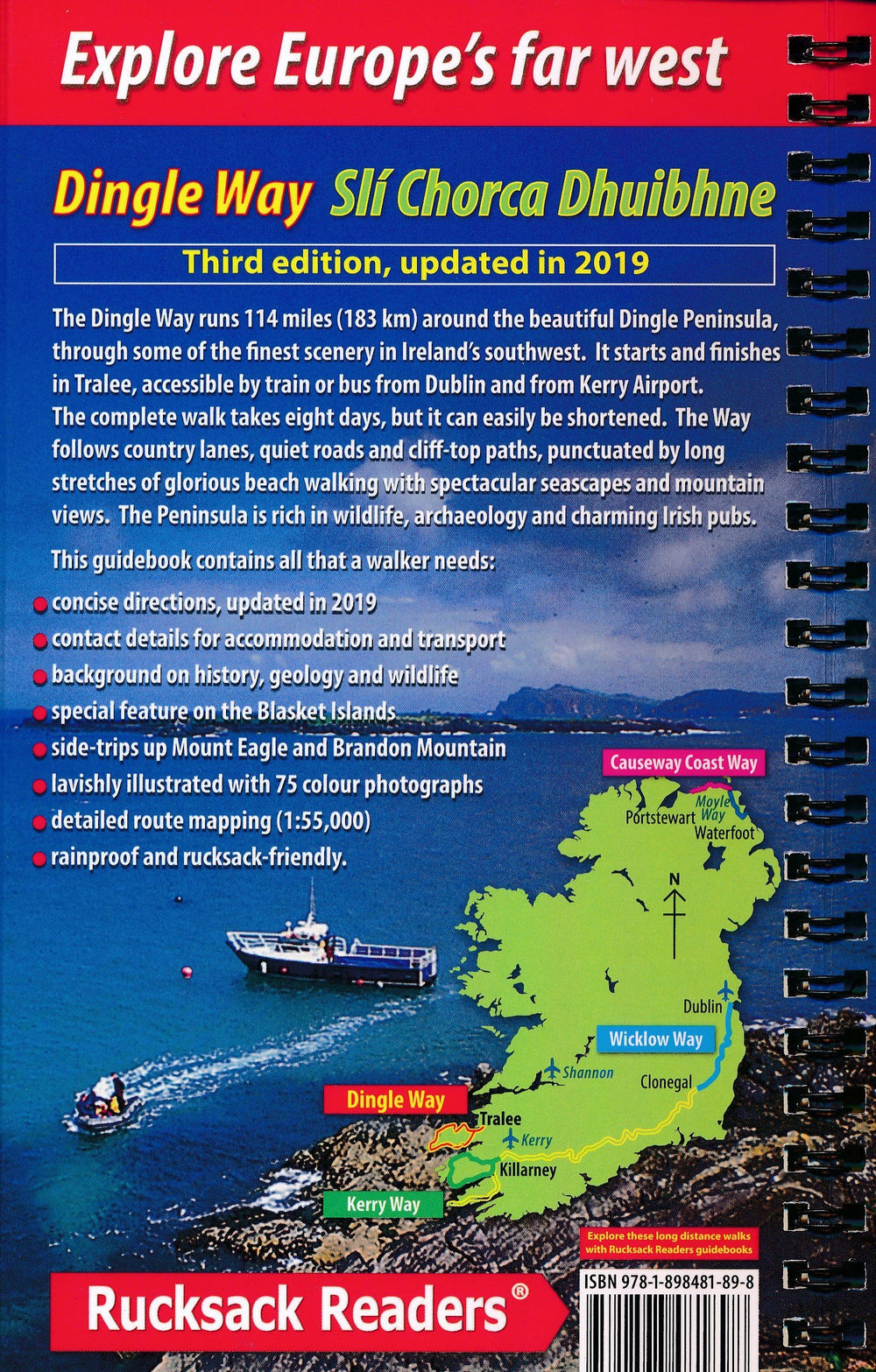
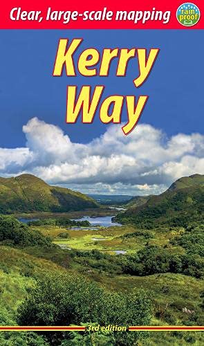
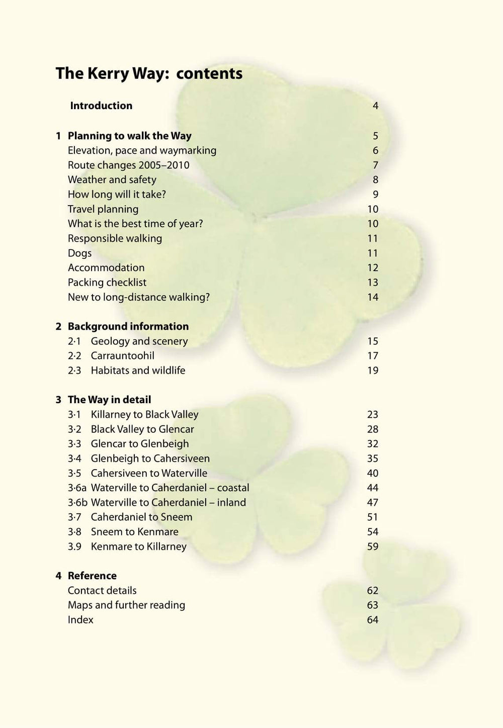
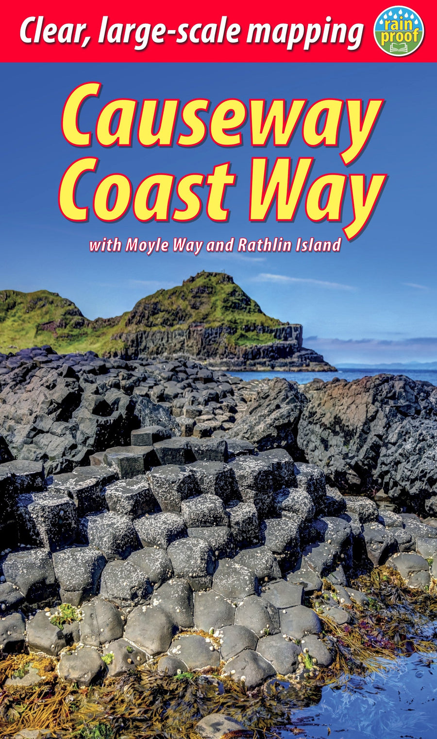
Related geographic locations and collections: Hiking in Ireland, Ireland, Killarney