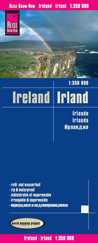
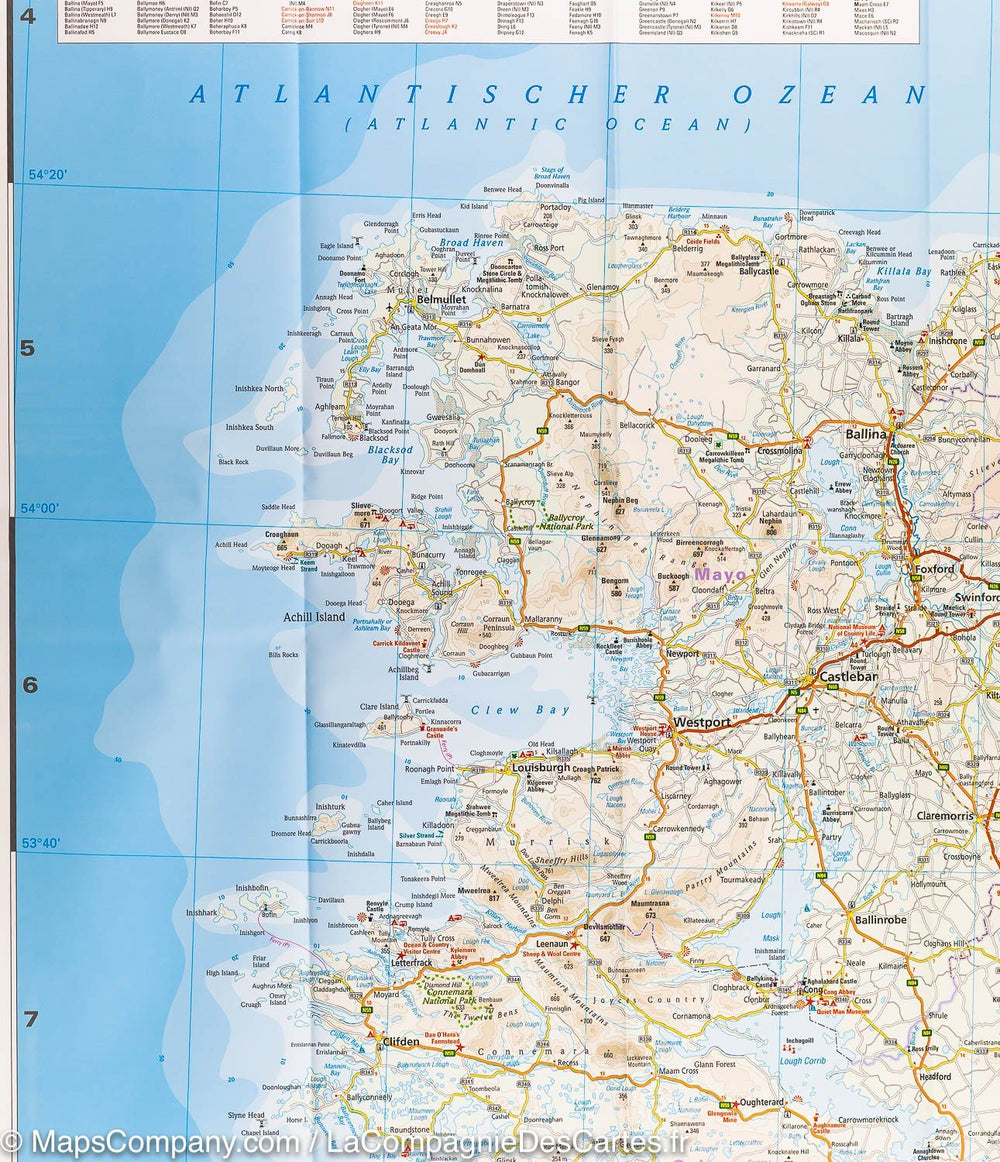
Whether you need to plan your daily activities or simply a quick overview of your current location, this map is an excellent companion for your adventures in County Kerry. For many years, this handy and informative tourist map has guided thousands of visitors and locals to the best roads, cycle paths, walks, and points of interest in Kerry, "the Kingdom." This new edition is fully revised and updated. The Kerry section of the new Euro Velo Atlantic long-distance cycle route is included, as well as the new greenways from Listowel to Abbeyfeale and Tralee to Fenit. The topography is represented by elevation colors with 30m contour lines, and many geographical features are identified. The road network includes local roads and tracks, with scenic routes highlighted, including the Kerry section of the Wild Atlantic Way and the corresponding Discovery Points. Each centimeter of the map equals one kilometer. The map therefore offers a good level of detail, while being clear and easy to follow.
- All of County Kerry on a single tourist map
- Clear and easy-to-read mapping
- Local driving, cycling, and walking routes
- Wide range of tourist attractions highlighted
- Index of place names
- Lightweight, easy to fold and carry
ISBN/EAN : 9781738413638
Publication date: 2024
Scale: 1/100,000 (1cm=1km)
Printed sides: both sides
Folded dimensions: 12.2 x 25cm
Language(s): French, English, German
Weight:
90 g


