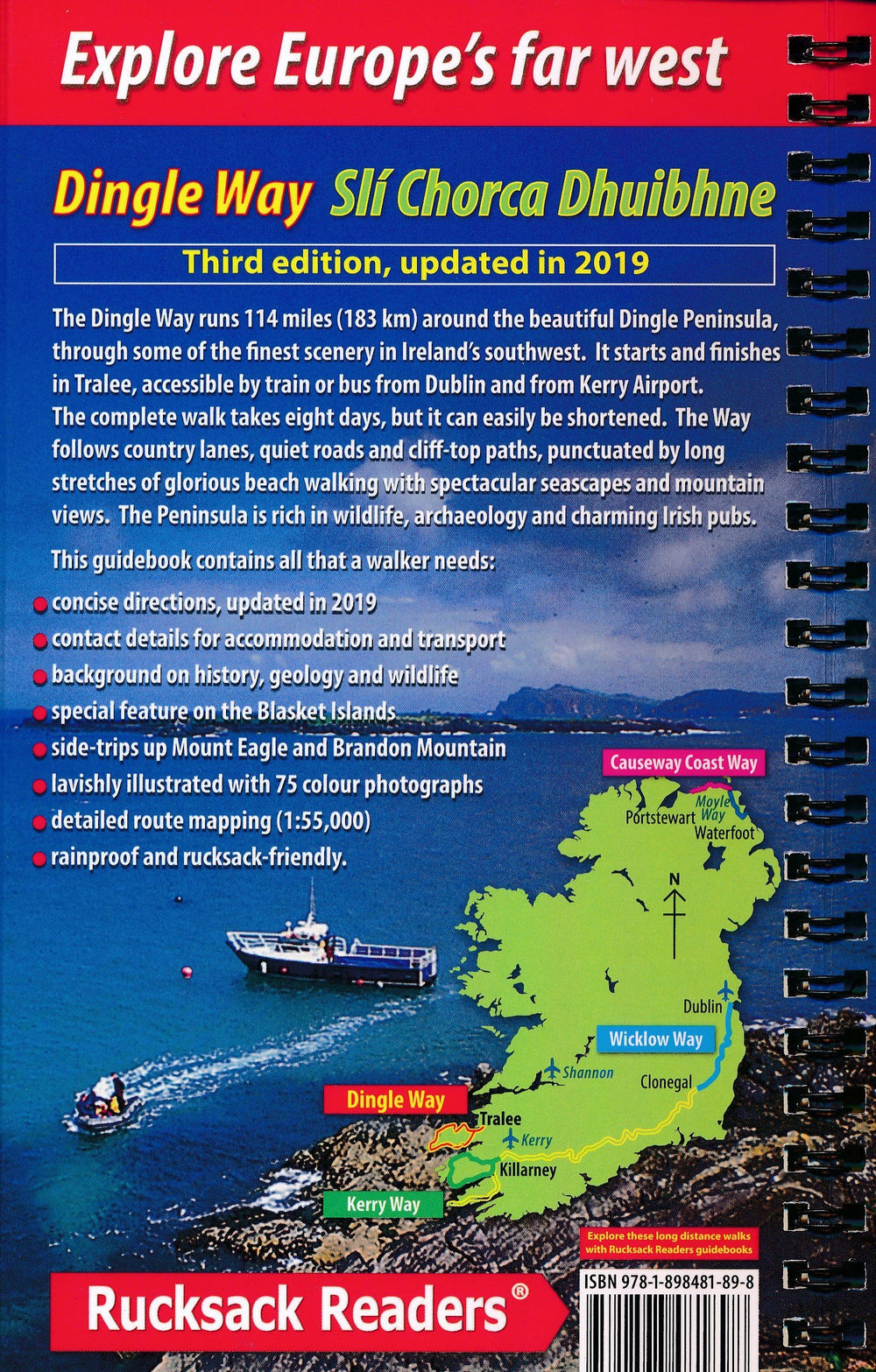
Topoguide (en anglais) de la Wicklow Way (Irlande) édité par Rucksack Readers.
Le guide est à spirales, léger, imperméable, et inclut une carte générale du trek.
Description fournie par l'éditeur :
The Wicklow Way is Ireland’s first and most popular Waymarked Way, running between Marlay Park (Dublin) and Clonegal, 81 miles (130 km) to the south-west. It offers varied and scenic walking on the flanks of the rugged Wicklow mountains with loughs and waterfalls, passing historic buildings and hospitable villages. Much of the route lies over 1600 feet (500 metres) giving glorious views. Lower sections run through forests and farmland, over a mixture of tracks, roads and pathways rich in wildlife.
This guidebook was updated in 2025 and contains all you need to plan and enjoy your holiday: detailed mapping showing the route and options (1:35,000); rainproof paper throughout; the Way in sections, with summaries of distance, terrain and where to find food and drink; concise background on history, geology and wildlife; an expanded 6-page feature on the monastic city of Glendalough; planning information for travel by car, train, bus or plane; in full colour, with 95 colour photos and 13 pages of detailed mapping at 1:35,000.
ISBN/EAN : 9781913817282
Publication date: 2025
Pagination: 72 pages
Folded dimensions: 13 x 22 x 1cm
Language(s): English
Weight:
179 g


