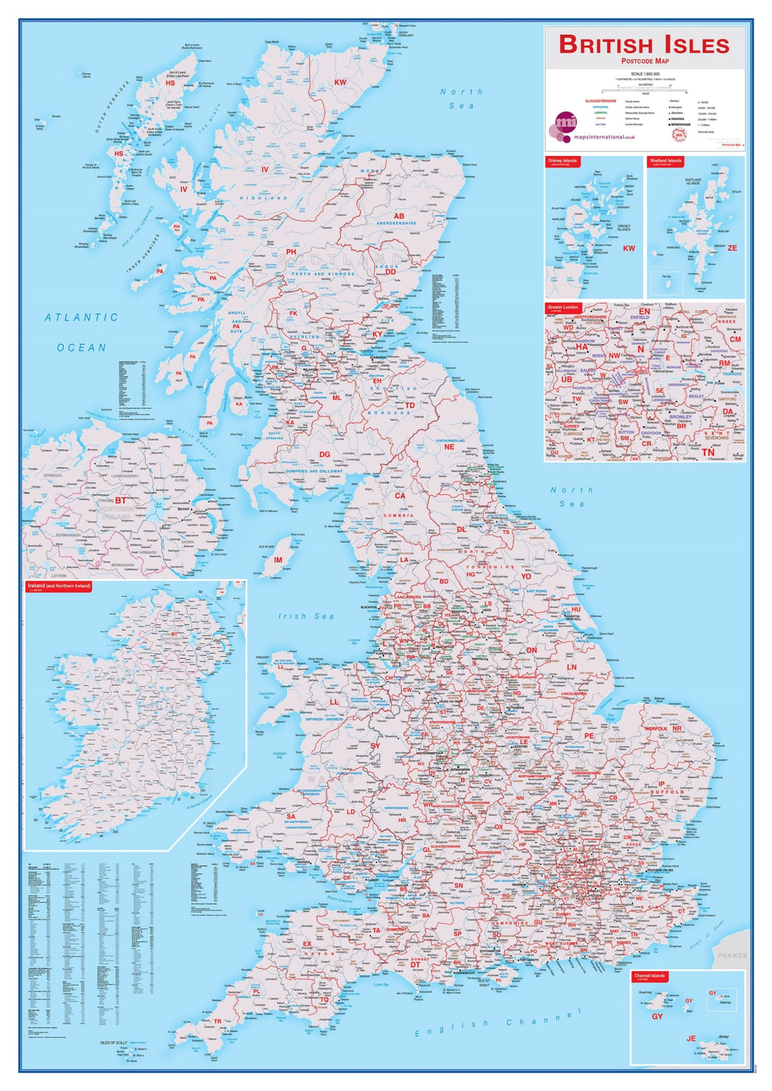
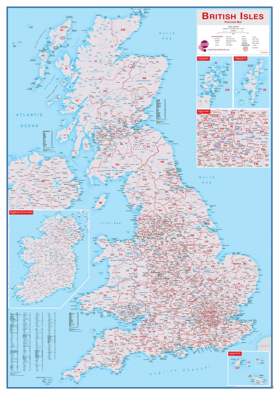
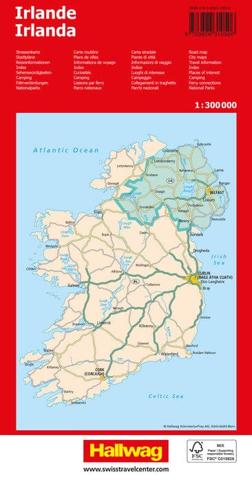
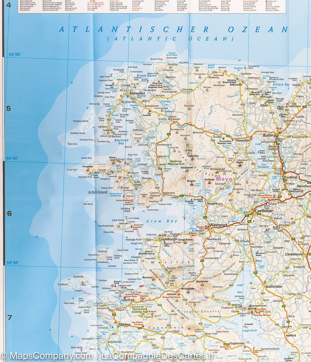
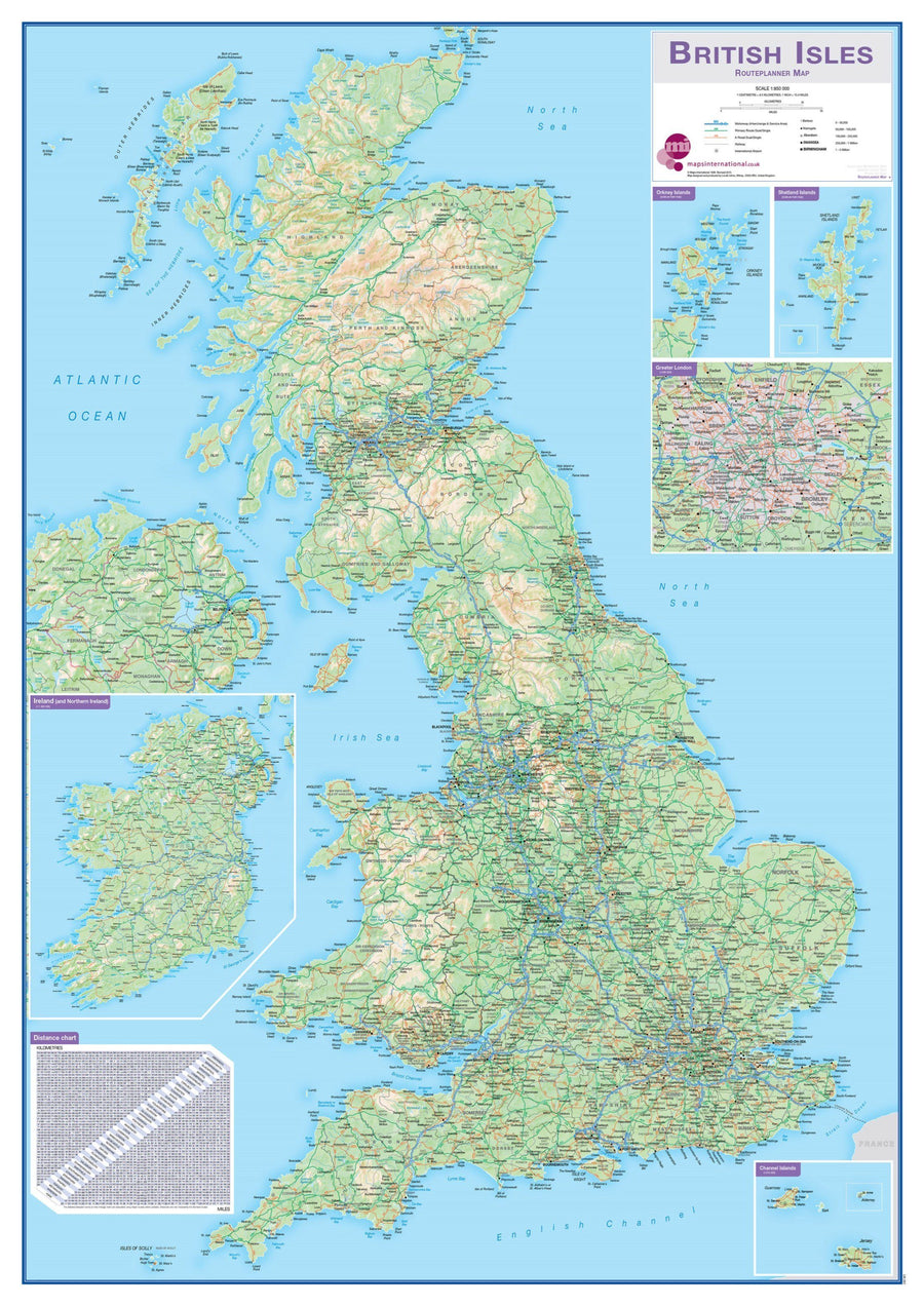
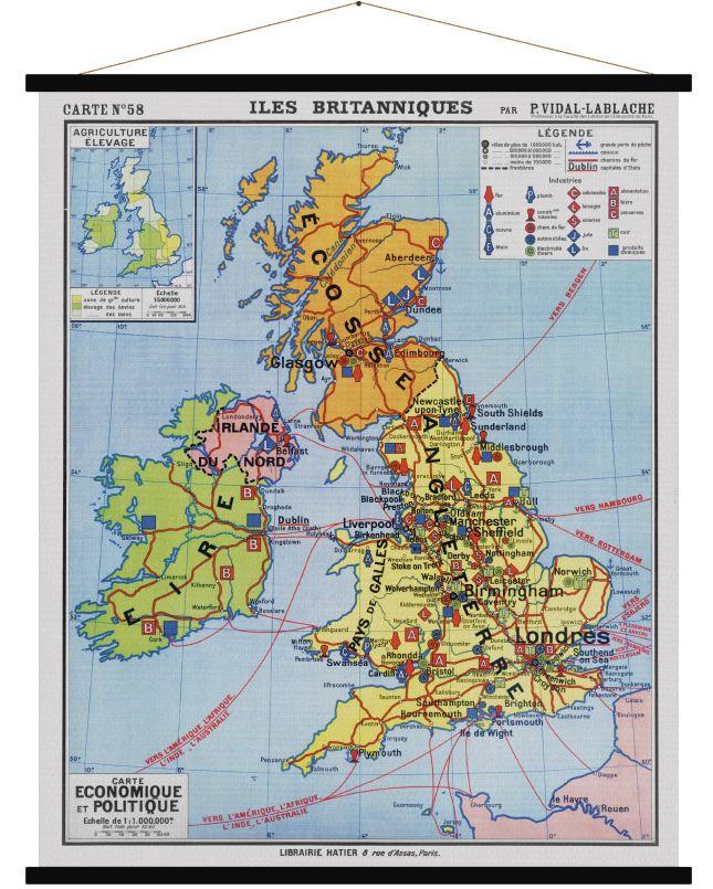
Administrative Wall map of Great Britain and Ireland (in English).
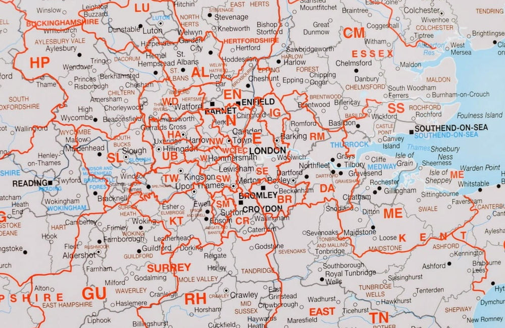
Displays counties of different colors. The boroughs and districts are also indicated on this map as well as towns and villages. Contains a small map of the British Islands Postal Code zones as well as details about the population.
84 x 119 cm .
Customer Reviews
Be the first to write a review
0%
(0)
0%
(0)
0%
(0)
0%
(0)
0%
(0)


