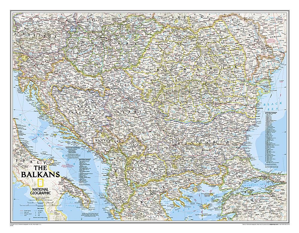
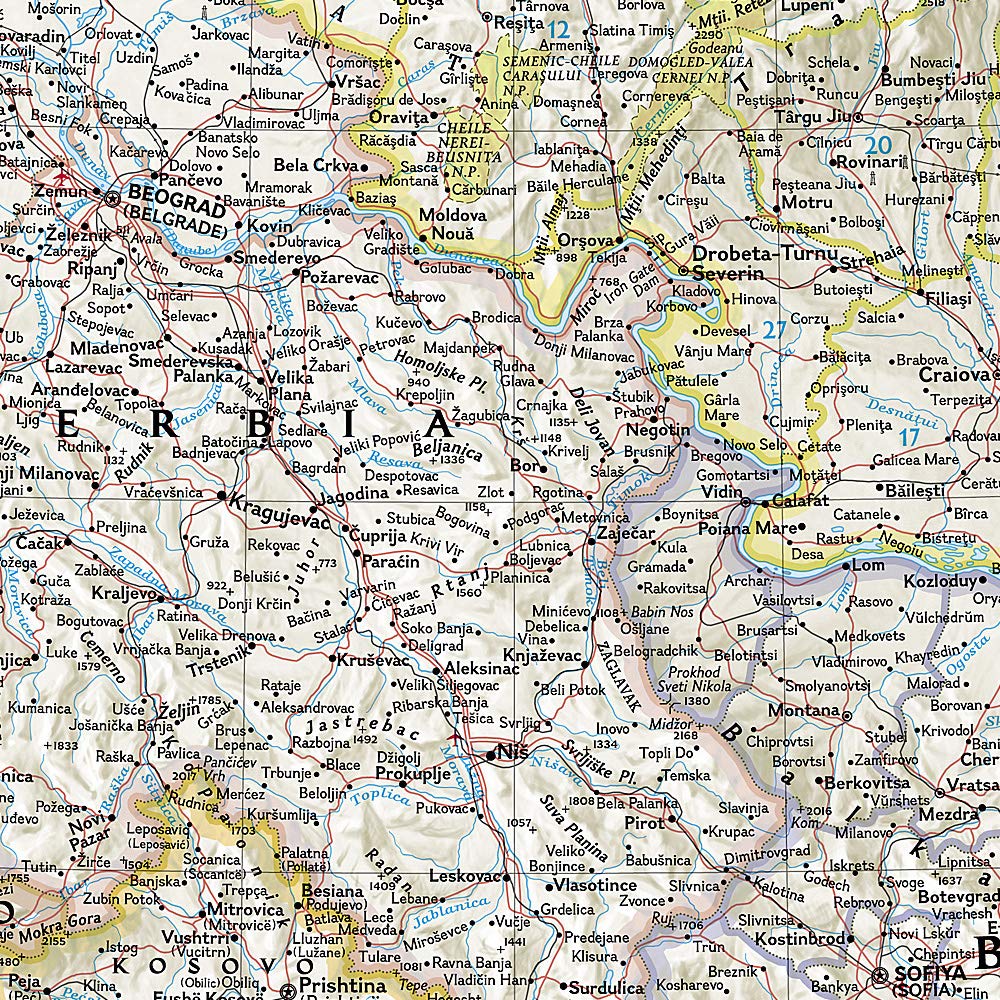
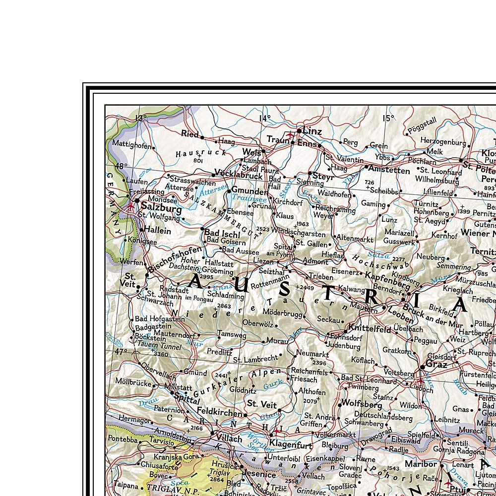
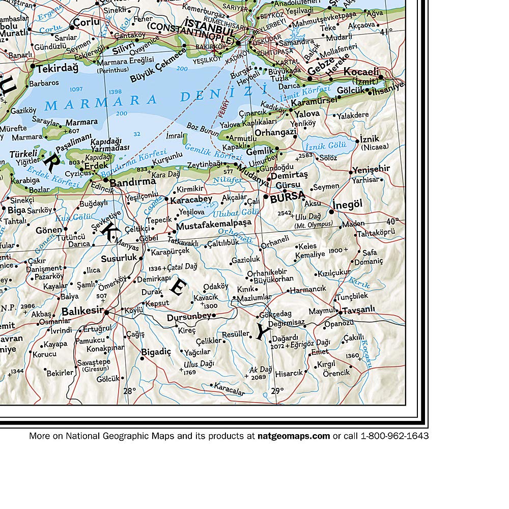
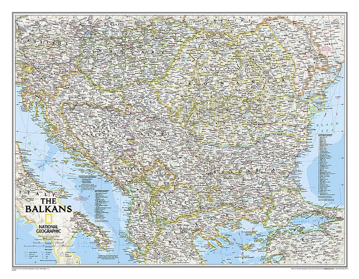
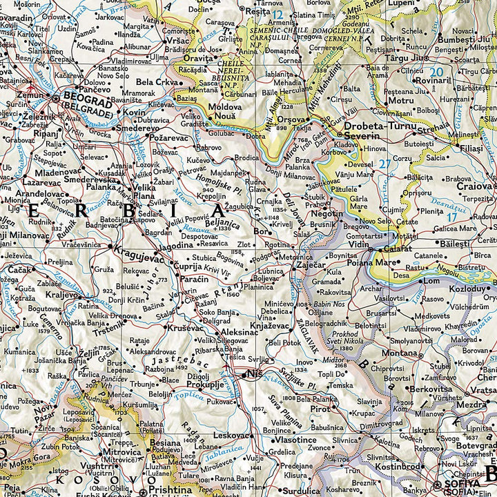
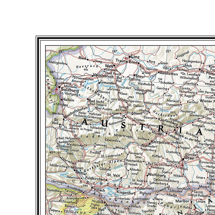
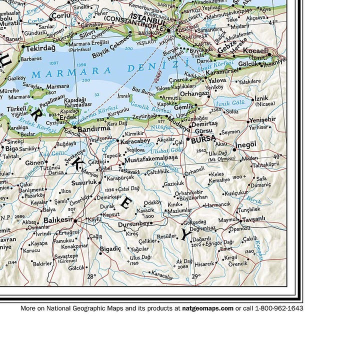
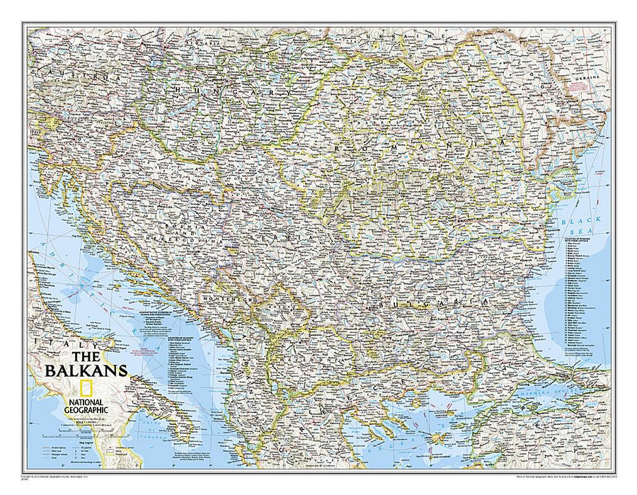
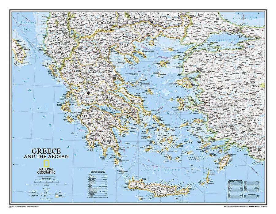
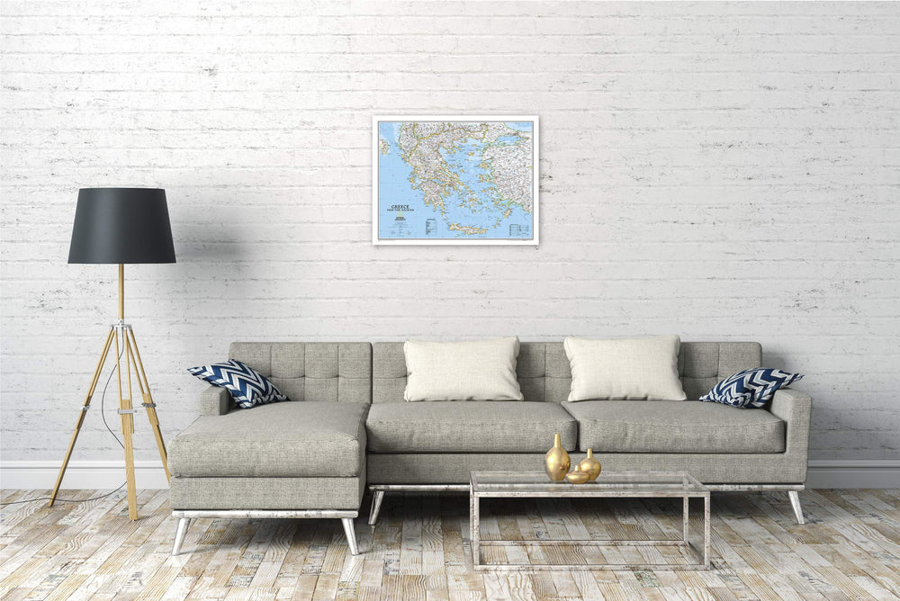
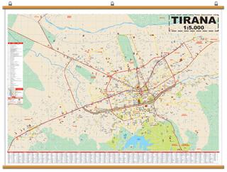
Wall map in English and color of the Balkans published by National Geographic with physical information (major roads, rivers, national parks ...). Dimensions: 77 cm x 60 cm. exists in paper or laminated version.
Note: For the laminated board, an additional a few days may be required for laminating.
The map covers Albania, Austria, the Bosnia and Herzegovina, Bulgaria, Croatia, Hungary, Kosovo, Macedonia, Moldova, Montenegro, Romania and Slovenia. It also includes lists of Hungary counties and Romania as well as their respective capitals and the administrative divisions of Bosnia and Herzegovina.
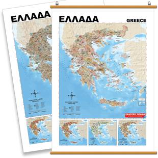
for display. Delivered in a laminated protection tube.
Scale 1/1 948 000 (1 cm = 19 km).
Customer Reviews
No reviews yet
0%
(0)
0%
(0)
0%
(0)
0%
(0)
0%
(0)


