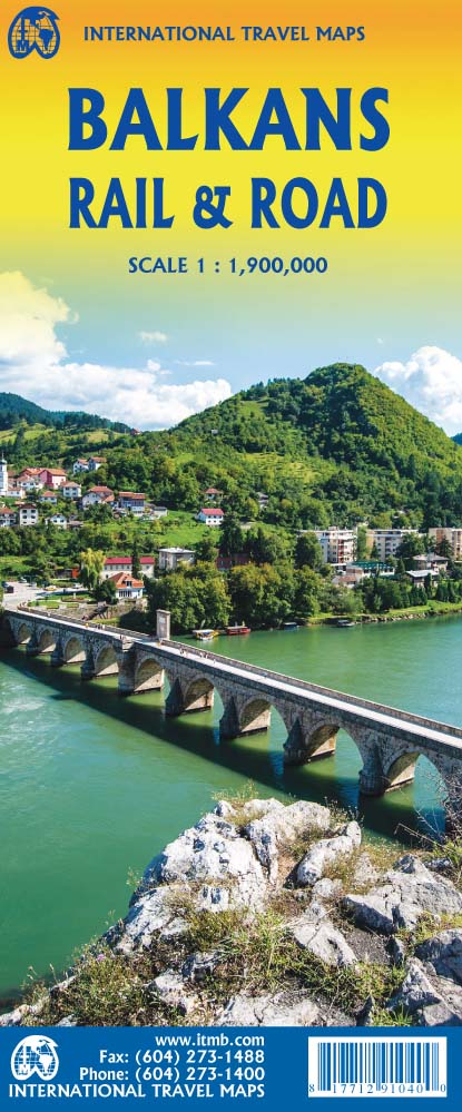
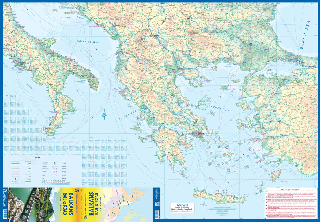
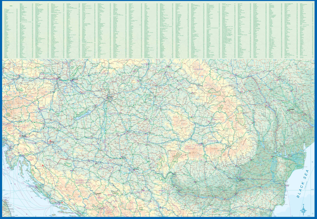
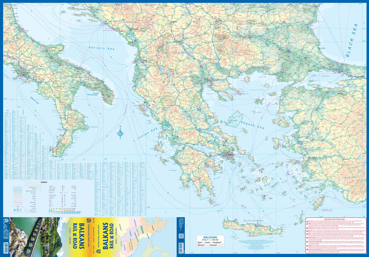
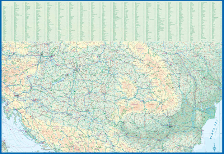
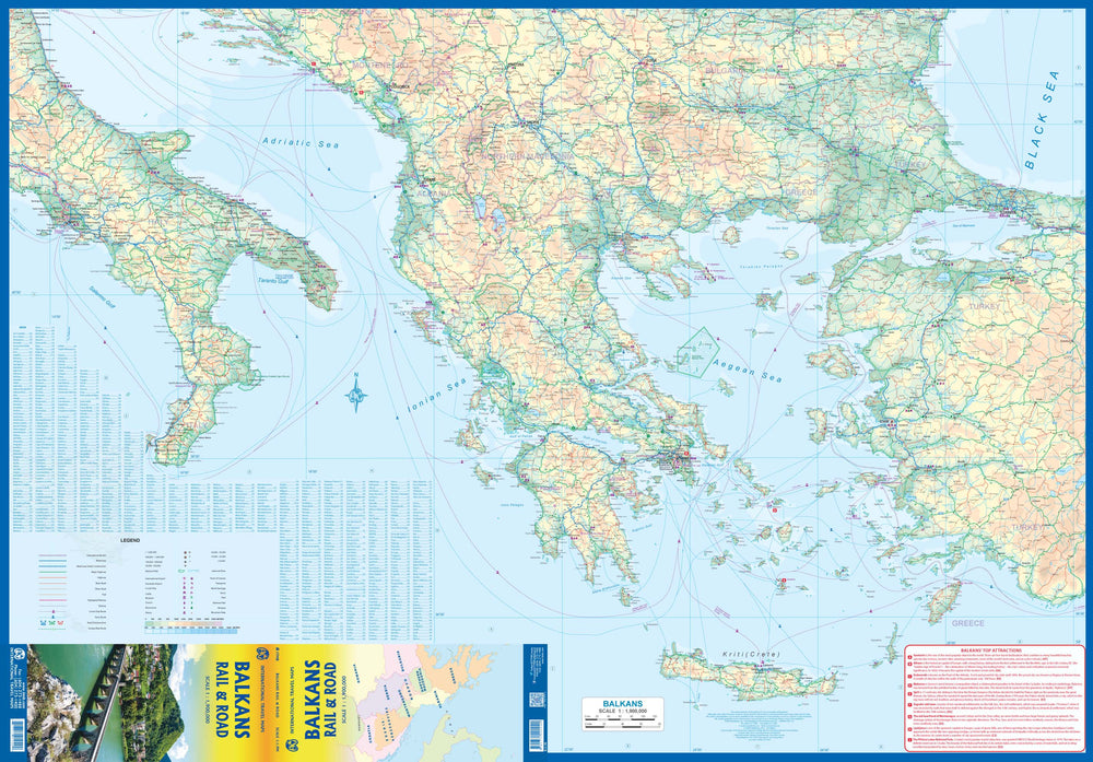
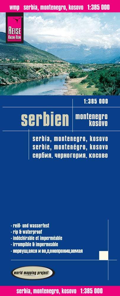
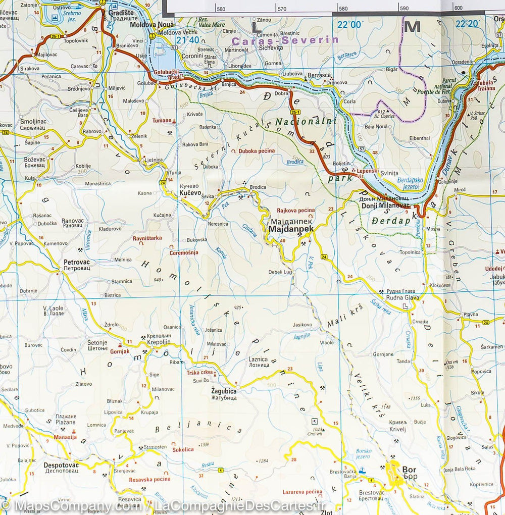
Map of Balkan roads and railways published by ITM, ideal for planning a trip to several countries in this region.
The legend includes:
Main highway, multi-lane highway, high-speed railway, sea crossing, international border, cities, national park, international airport, port, historic site, monument, World Heritage site, volcano, etc.
ISBN/EAN : 9781771291040
Publication date: 2022
Scale: 1/1,900,000 (1cm=19km)
Printed sides: both sides
Folded dimensions: 24.6 x 10.3 x 0.5cm
Unfolded dimensions: 100 x 68cm
Language(s): English
Weight:
54 g


