Road atlas of the Western Balkans published by Freytag & Berndt.
This spiral atlas covers in detail Albania, Bosnia and Herzegovina, Kosovo, Montenegro, North Macedonia, Serbia.
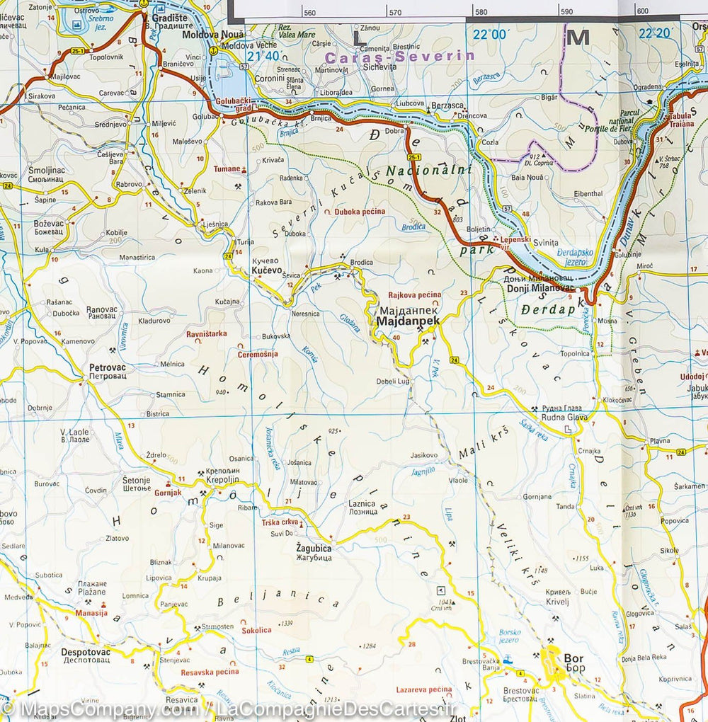
Symbols indicate significant locations such as tourist or historical sites, campsites, etc.
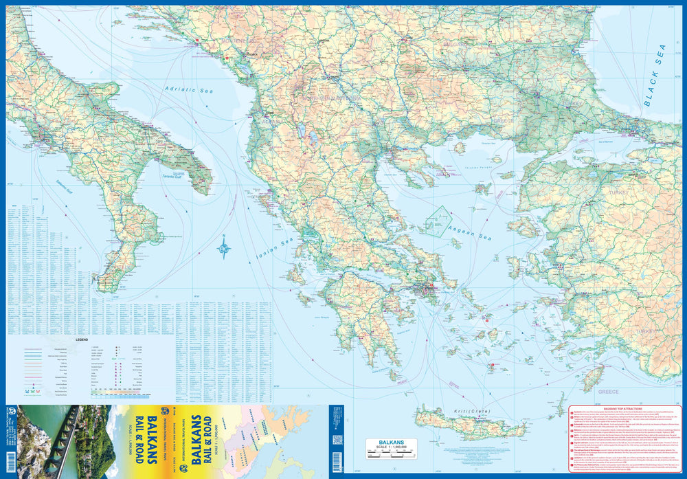
- Planning map of the Balkans at 1:1,000,000 and of Europe at 1:3,500,000
- Hidden spiral binding
- Camping and caravanning pitches, tourist information
- Eight city maps, including Sarajevo, Tirana and Belgrade
- Index of localities with postal codes
- 320 pages.
Multilingual legend.
ISBN/EAN : 9783707922899
Publication date: 2024
Pagination: 320 pages
Scale: 1/150,000 (1cm=1.5km)
Folded dimensions: 24x30cm
Language(s): French, English, German, Spanish, Italian
Weight:
909 g


