Carte murale (en anglais) - Grande Bretagne & Irlande (administrative) - 84 x 119 cm | Maps International carte murale petit tube Maps International

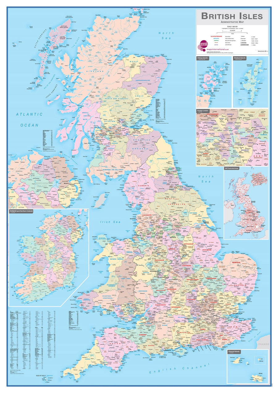
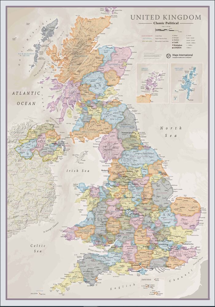
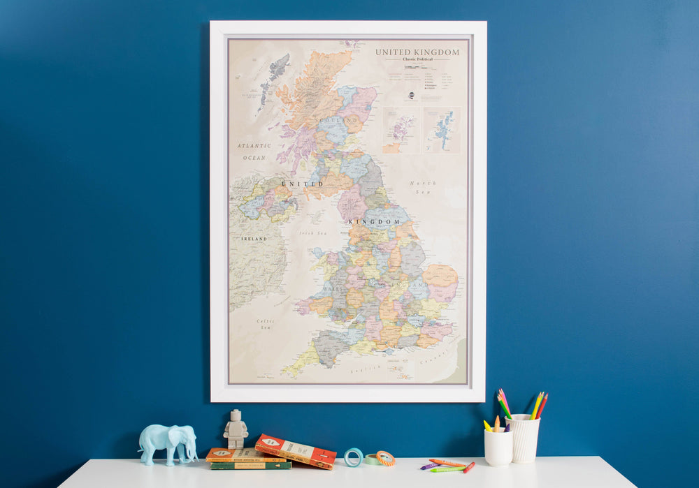
Wall Map (English) - Great Britain & Ireland (Administrative) - 84 x 119 cm | Maps International

Price
Regular price $24.00
Regular price $36.00 Sale price $24.00
Save $12
/
  • Shipping within 24 working hours from our warehouse in France (except laminated models)
  • Delivery costs calculated instantly in the basket
  • Real-time inventory
  • In stock, ready to ship
  • Backordered, shipping soon
Tax included.

Often purchased together:

Administrative wall map of Great Britain and Ireland (in English).

Shows counties in different colors. Boroughs and districts are also shown on this map, along with cities and towns. Contains a small map of postcode areas in the British Isles, along with population details.
Dimensions 84 x 119 cm .

Please note: for the laminated card, an additional period of a few days may be necessary for lamination.


    ISBN / EAN : 9781904892670
    Date de publication : 2015
    Echelle : 1/850,000 (1cm=8.5km)
    Impression: front
    Dimensions déplié(e) : 84 x 119cm
    Langue : English
    Poids : 300 g

    Customer Reviews

    Be the first to write a review
    0%
    (0)
    0%
    (0)
    0%
    (0)
    0%
    (0)
    0%
    (0)