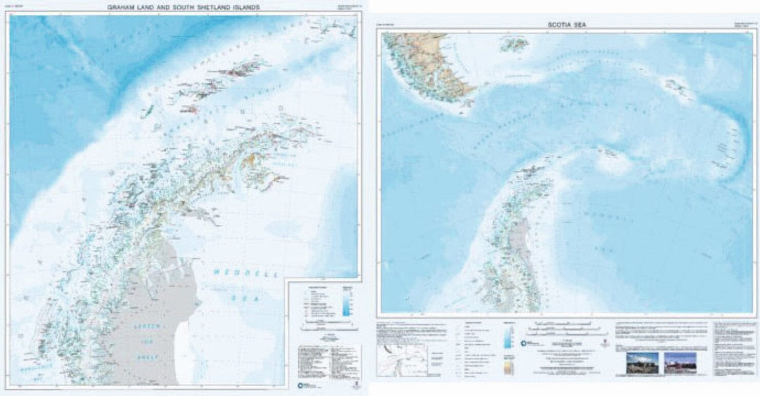
Terre de Graham et îles Shetland du Sud / Carte de la mer de Scotia | British Antarctic Survey carte murale petit tube British Antarctic Survey

Graham Land and South Shetland Islands / Map of the Scotia Sea | British Antarctic Survey

Price
Regular price $26.00
Regular price Sale price $26.00
Save $-26
/
  • Shipping within 48 business hours from our warehouse in the USA. For this product, customs fees may be requested by the carrier upon delivery.
  • Delivery costs calculated instantly in the basket
  • Free returns (*)
  • Real-time inventory
  • In stock, ready to ship
  • Backordered, shipping soon
Tax included.

Often purchased together:

This double-sided map provides an overview of the northern Antarctic Peninsula on side A, with a regional scale map covering the Scotia Sea region on side B. It is an ideal companion for travel from South America or the Falkland Islands to South Georgia or the Antarctic Peninsula.
Side A: Scale 1:1,000,000. This map covers the South Shetland Islands and the Antarctic Peninsula as far south as Marguerite Bay at 68°30'S. It shows topographic features such as: coastline; ice shelves; rock exposure; contours; selected heights of mountain peaks; shaded terrain; bathymetry and major place names; permanent and summer-only scientific research stations and historic sites and monuments.
Side B: Scale 1:4,000,000. This map covers the Scotia Sea region including: Argentina and Chile south of 50°S (including Ushuaia and Punta Arenas); the Falkland Islands; South Georgia; the South Sandwich Islands; the South Orkney Islands and the northern Antarctic Peninsula.


ISBN/EAN : 9780856652110
Publication date: 2017
Language(s): English
Weight: 96 g

Customer Reviews

Be the first to write a review
0%
(0)
0%
(0)
0%
(0)
0%
(0)
0%
(0)