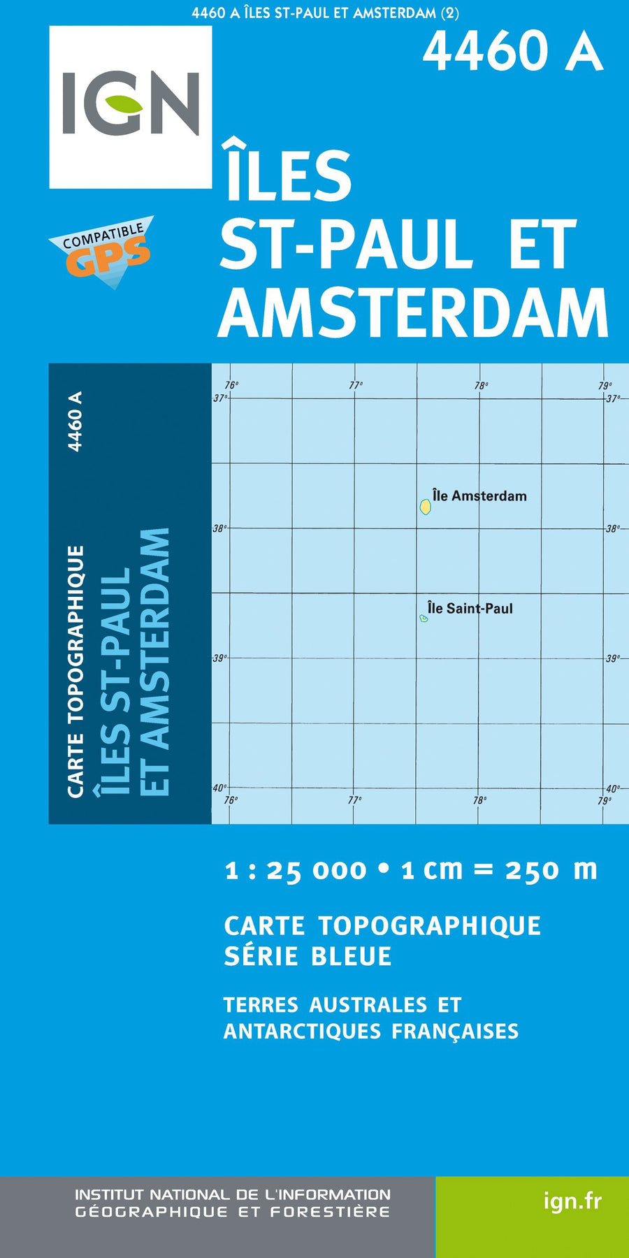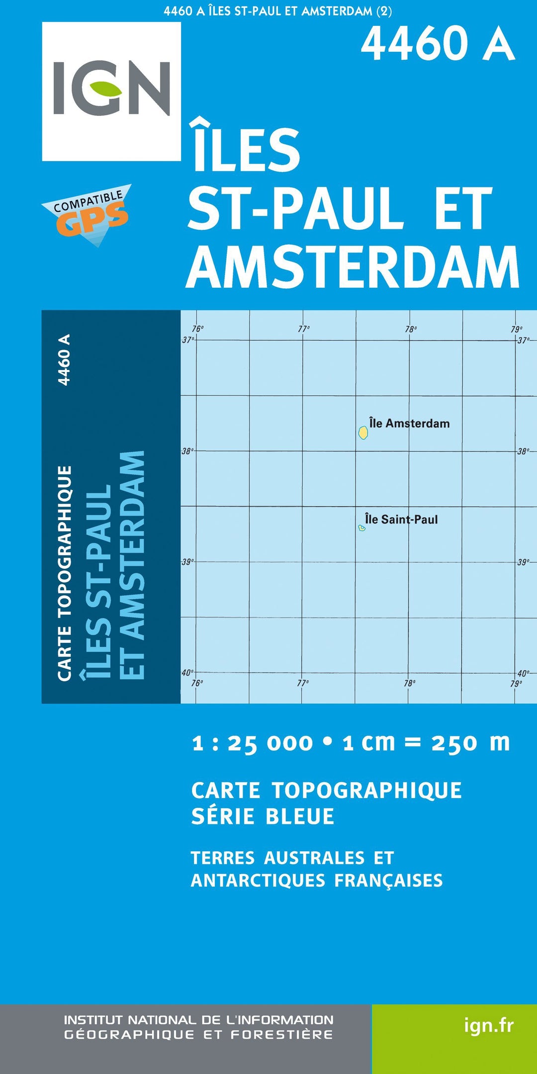
Carte de randonnée n° 4460A - Iles Saint-Paul et Nouvelle Amsterdam | IGN - Série Bleue carte pliée IGN

Hiking map # 4460a - Saint Paul Islands and New Amsterdam | IGN - Blue Series

Price
Regular price $16.00
Regular price Sale price $16.00
Save $-16
/
  • Product on order - Shipping within 5 to 8 working days from our warehouse in France
  • Delivery costs calculated instantly in the basket
Tax included.

Often purchased together:

The indispensable hiking map! These topographic maps of a very high accuracy contain all existing details in the field: communication pathways to the slightest path, constructions to the hangar, wood, isolated tree, river, source ... without forgetting the representation of the relief by level curves.


ISBN / EAN : 9782758517566
Date de publication : 2013
Echelle : 1/25,000 (1cm=250m)
Dimensions plié(e) : 24 x 11cm
Dimensions déplié(e) : 96cm x 132cm
Langue : French, English, German
Poids : 89 g

Customer Reviews

No reviews yet
0%
(0)
0%
(0)
0%
(0)
0%
(0)
0%
(0)
More from Antarctica
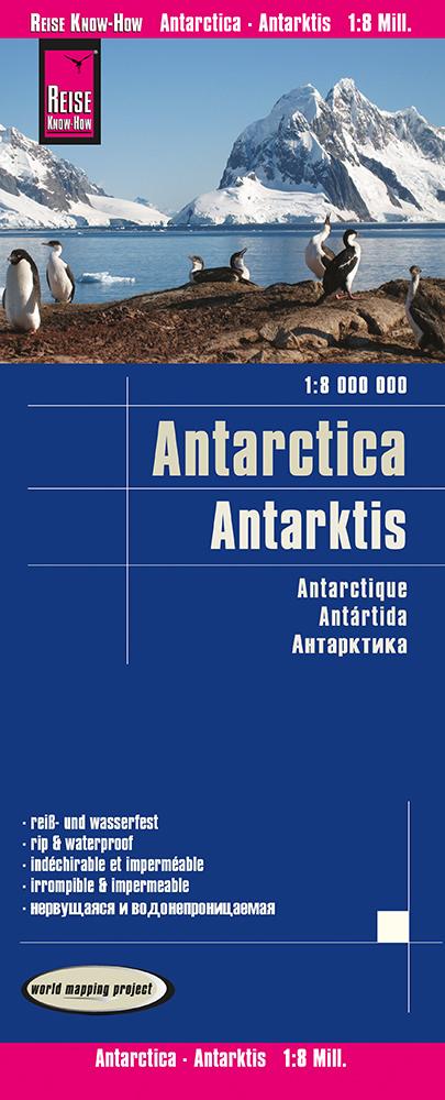
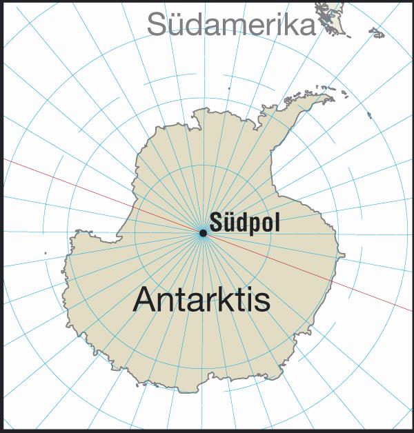
Carte de Antarctique | Reise Know How carte pliée Reise Know-How
General Map - Antarctica | Reise Know How
Reise Know-How
$12.00
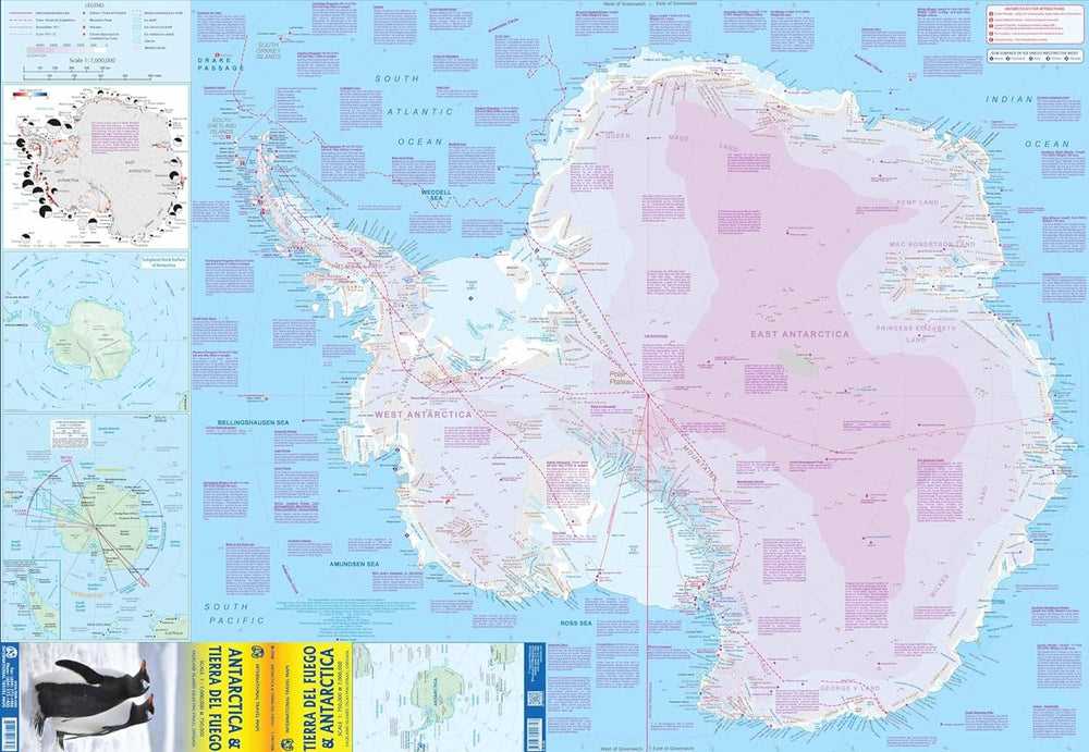
Carte de voyage - Antarctique & Terre de Feu | ITM carte pliée ITM
Travel map - Antarctica & Terre de Fire | ITM
ITM
$15.00
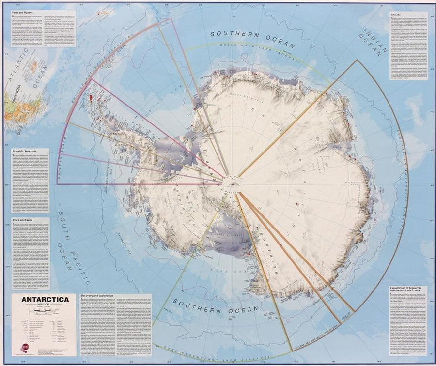
Carte murale – Antarctique (en anglais) – 120 x 100 cm | Maps International - La Compagnie des Cartes
Wall map - Antarctica - 120 x 100 cm | Maps International
Maps International
from $27.00