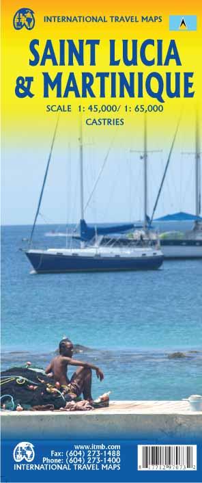
Carte topographique - Sainte Lucie (Caraïbes) | Kasprowski carte pliée Kasprowski

Topographic Map - Saint Lucia (Caribbean) | Kasprowski

Topographic Map - Saint Lucia (Caribbean) | Kasprowski

Regular price $19.00
/
  • Shipping within 24 working hours from our warehouse in France
  • Delivery costs calculated instantly in the basket
  • Free returns (*)
  • Real-time inventory
  • In stock, ready to ship
  • Backordered, shipping soon
Tax included.
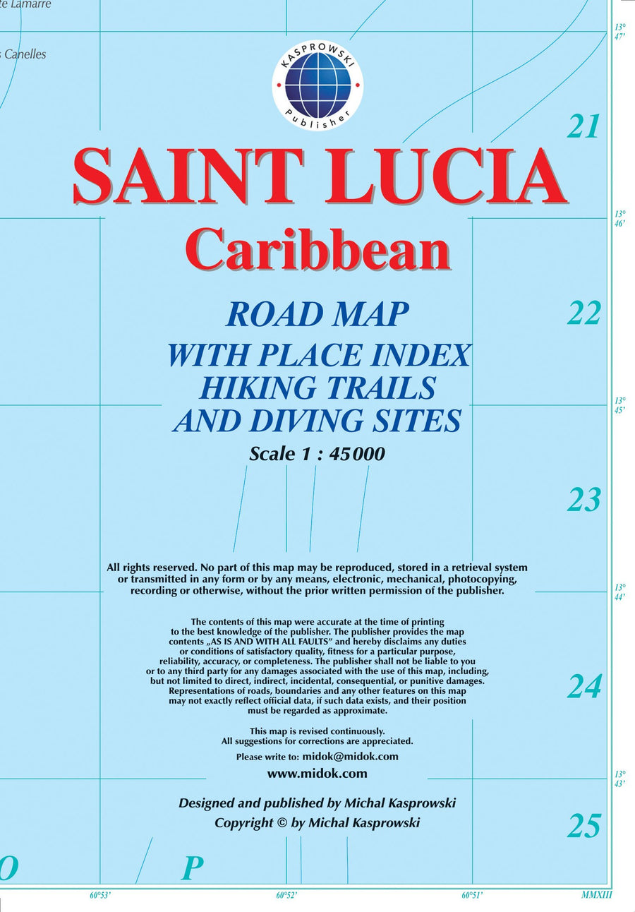
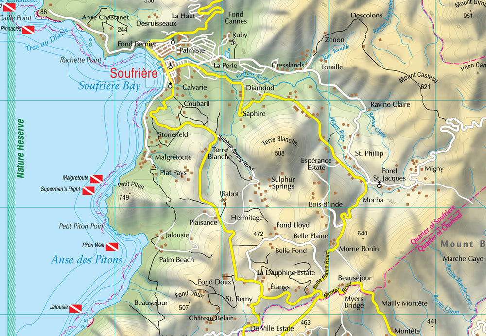
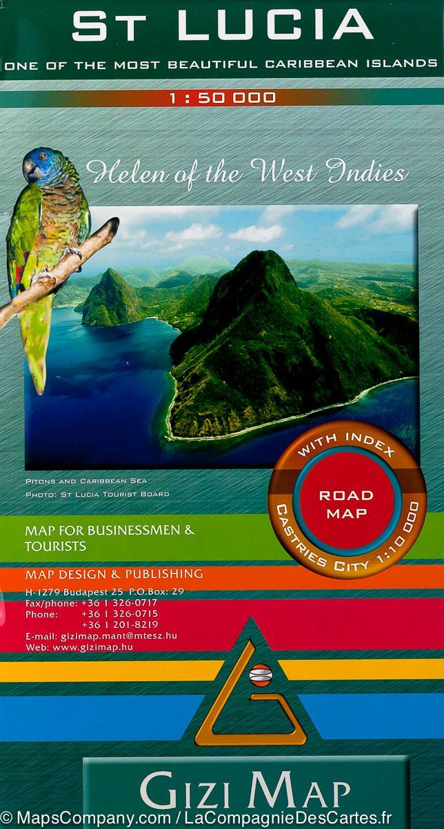
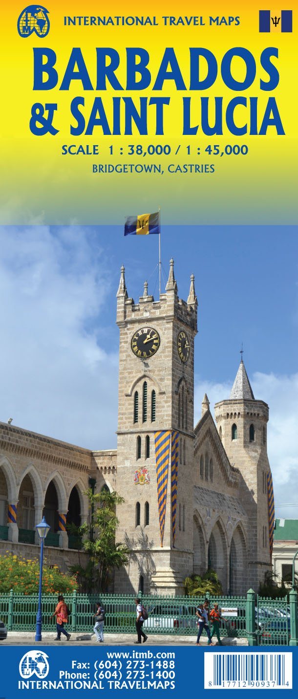
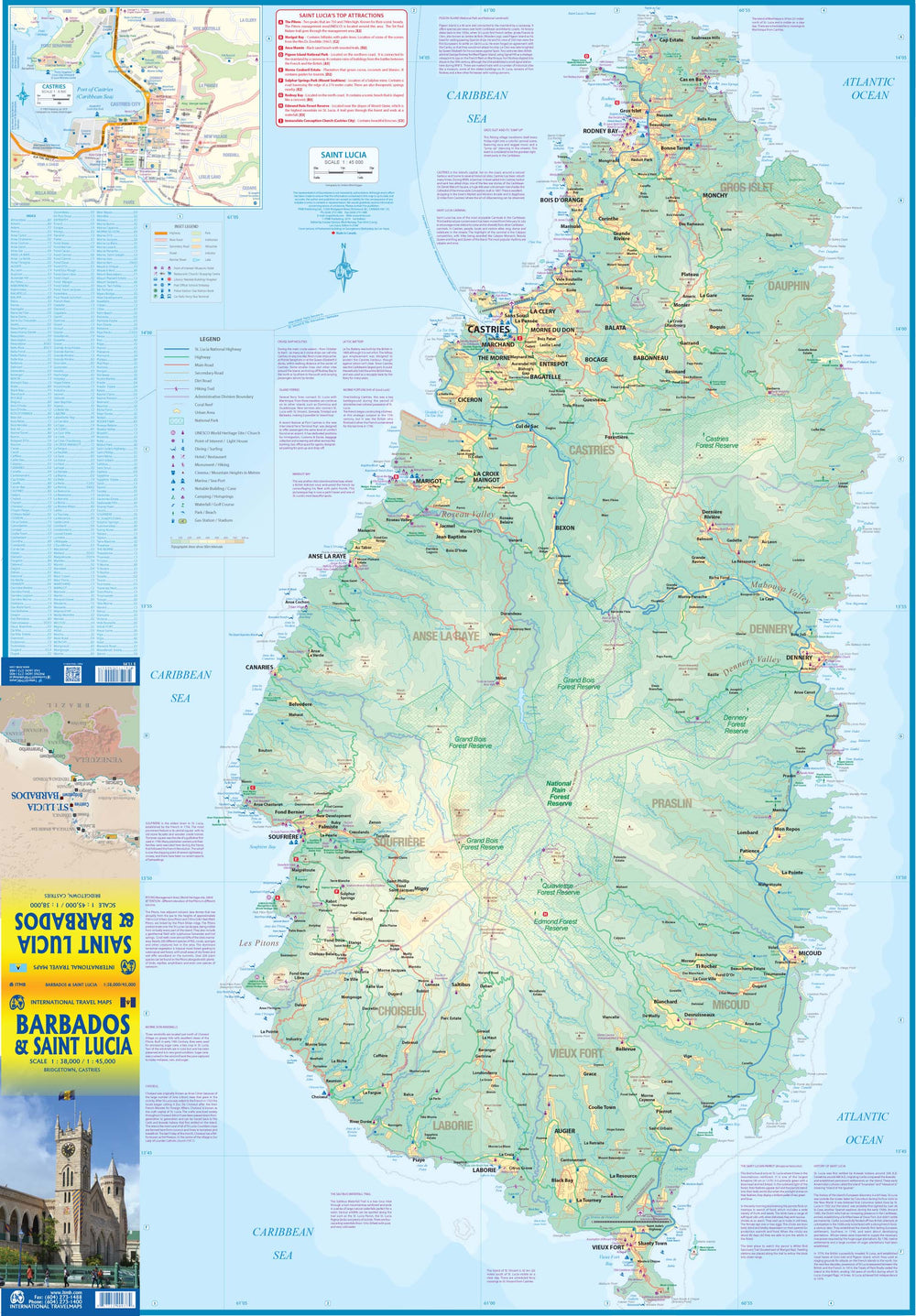
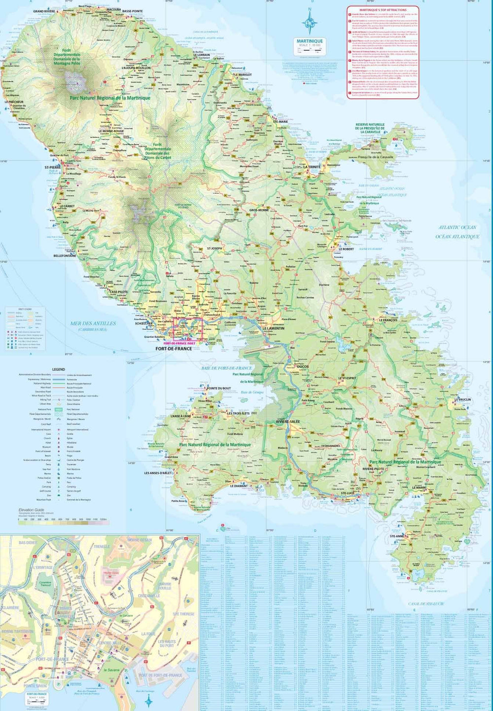
This complete road map comprising a geographical index of Saint Lucia (scale 1: 45,000) takes all the roads and streets known to the island with their names, locates hiking trails and dive sites. It provides inserts for the main urban areas: Castries Capital, Gros Islet, Soufriere and Old Fort.
The map is sold folded, measuring 13.5 cm x 19.5 cm and is designed for easy opening and folding. Its complete format unfolded is 67 cm x 98 cm.

The map has the following features:
- the complete road network detailed on the street
- a complete index of streets and roads
- Additional maps of main cities
- an attractive presentation, all in color
- very detailed topography
- Legend and ladder
- The depth lines, the probes in meters, the lines of longitude and latitude and other identifiers.


ISBN/EAN : 9791095793083
Publication date: 2013
Scale: 1/45000 (1cm=450m)
Folded dimensions: 22.5 x 12.5cm
Unfolded dimensions: 67 x 98cm
Language(s): English
Poids : 89 g

Customer Reviews

Based on 1 review
100%
(1)
0%
(0)
0%
(0)
0%
(0)
0%
(0)
p
philippe c. (Castries, LC)
L'indispensable de ste lucie

Carte topo détaillée avec les principaux sites remarquables indiqués.
Indispensable car dans l'ile on ne trouve ni guides touristiques ni syndicats d'initiative. De Très rares commerces proposent une carte routière mais moins bien informée.