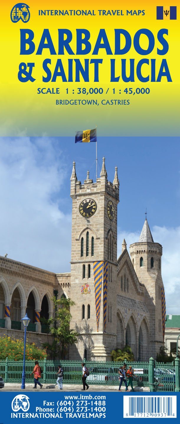
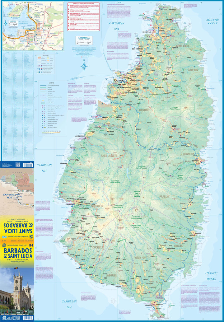
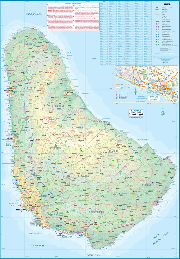
Road map of Barbados and Saint Lucia published by ITM.
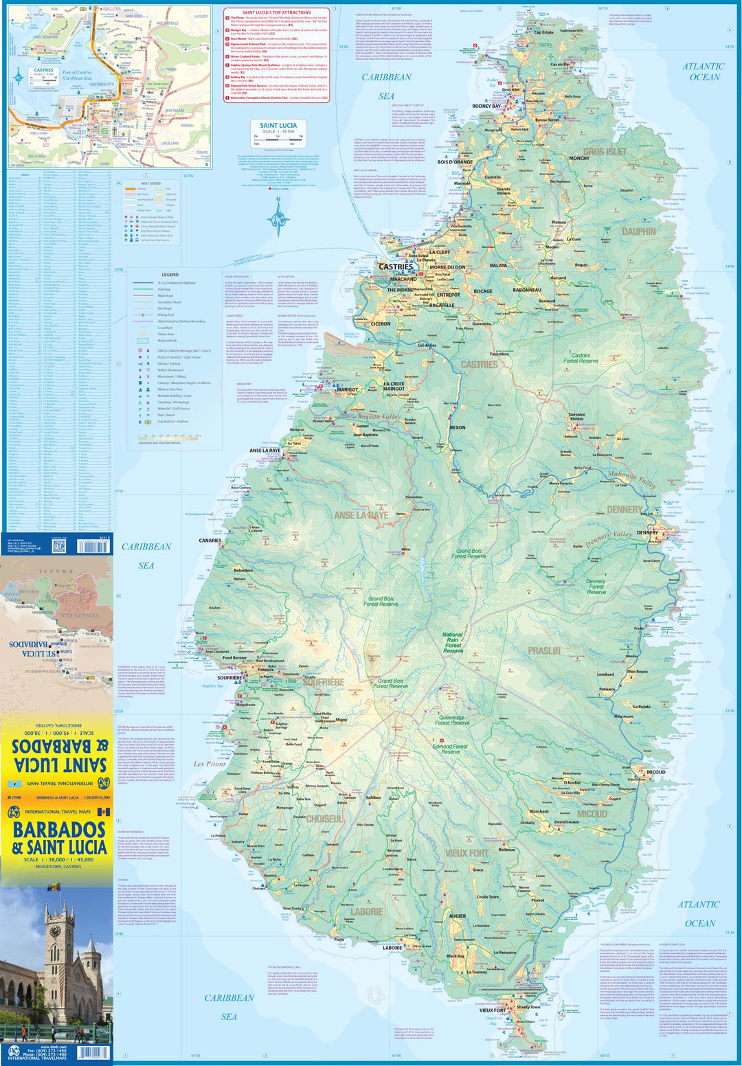
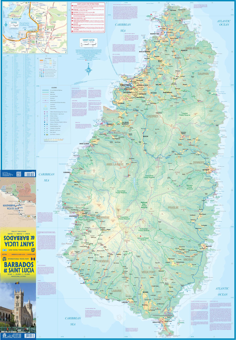
The recto covers Sainte - Lucia, with a complete plan in the medallion of Castries, the capital. The interior of the mountainous island is mainly covered with tropical forest and is largely inaccessible. The island has two airports and a cruise dock (in Castries) which provides access to the inter - island ferries from Saint - Vincent, Barbados, Martinique, Dominica and Guadeloupe, so that the Island is easily accessible internationally. The seaside resorts abound in Marigot, Rodney Bay, Soufriere and Old Port. A good highway connects the extreme north to the extreme south.
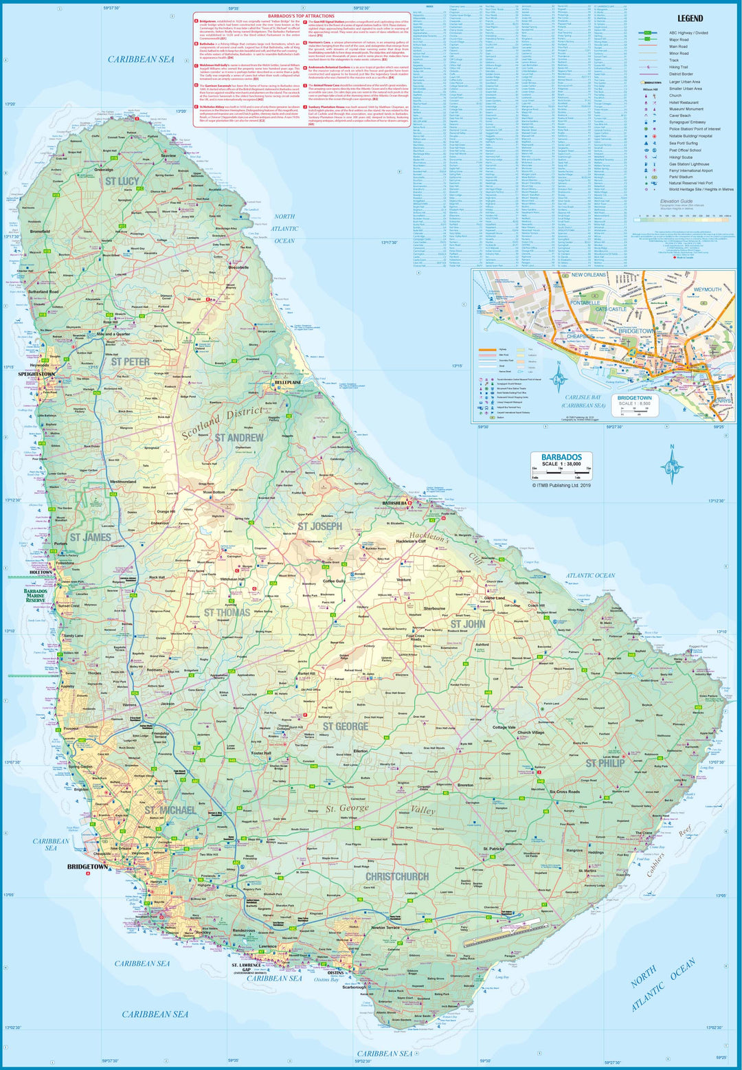
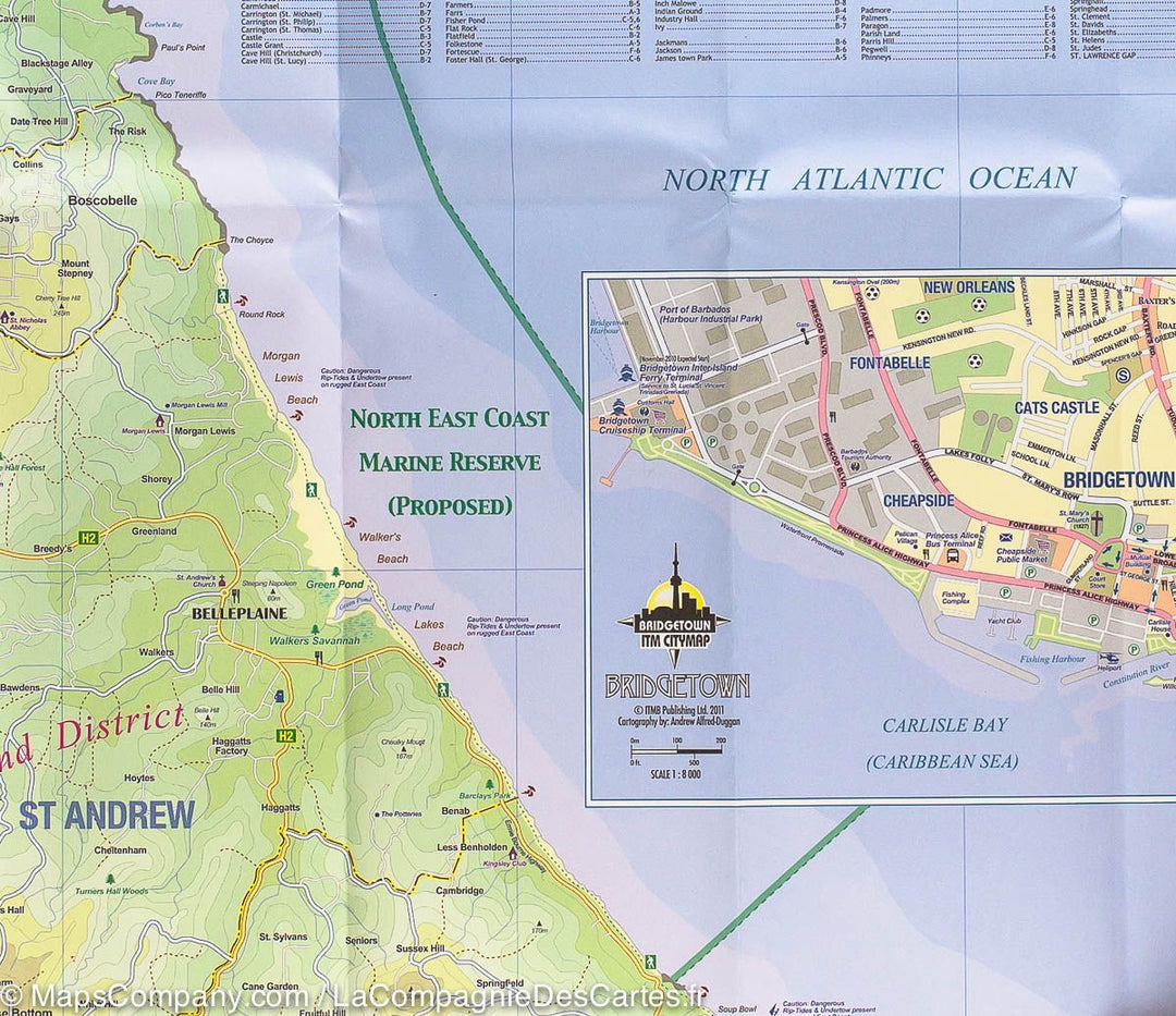
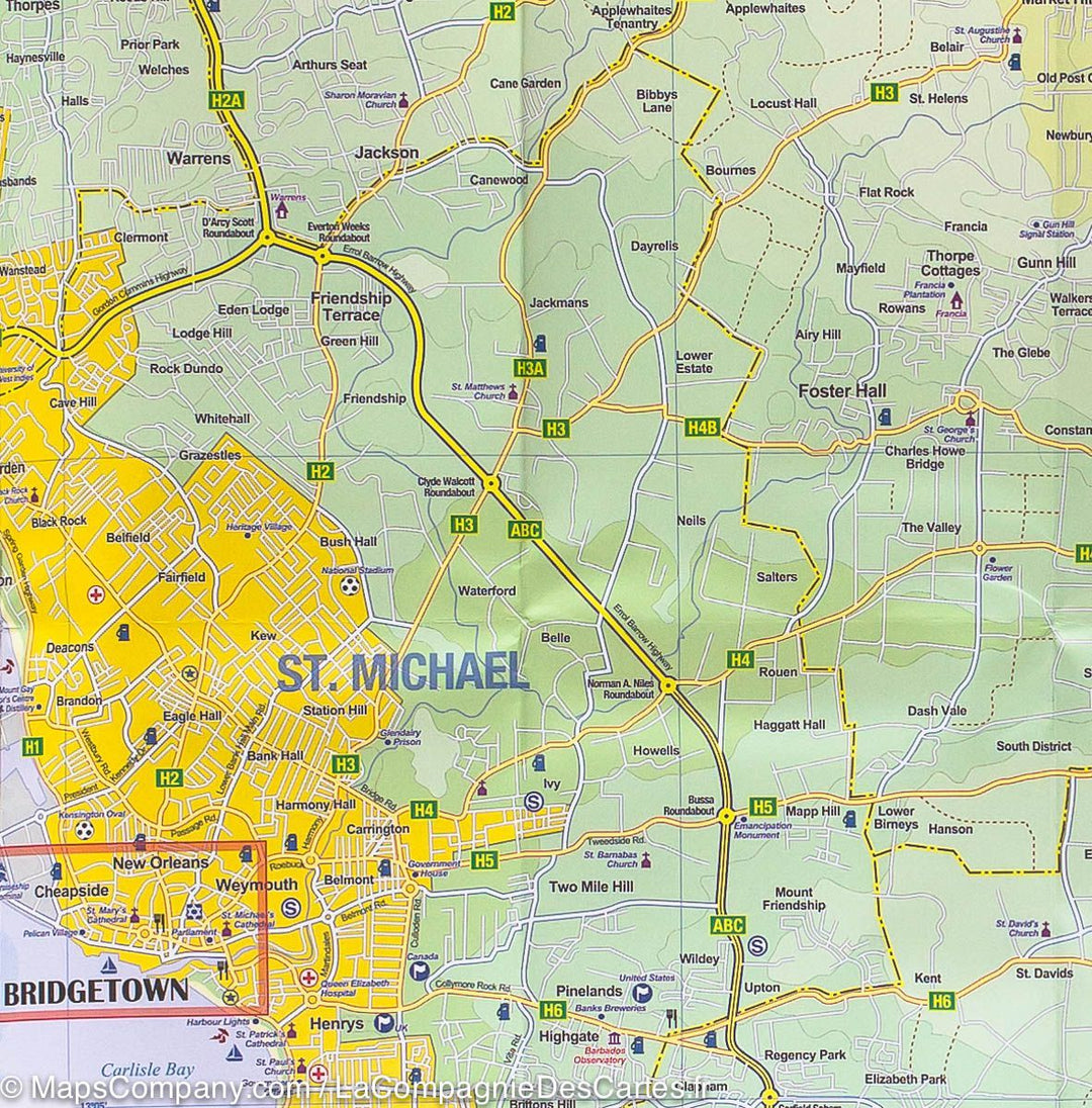
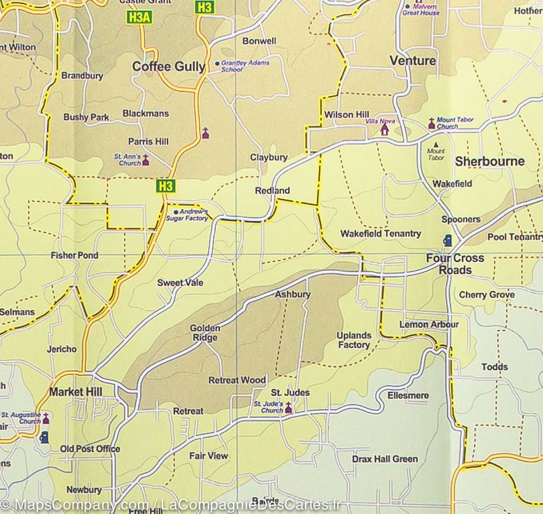
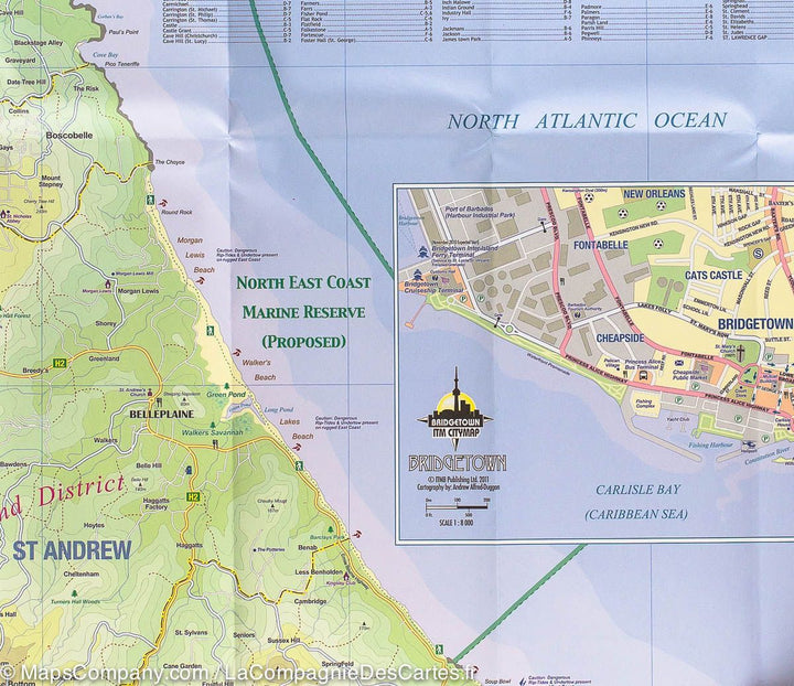
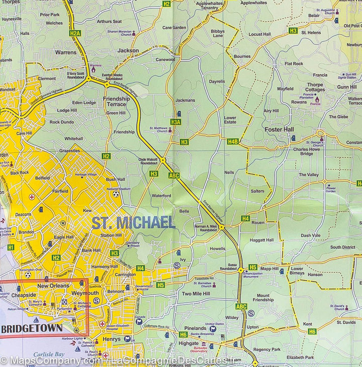
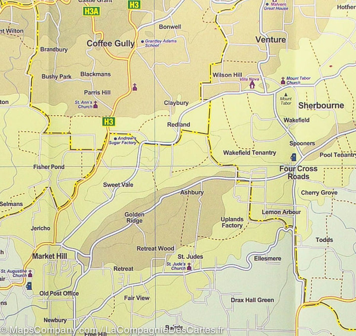
The other side of the map covers Barbados with details and excellent map of Bridgetown Medallion, the capital. The island airport is east of the capital, and the resort is in St. Lawrence Gap, on the south coast, with another along the west coast, in Holetown.
Indication of outdoor activities. Cities index.
ISBN/EAN : 9781771290937
Publication date: 2020
Scale: 1/38,000 (1 cm = 380 m) & 1/45,000
Printed sides: front
Folded dimensions: 24.6 x 10.3 x 0.5cm
Unfolded dimensions: 100 x 69cm
Language(s): English
Weight:
51 g


