Carte routière - Pilbara, Coral Coast (Australie Occidentale) | Hema Maps carte pliée Hema Maps

Road Map - Pilbara, Coral Coast (Western Australia) | Hema Maps

Road Map - Pilbara, Coral Coast (Western Australia) | Hema Maps

Regular price $16.00
/
  • Shipping within 24 working hours from our warehouse in France
  • Delivery costs calculated instantly in the basket
  • Free returns (*)
  • Real-time inventory
  • In stock, ready to ship
  • Backordered, shipping soon
Tax included.
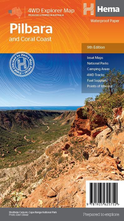
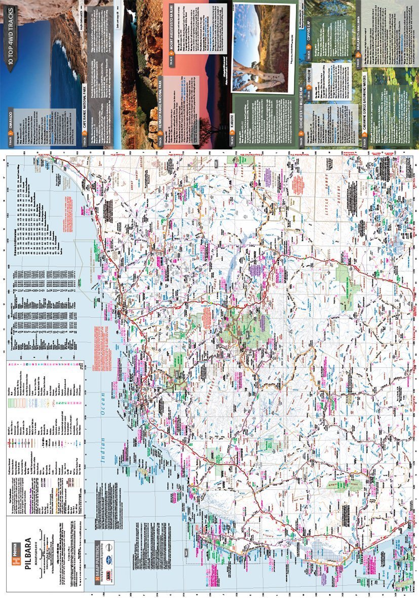
This regional waterproof map of the coast of Pilbara and Coral is ideal for discovering Northern Western Australia. The main map covers the various marine attractions around Shark Bay, François Peron National Park and Ningaloo Reef. It also extends to the Karijini grooves, the lush habitats of Millstream Chichester National Park and the magnificent Marble Bar.

It also contains additional information on permits, useful contacts and the historical context surrounding some The most popular tourist destinations in the region.


ISBN/EAN : 9781925625752
Publication date: 2019
Scale: 1 / 1,200,000 (1cm = 12km)
Printed sides: both sides
Folded dimensions: 25x14cm
Unfolded dimensions: 75x70cm
Language(s): English
Poids : 82 g

Customer Reviews

No reviews yet
0%
(0)
0%
(0)
0%
(0)
0%
(0)
0%
(0)