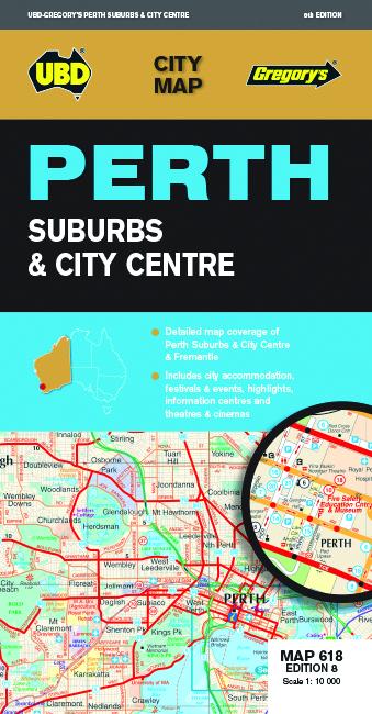
Plan de ville - Perth City & Suburbs, n° 618 | UBD Gregory's carte pliée UBD Gregory's

City map - Perth City & Suburbs # 618 | UBD Gregory's

Price
Regular price $13.00
Regular price Sale price $13.00
Save $-13
/
  • Shipping within 24 working hours from our warehouse in France
  • Delivery costs calculated instantly in the basket
  • Free returns (*)
  • Real-time inventory
  • Low stock - 2 items left
  • Backordered, shipping soon
Tax included.

Often purchased together:

Perth Map (City & amp suburbs) edited by UBD Gregory's.
publisher description:
The Latest Edition of the Perth Suburbs & amp City Center Map Has Been Fully Revised and Updated and Includes:
• 1: 10,000 Coverage of Perth, South Perth and Fremantle. Touring Information for the Best Places to Visit in Perth and Fremantle More City Highlights, Accommodation & Amp Visitor Information Centers on One Side.
• Suburban Coverage from YancheP National Park in the North, Mandurah in the South and Mundaring and Jarrahdale in the West. There is a list of the suburbs and localities featured on the suburban Map Plus The Best of Perth Suburbs, Suburban Highlights and Visitor Information on The Other Side.
• this map is an extremely useful source of information for both Tourists & amp Alike locals.


ISBN/EAN : 9780731931378
Publication date: 2018
Scale: 1/10,000 (1cm=100m)
Folded dimensions: 12 x 23cm
Language(s): English
Weight: 72 g

Customer Reviews

Based on 1 review
100%
(1)
0%
(0)
0%
(0)
0%
(0)
0%
(0)
E
ELISE M. (Château-Thierry, FR)
mitigé

Entre le plan du centre ville sur une face et le plan de la région de l'autre, il me manque un plan intermédiaire de perth et de sa banlieue.