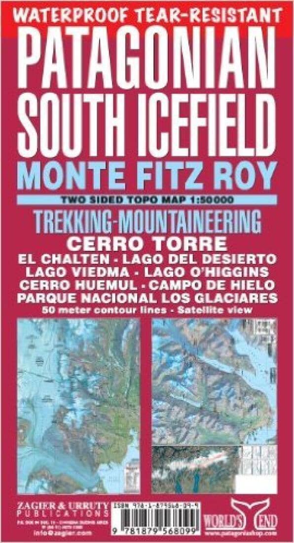
PATAGONIAN SOUTH ICEFIELD
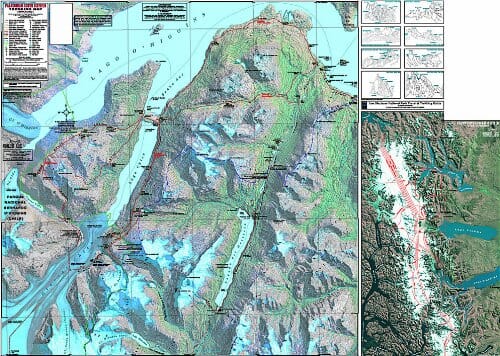
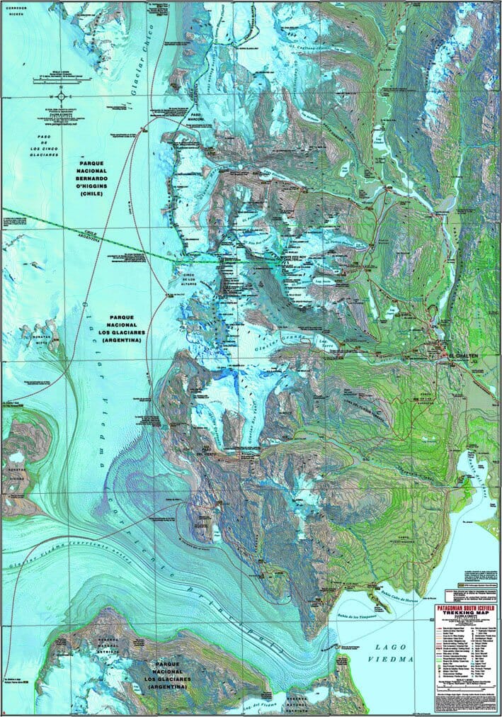
Waterproof and tear-resistant map at a scale of 1:50,000. Trekking and mountaineering map for the Monte Fitz Roy, Cerro Torre, El Chalten, and Southern Ice Cap region of Patagonia (Argentina/Chile). Satellite relief, contour lines, GPS waypoints, campsites, walking times, popular and exploration routes, and more.
From Lago O'Higgins to Lago Viedma, printed on both sides on a 70 x 100 cm sheet. The most important map covering this region.
ISBN/EAN : 9781879568099
Publication date: 2012
Folded dimensions: 9.45 inches x 5.12 inches (24 x 13 cm)
Unfolded dimensions: 37.01 inches x 25.59 inches (94 x 65 cm)
Language(s): Spanish
Weight:
70 g


