Punta Arenas : Peninsula de Brunswick : Estrecho de Magallanes - Cabo Froward (édition espagnole) | SIG Patagon carte pliée SIG Patagon

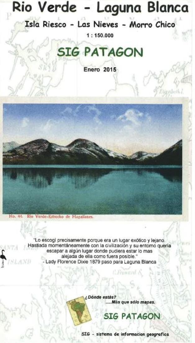
Punta Arenas: Brunswick Peninsula: Estrecho de Magallanes - Cabo Froward (Spanish edition) | GIS Patagon

Price
Regular price $17.00
Regular price Sale price $17.00
Save $-17
/
  • Shipping within 48 business hours from our warehouse in the USA. For this product, customs fees may be requested by the carrier upon delivery.
  • Delivery costs calculated instantly in the basket
  • Free returns (*)
  • Real-time inventory
  • In stock, ready to ship
  • Backordered, shipping soon
Tax included.

Often purchased together:

Punta Arenas and the Brunswick Peninsula on a lightweight, waterproof and tear-resistant, GPS-compatible map published by SIG Patagon .

On one side, the map shows the entire Brunswick Peninsula and surrounding islands at a scale of 1:285,000 . The topography is well represented by contour lines and point elevations, as well as the boundaries of protected areas. The map includes local roads and tracks, and symbols indicate sites with tourist facilities, hiking areas, wildlife viewing, etc. Ferry routes across the Strait of Magellan, including to Porvenir (in the Chilean part of Tierra del Fuego), are also shown. The map has a UTM grid, as well as latitude and longitude markers every 30'.

On the reverse side, the eastern coast of the peninsula, between Punta Arenas and Cabo Froward , is shown in greater detail at a scale of 1:85,000 , with contour lines every 50 m and more information on tourist infrastructure. This side also has a UTM grid with marginal markers every 10', and offers GPS coordinates for nine locations. The map legend is in Spanish only.

Current edition.


ISBN/EAN : 9789563980363
Publication date: 2022
Folded dimensions: 9.84 x 5.91 inch / 25 x 15cm
Unfolded dimensions: 19.69 x 28.35 inch / 50 x 72cm
Language(s): Spanish
Weight: 1.8 oz

Customer Reviews

Be the first to write a review
0%
(0)
0%
(0)
0%
(0)
0%
(0)
0%
(0)