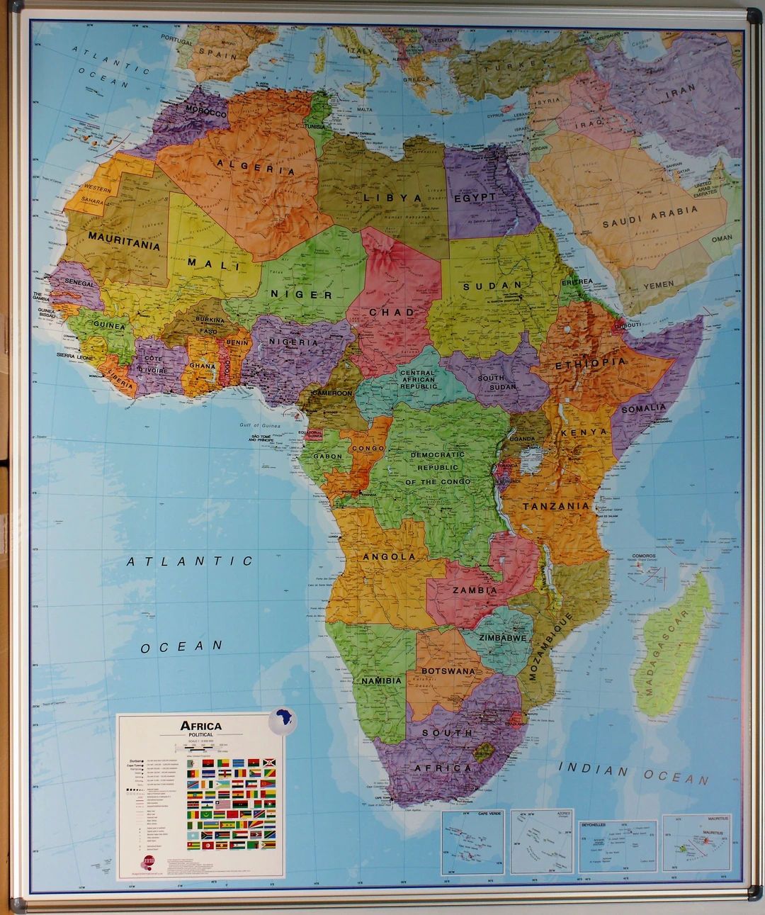
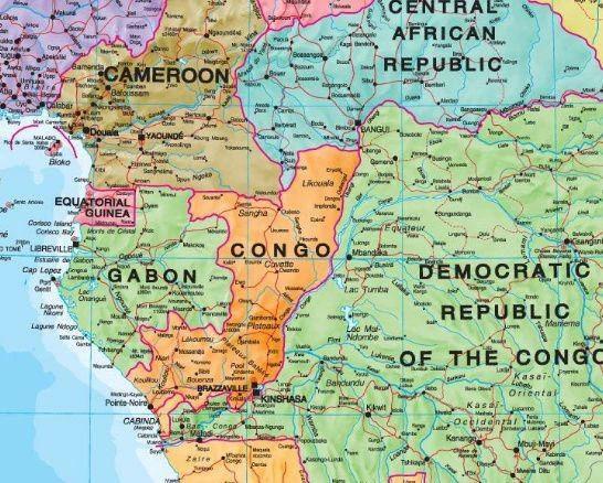
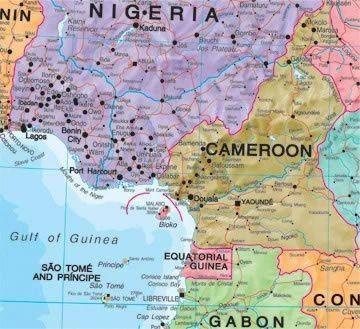
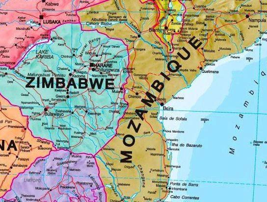
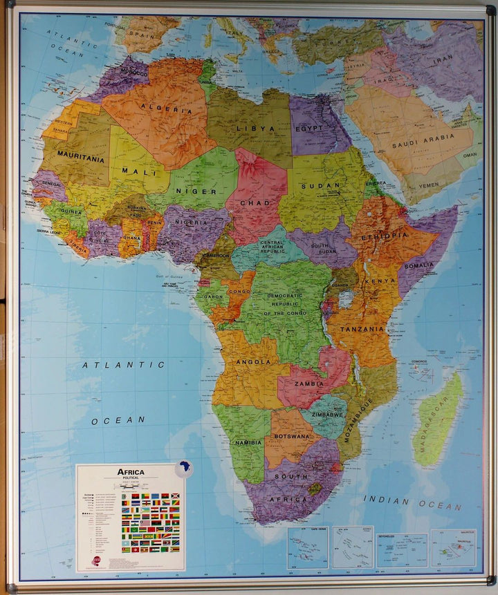
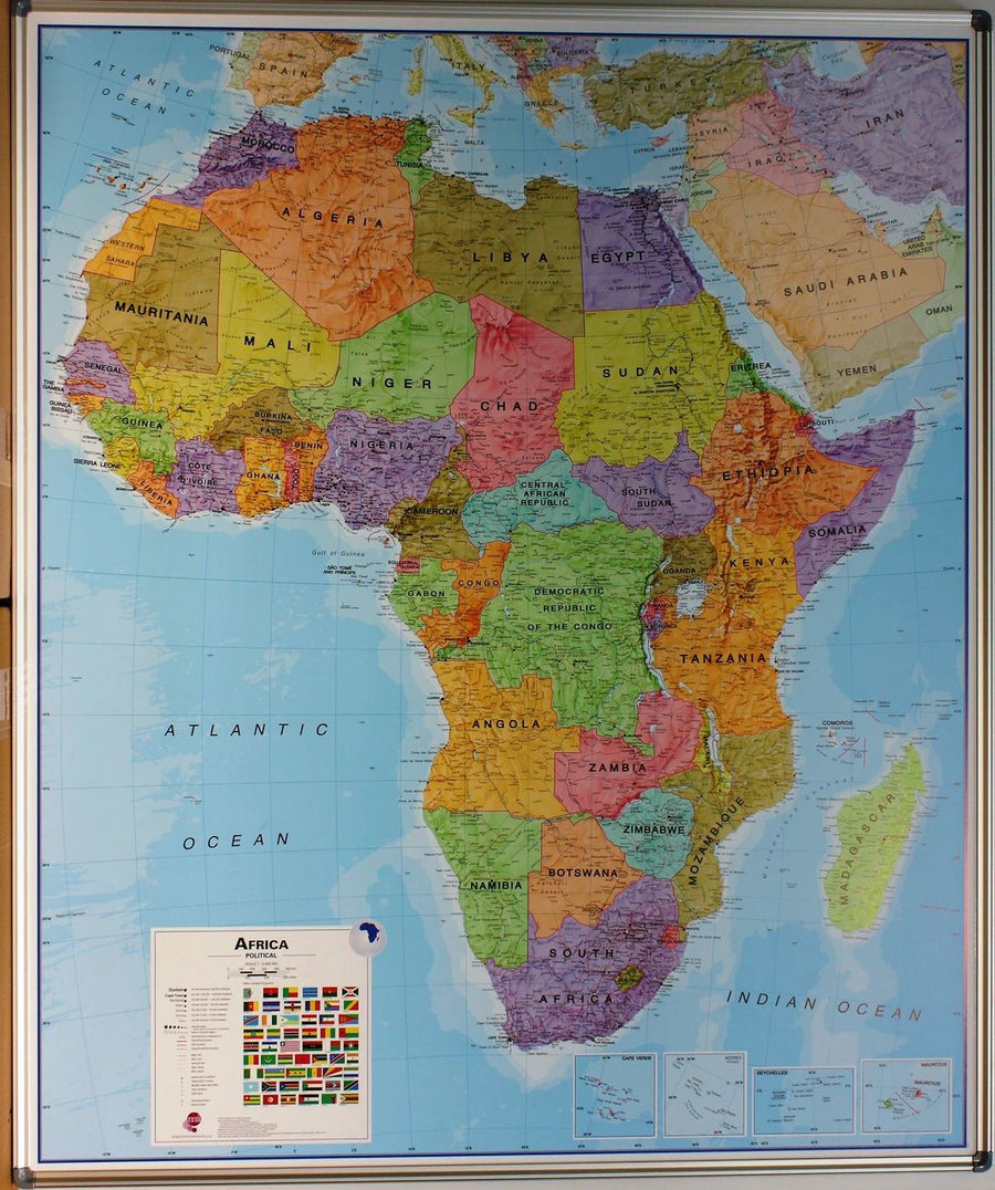
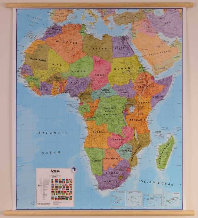
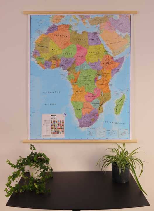
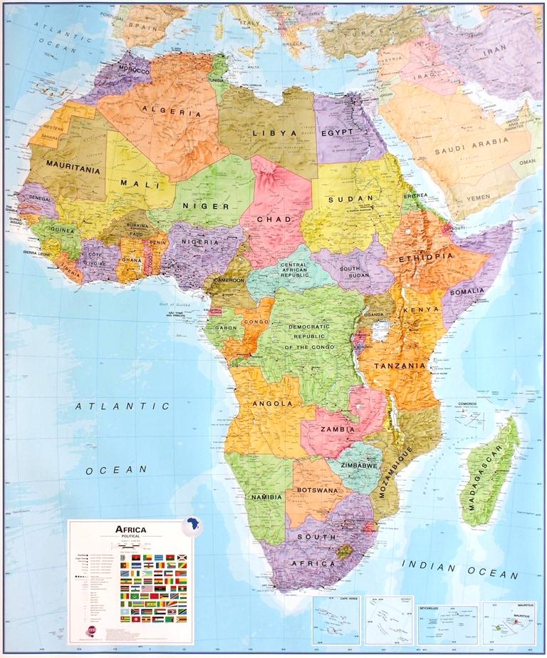
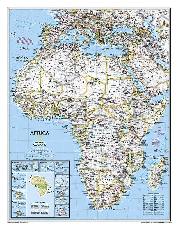
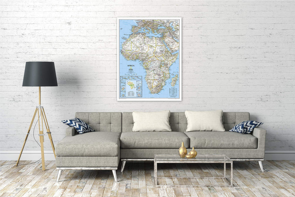
Pinse panel of political Africa (in English). The political map of Maps International, presents the countries with bright colors and the bottom of the oceans in light blue. Note : An additional time of a few days is necessary for the Manufacture and packaging of this panel.
The delivery is ensured by carrier.
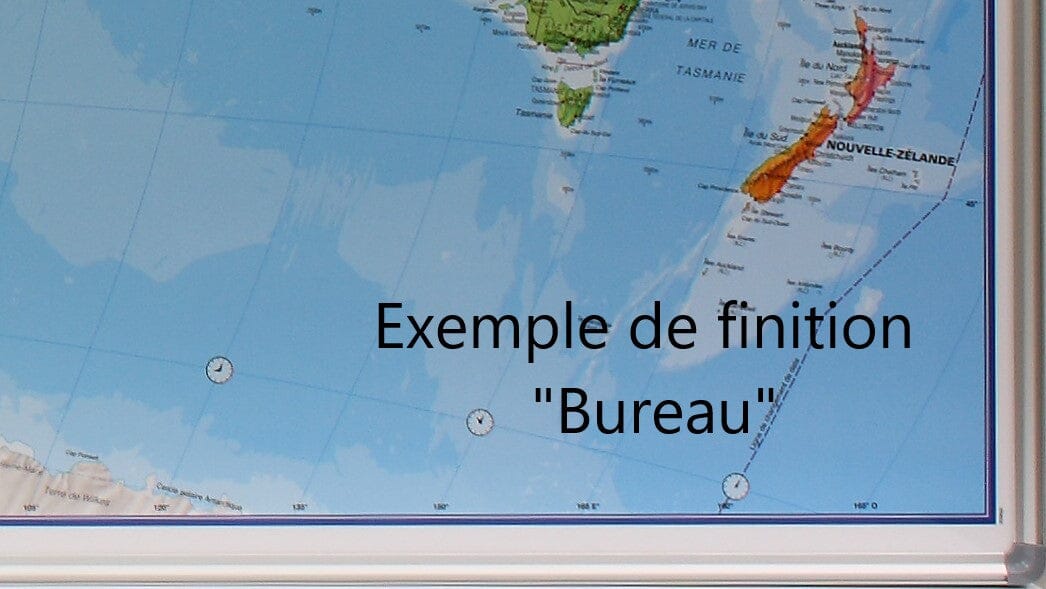
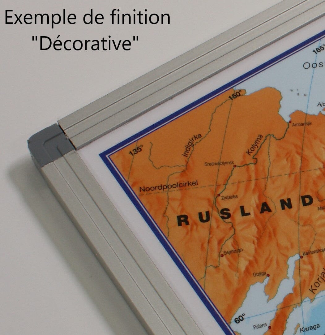
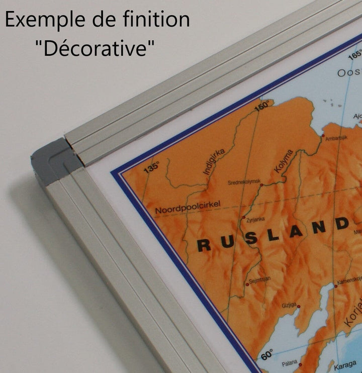
manufacturing information : The map is glued on a polystyrene plate (kapamount) and then laminatedized, which allows the use of dry felts and pins. The panel is finished in an aluminum frame with rounded gray color angles.
The dimensions of the panel are: 100 x 120 cm .
ISBN / EAN : 5425013068475
Date de publication : 2025
Echelle : 1/8,000,000 (1cm=80km)
Impression: front
Dimensions déplié(e) : 100x120cm
Langue : English
Poids :
3000 g


