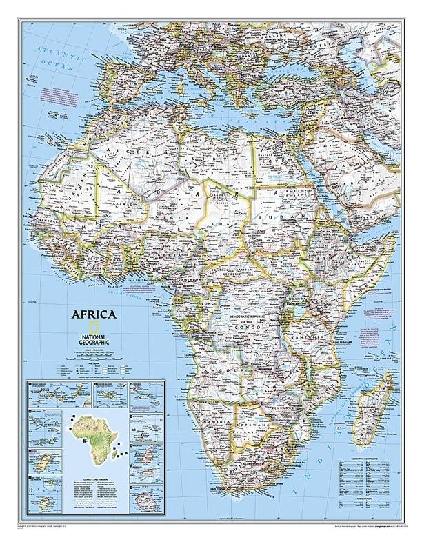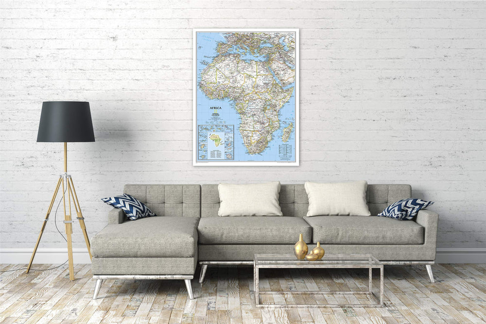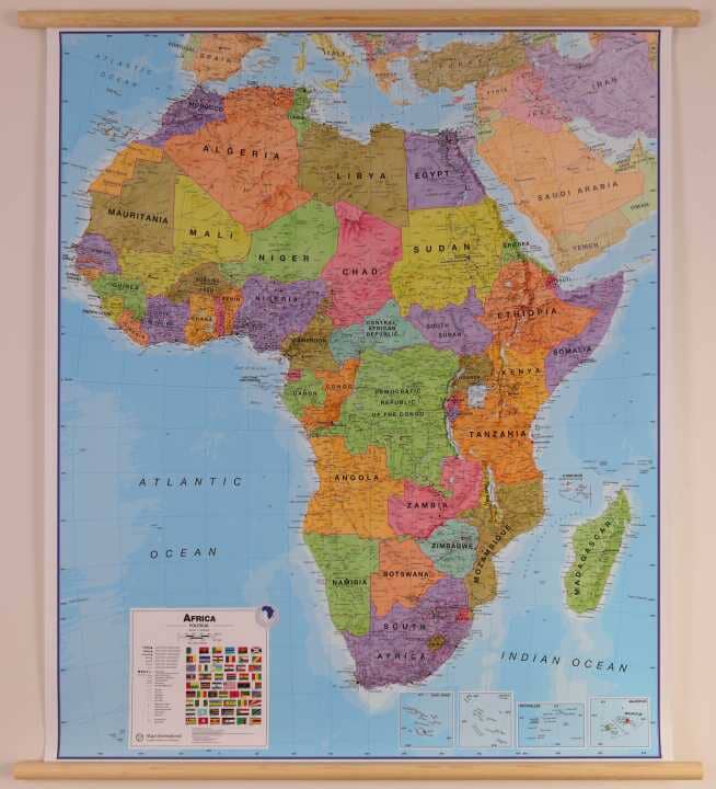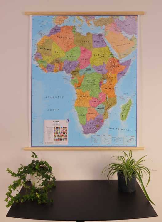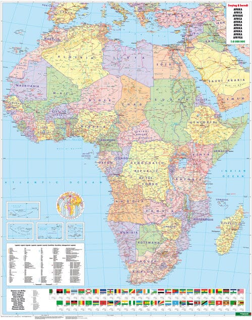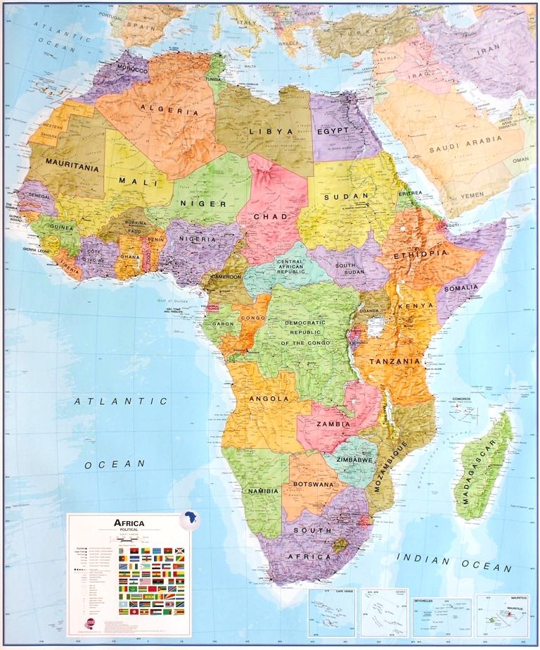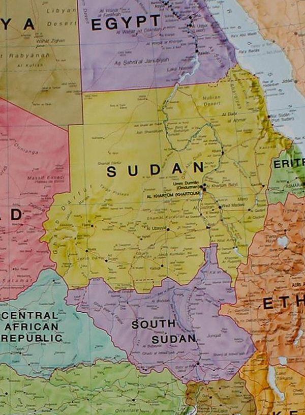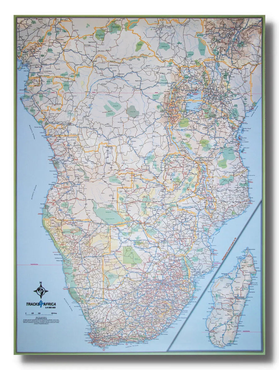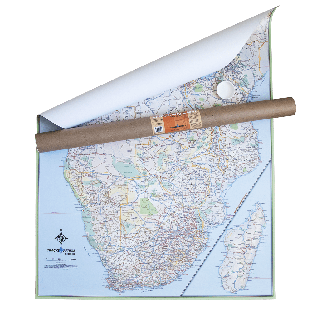
Wall Map (in English) - Political Africa - 91 x 118 cm | National Geographic
Regular price
$49.00
Regular price
Sale price
$49.00
Save $-49
/
- Shipping within 7 to 10 working days from our warehouse in France
- Delivery costs calculated instantly in the basket
Related geographic locations and collections: Africa, Africa Wall Maps