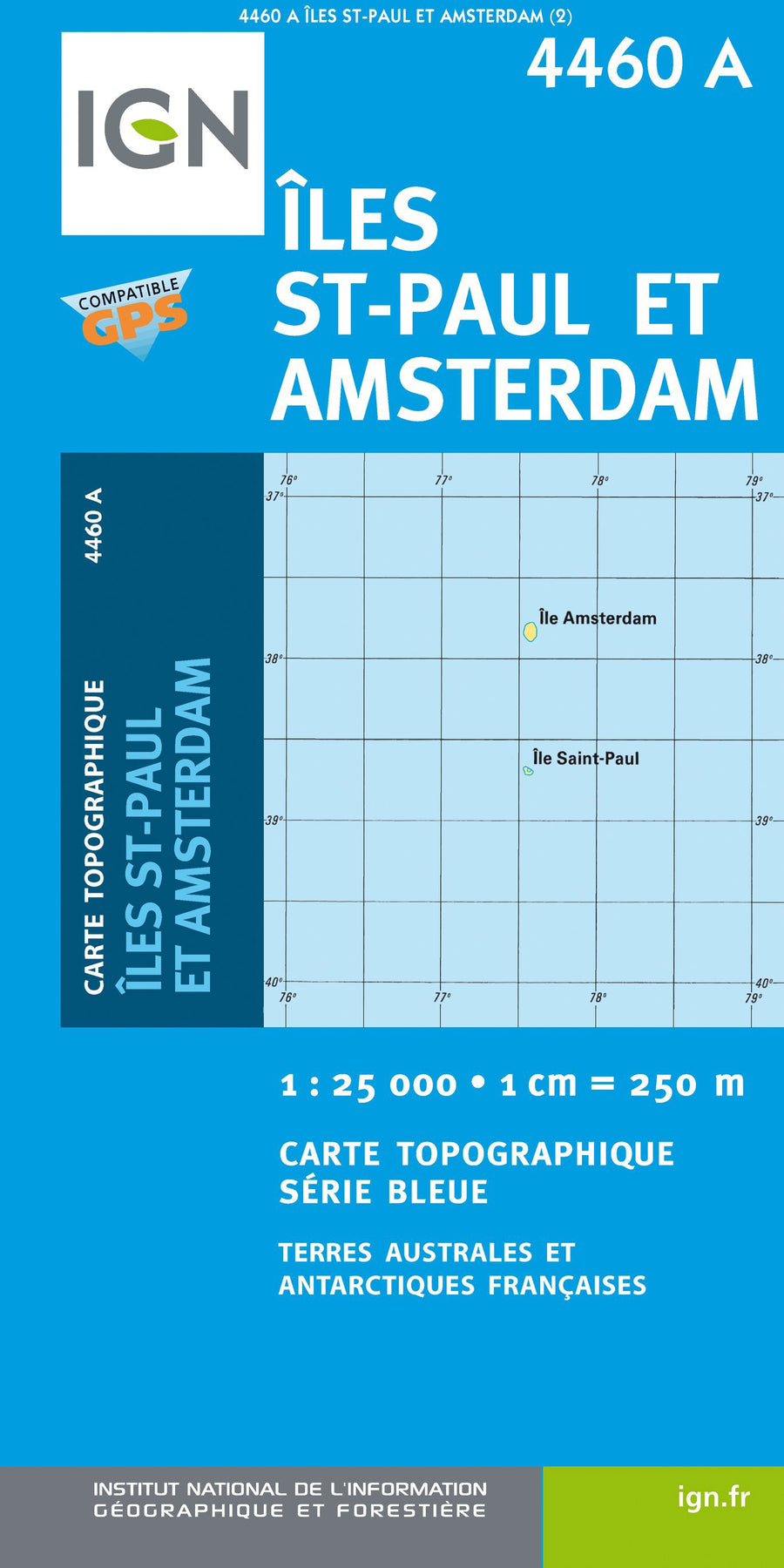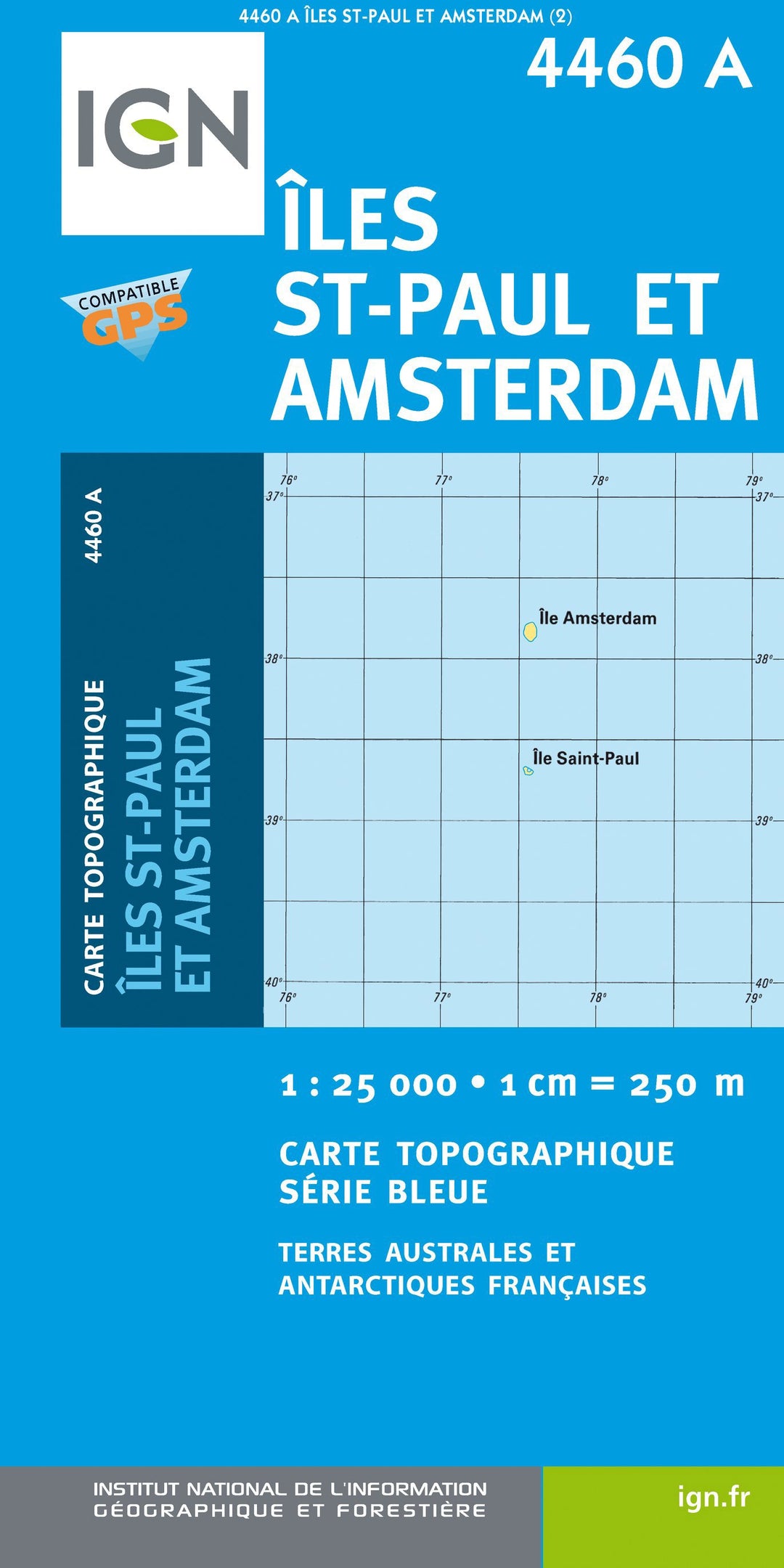
Hiking map No. 4460a - Saint Paul Islands and New Amsterdam | IGN - Blue Series
Regular price
$17.00
Regular price
Sale price
$17.00
Save $-17
/
- Product on order - Shipping within 5 to 8 working days from our warehouse in France
- Delivery costs calculated instantly in the basket
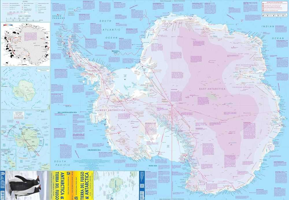
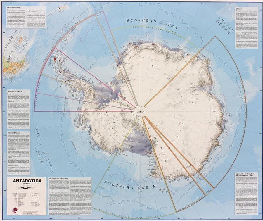
Related geographic locations and collections: Antarctica, The Poles