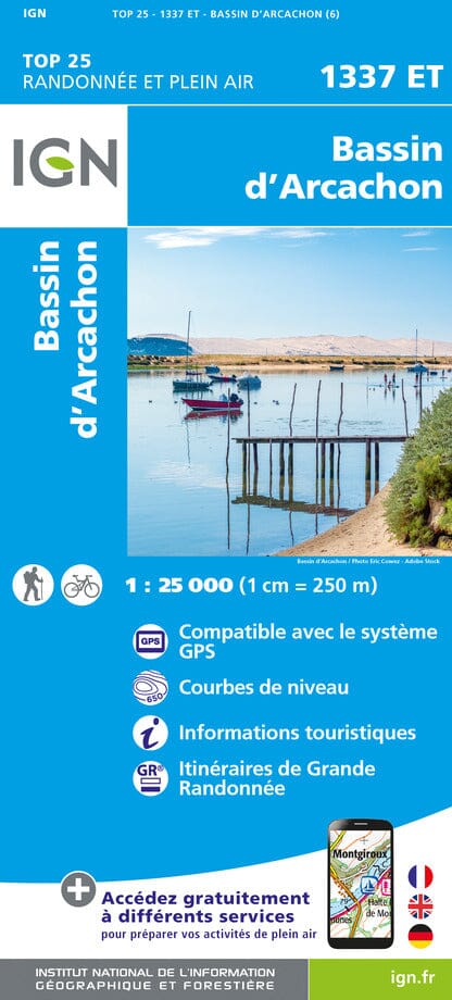
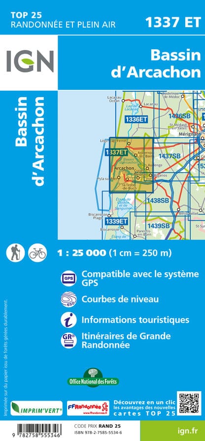
TOP 25 topographic map No. 1337ET of the Arcachon region published by IGN. Hiking map with contour lines spaced 10 meters apart and detailed legend (vegetation, rocks, watercourses, etc.).
Indication of hiking trails. Scale 1/25,000 (1 cm = 250 m).
Municipalities covered: Le Teich, Lège-Cap-Ferret, Arcachon, Arès, Gujan-Mestras, Andernos-les-Bains
Places to discover: Landes de Gascogne regional natural park, Médoc, Arcachon Basin, Porge Communal Forest, Lège et Garonne State Forest, Truc de la Truque, Bird Island, Cap Ferret, Dune du Pilat, Wooded Dunes, Pointe des Quinconces, Eyre Valley, Moorish Park, Teich Ornithological Park, Banc d'Arguin Nature Reserve, Cap-Ferret Lighthouse, Château Ruat, Hume Leisure Park, Domaine de Cadeau and Graveyron, Nature Reserve of the Salt Meadows of Arès and Lège-Cap-Ferret
ISBN/EAN : 9782758555346
Publication date: 2024
Scale: 1/25,000 (1cm=250m)
Printed sides: front
Folded dimensions: 23.6 x 11.2 x 0.5cm
Unfolded dimensions: 96 x 132cm
Language(s): French, English, German
Weight:
89 g


