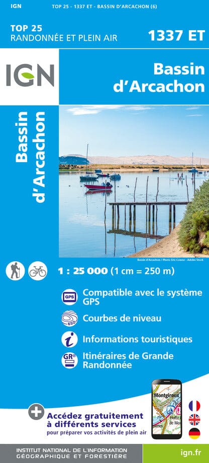
This is a laminated poster version of the IGN hiking map no. 1337 ET.
Please note that this map is laminated on demand, based on the original map which is folded. The folds remain a little visible.
The card is delivered rolled in a cardboard tube.
An additional delay of a few days is necessary for the production of the card.
As this product is custom made at the request of our customers, it cannot be returned to us.
Map information:
Indication of hiking trails. Scale 1/25,000 (1 cm = 250 m).
Municipalities covered: Le Teich, Lège-Cap-Ferret, Arcachon, Arès, Gujan-Mestras, Andernos-les-Bains
Places to discover: Landes de Gascogne Regional Natural Park, Médoc, Arcachon Bay, Porge Communal Forest, Lège et Garonne State Forest, Truc de la Truque, Bird Island, Cap Ferret, Pilat Dune, Wooded Dunes, Pointe des Quinconces, Eyre Valley, Moorish Park, Teich Ornithological Park, Banc d'Arguin Nature Reserve, Cap-Ferret Lighthouse, Château Ruat, Hume Leisure Park, Certes and Graveyron Estates, Arès and Lège-Cap-Ferret Salt Meadows Nature Reserve
ISBN / EAN : 9782758555346P
Date de publication : 2024
Echelle : 1/25,000 (1cm=250m)
Impression: front
Dimensions déplié(e) : 96 x 132cm
Langue : French, English, German
Poids :
300 g