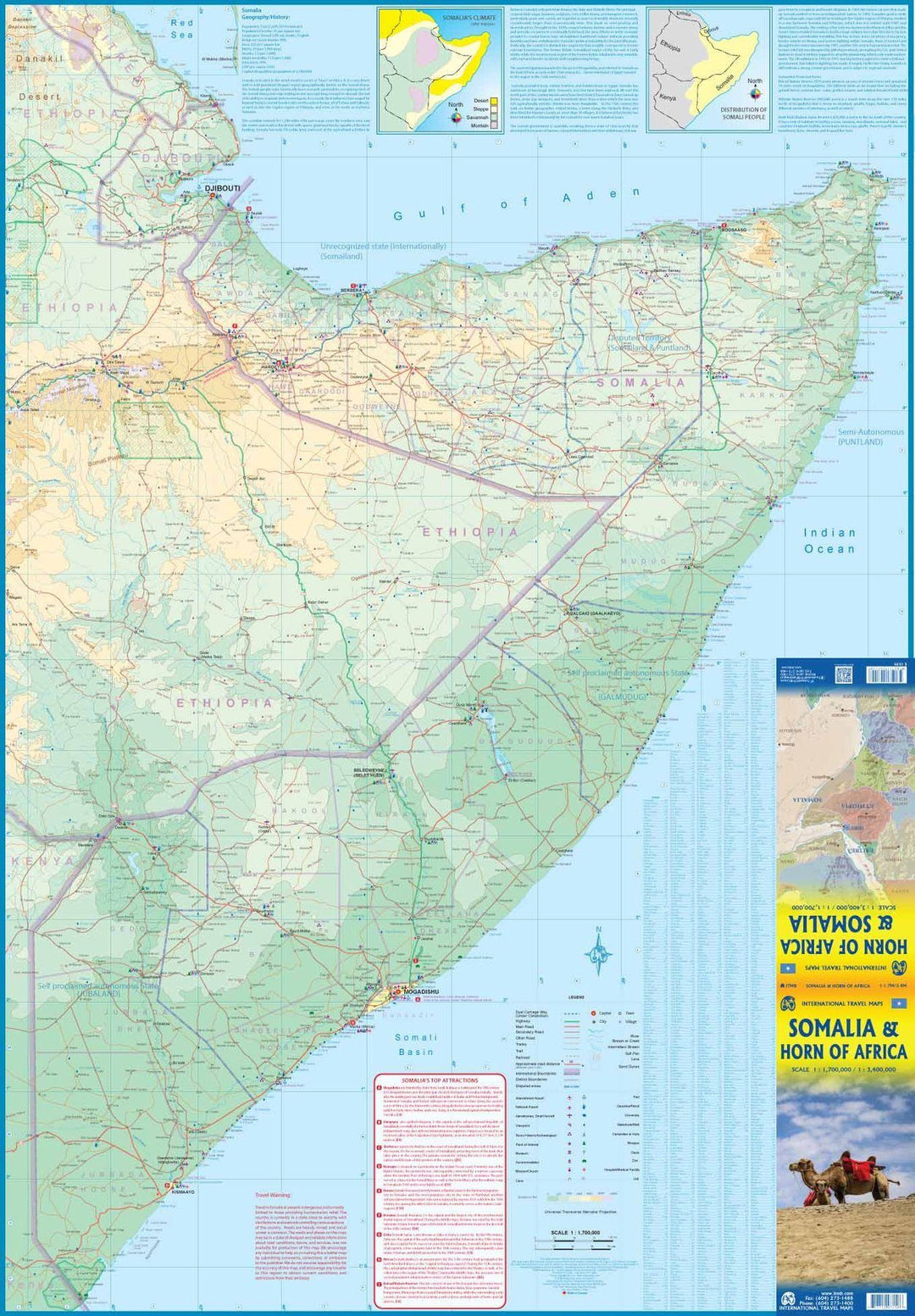
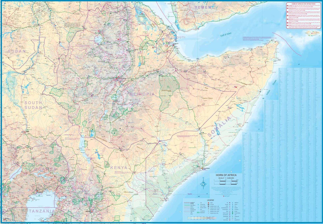
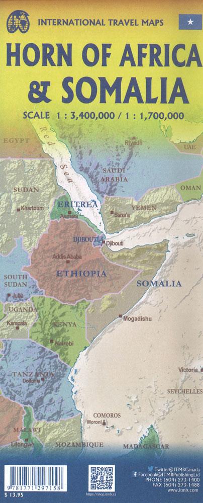
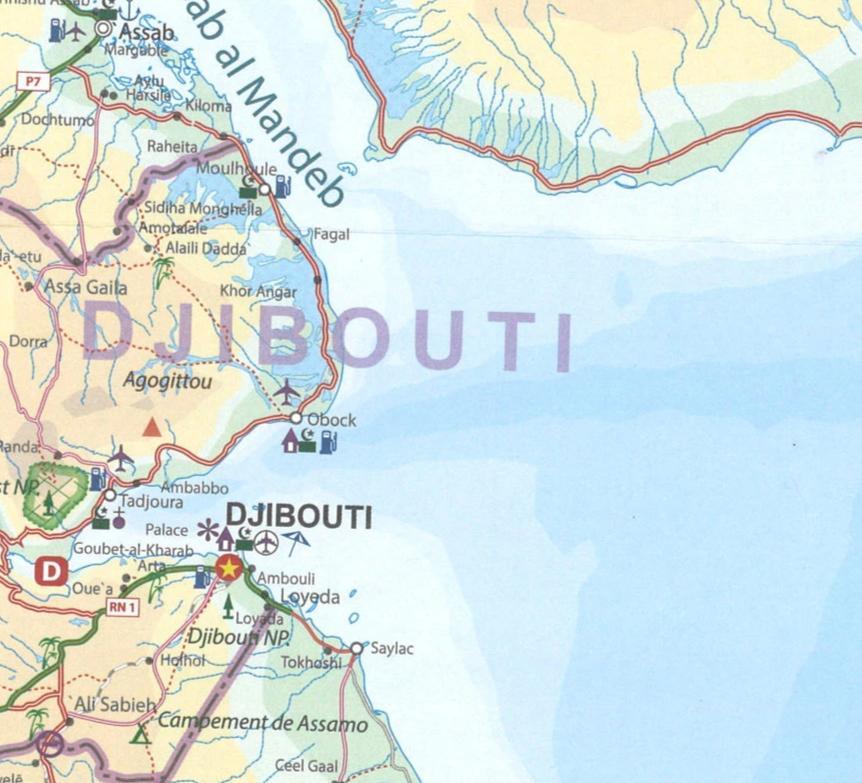
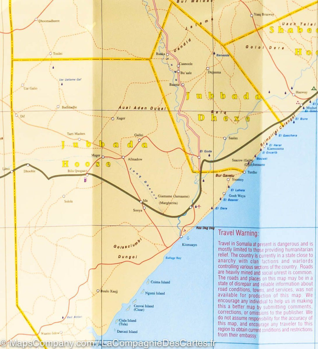
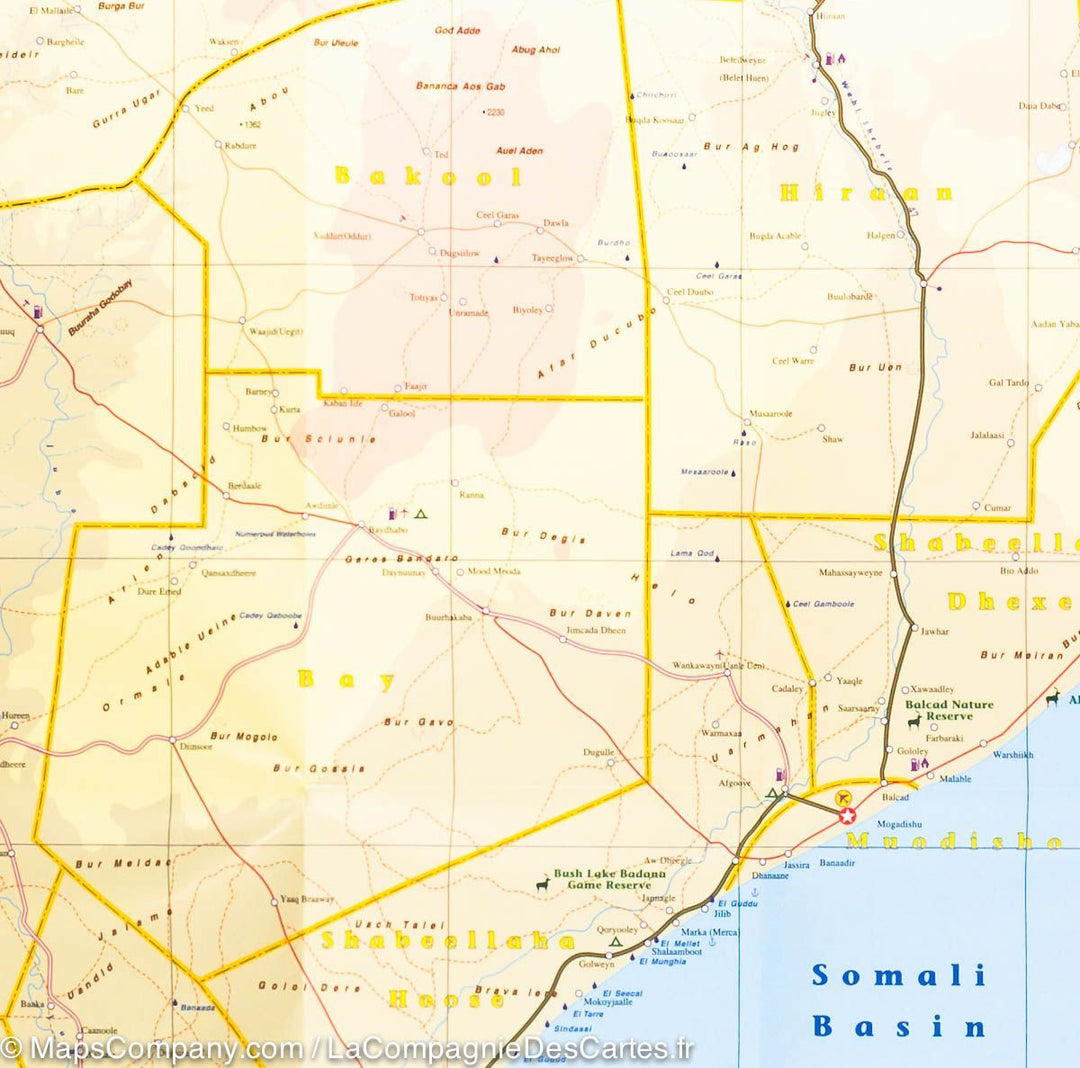
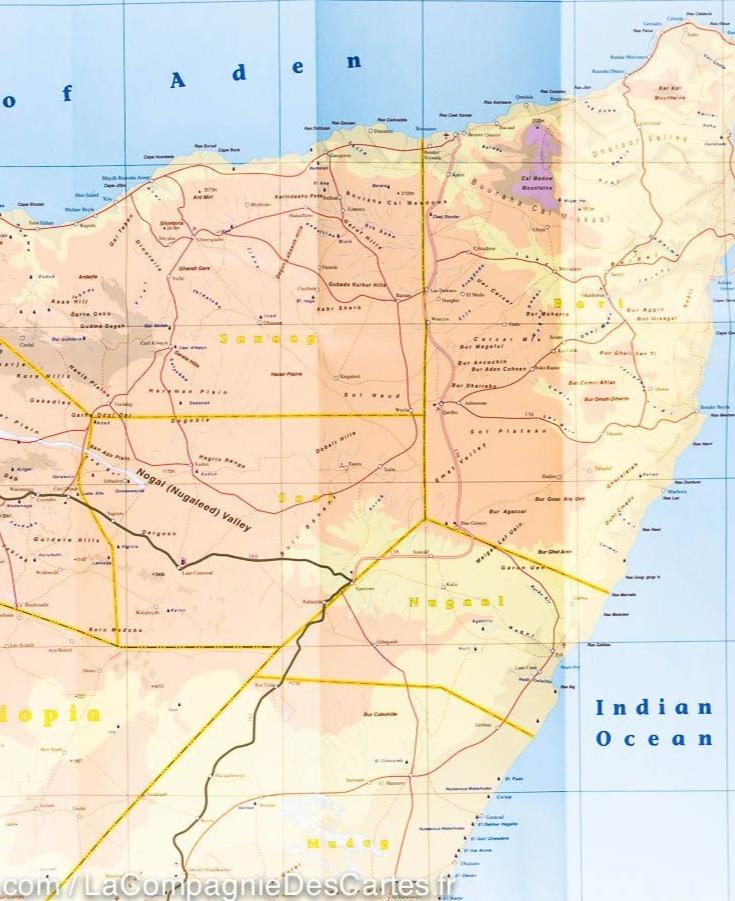
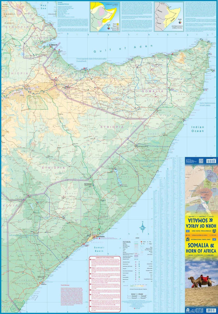
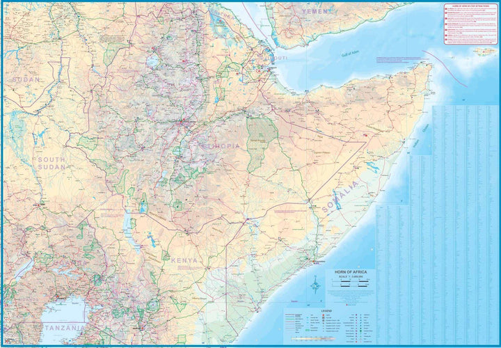
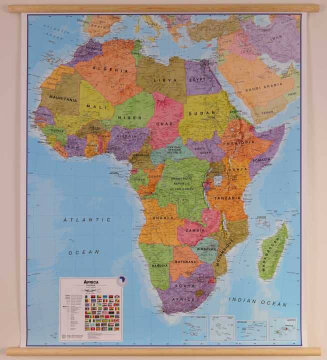
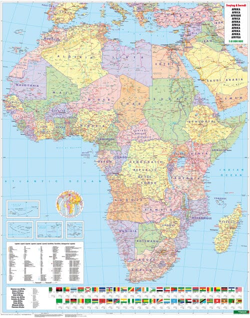
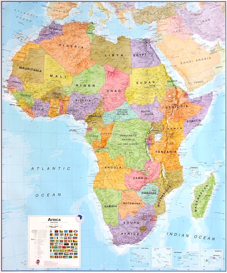
This is a version in laminated poster (double - sided print) of the Map of Somalia and Horn from Africa | ITM .
Note that this map is laminated on demand, based on the original map that is folded. The folds remain a little visible. The map is delivered rolled in a mapboard tube.
An additional time for manufacturing is to be expected (about a week).
This product being made customized at the request of our customers, it can not be returned to us.
Description of the map:
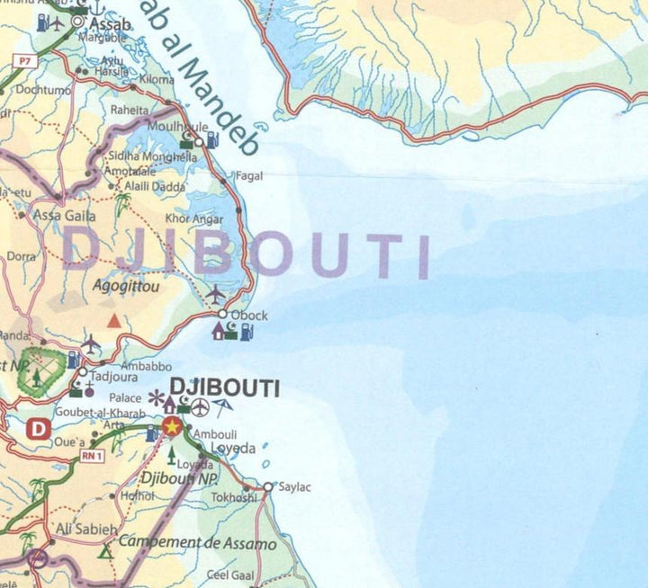
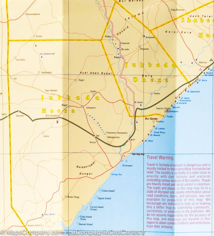
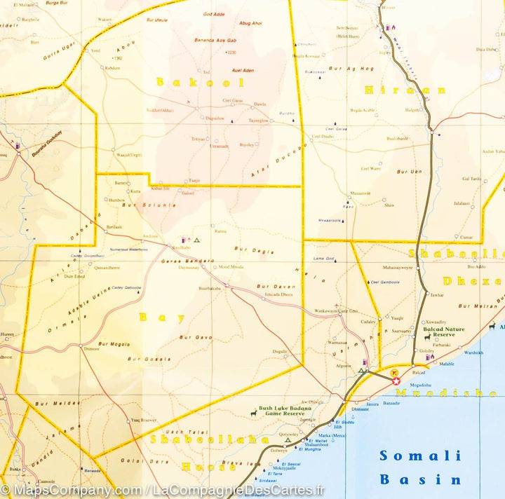
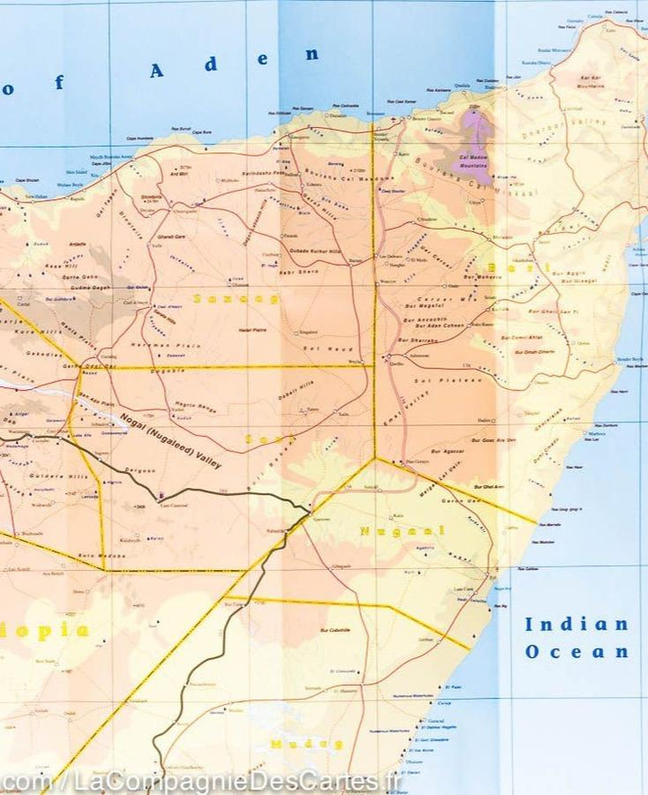
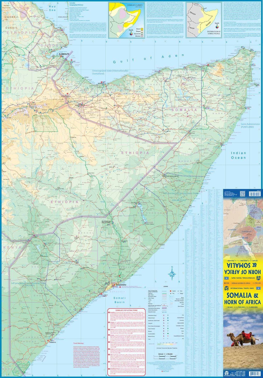
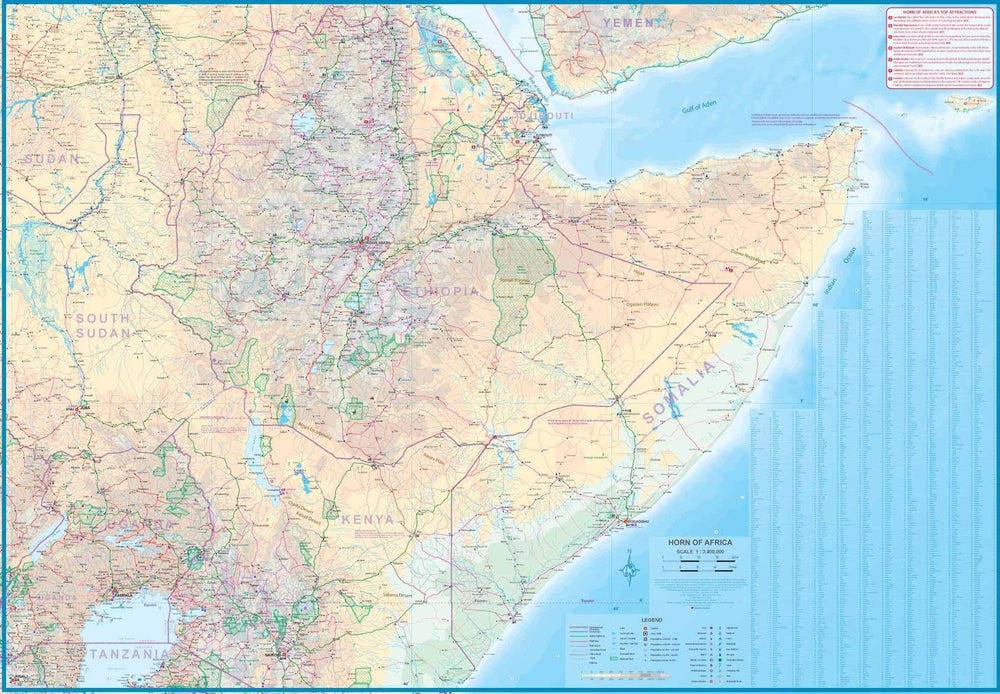
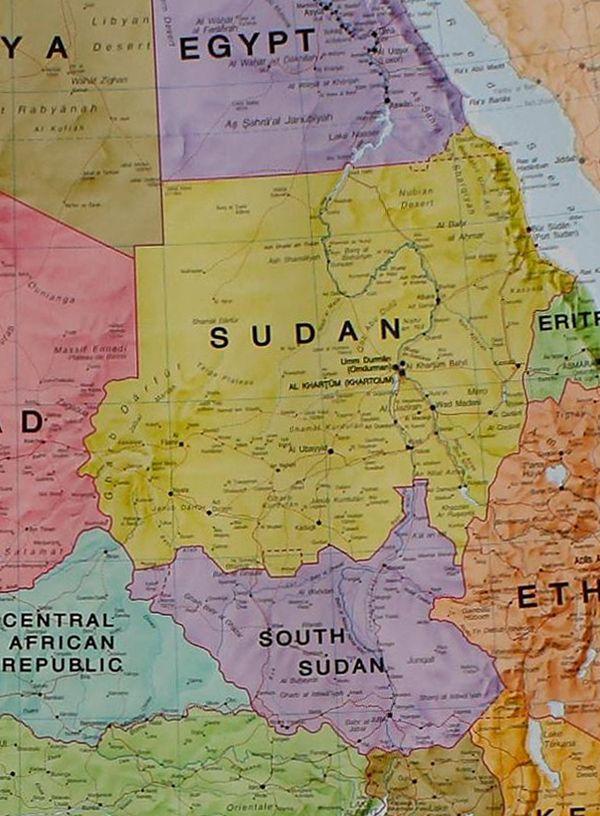
Map of Somalia and the Horn of Africa published by ITM . Mapping the relief, indication of nature reserves, points of interest, gas station, and cities index. The front cover covers mainly Somalia and the back presents a very interesting regional perspective of the zone between the northern border of Ethiopia, a small part of Sudan and a The reasonable part of the South Sudan, all Uganda, most of Kenya, all Djibouti, and a good part of Eritrea, as well as the former part of Temen of the Yemen torn by the war.
Socotra's strategic island is in the upper right corner.
ISBN / EAN : 9781771297158P
Date de publication : 2020
Echelle : 1/1,700,000 (1cm=17km) & 1/3,400,000 (1cm=34km)
Impression: both sides
Dimensions déplié(e) : 100 x 69cm
Langue : English
Poids :
300 g


