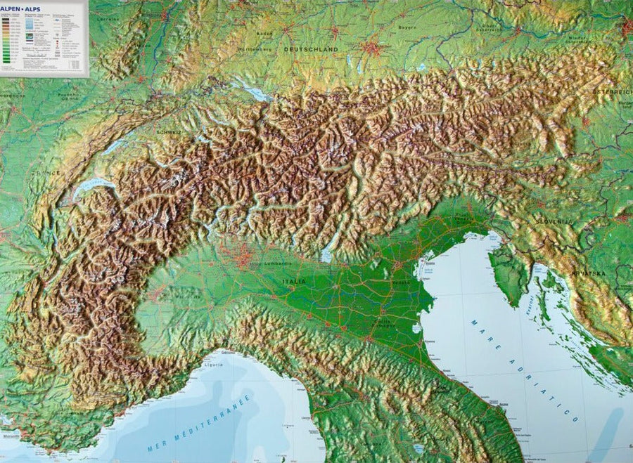
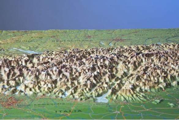
This Alpine road map is designed to accompany motorized travelers through the spectacular roads of the Alpine region. Whether you're traveling by car, motorcycle, or campervan, it allows you to easily plan your trips and stops in the Alps.
The road network is accurately represented, including minor roads, distances in kilometers and numerous tourist sites and excursion destinations . It is ideal for discovering the Alpine landscapes while remaining well oriented.
Main features:
-
Scale 1:500,000: perfect balance between coverage and readability
-
Integrated tourist information
-
Campsites marked to facilitate outdoor stops
-
Digital index of localities with postal codes (digital file included)
-
Size approximately 137.5 x 96 cm, printed on both sides for extended coverage
An essential map for planning a road trip in the Alps, crossing several countries while enjoying the most Coffee table panoramas.
ISBN/EAN : 9783707924008
Publication date: 2025
Scale: 1/500,000 (1cm=5km)
Printed sides: both sides
Folded dimensions: 25.6 x 13 x 0.8cm
Unfolded dimensions: 138 x 96cm
Language(s): French, English, German, Italian
Weight:
138 g