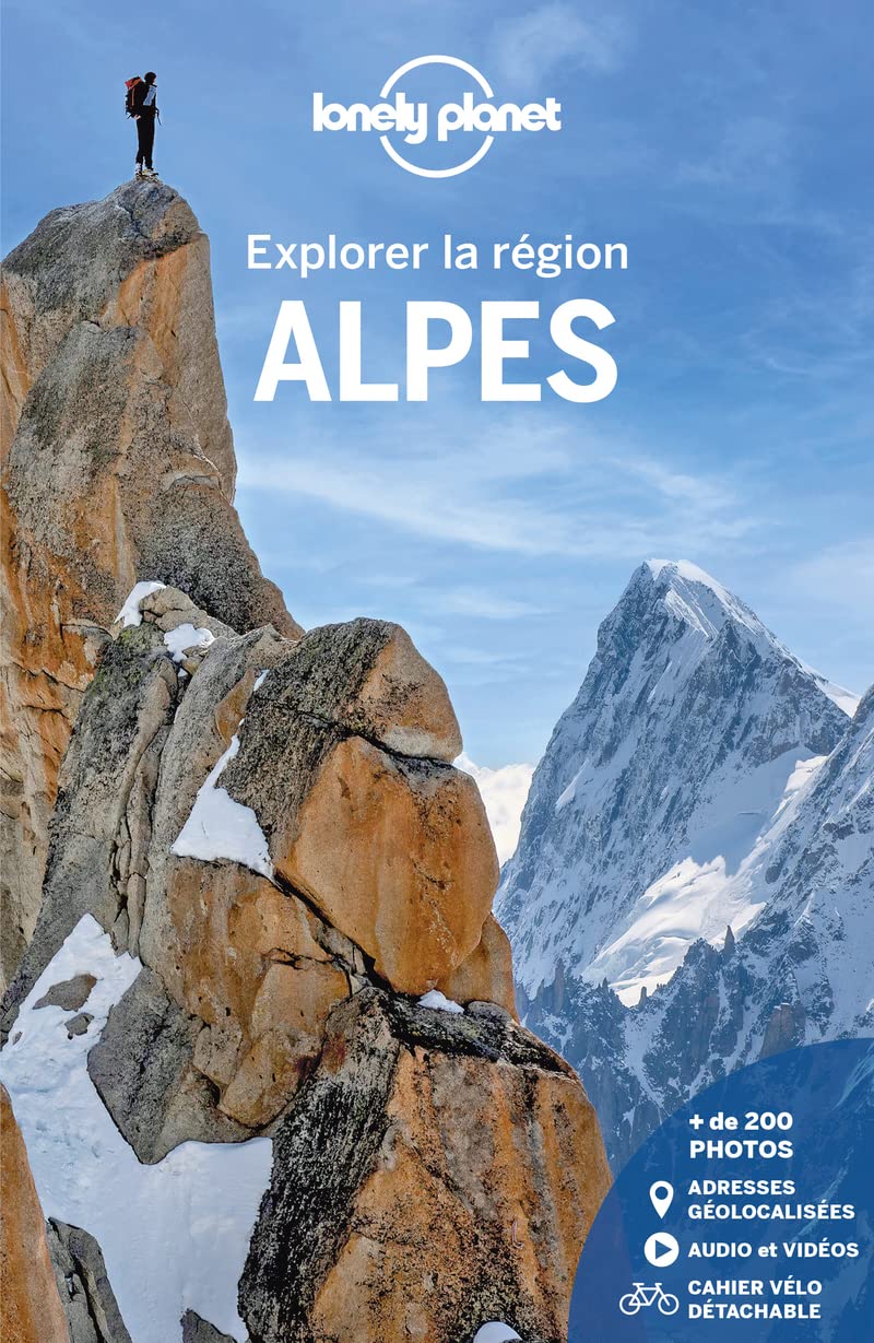
A 100% field-tested Lonely Planet guide, packed with local secrets, to discover the best of the French Alps.
The only guide that covers the entire French Alps, from Haute-Savoie to Provence.
A revamped layout for ever more inspiring travel guides!
10 suggested car-free itineraries, from a long weekend to 15 days.
Videos to play on your smartphone to get a taste of the region's most beautiful sites.
A detachable notebook with two routes to discover the Alps by bike: one at low altitude between lakes and pre-Alps; the other in the high mountains on the routes taken by the Tour de France.
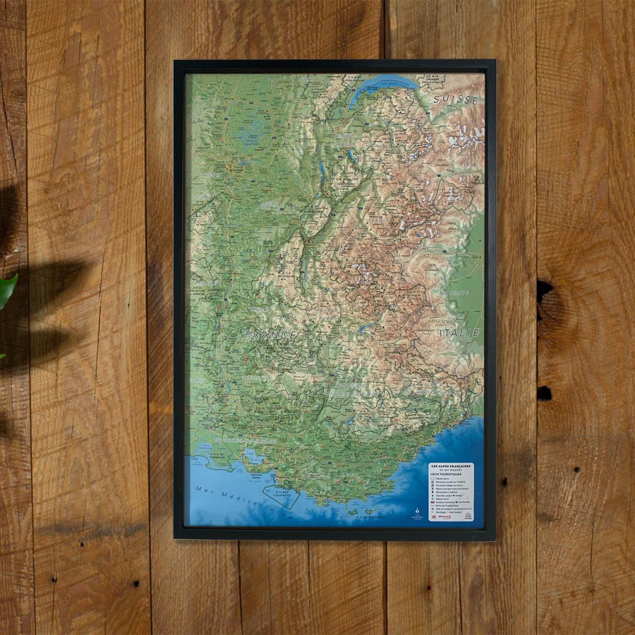
Coverage of the entire Alps: Haute-Savoie, Savoie, Isère and the part of the Vercors located in the Drôme, the Hautes-Alpes, the Provençal and Maritime Alps (Digne, Sisteron and the Ubaye Valley in the Alpes de Haute Provence; the Mercantour Park in the Alpes-Maritimes).
All the most beautiful natural sites: the glaciers of Mont-Blanc, the Vanoise National Park, the Chartreuse massif, the Vallée des Merveilles, the Meije Glacier, the Queyras Natural Park...
The Alpine lakes, ideal for daydreaming, relaxing or water sports: Lake Geneva, Lake Bourget, Lake Annecy, Lake Serre-Ponçon, Lake Aiguebelette... and countless high-altitude lakes!
All the resorts where you can enjoy the mountains in summer and winter: Trois-Vallées, Tignes-Val-d'Isère, Alpe-d'Huez, Deux-Alpes, Villard de Lans, Serre-Chevallier, Avoriaz, La Clusaz, etc.
Historic towns – Grenoble, Annecy, Chambéry, Chamonix, Briançon, Embrun... – and characterful villages – Saint-Véran, Bonneval-sur-Arc, Hauteluce...
A complete chapter on outdoor activities: hiking, canyoning, cycling, etc.
And now, for all the guides in the Explore the Region collection, the geolocation of the entire collection websites and addresses.
