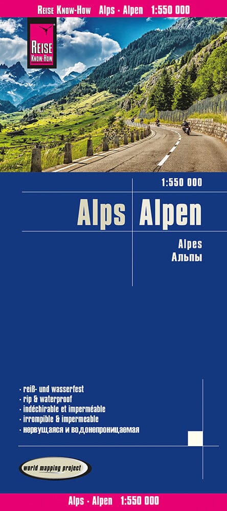
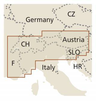
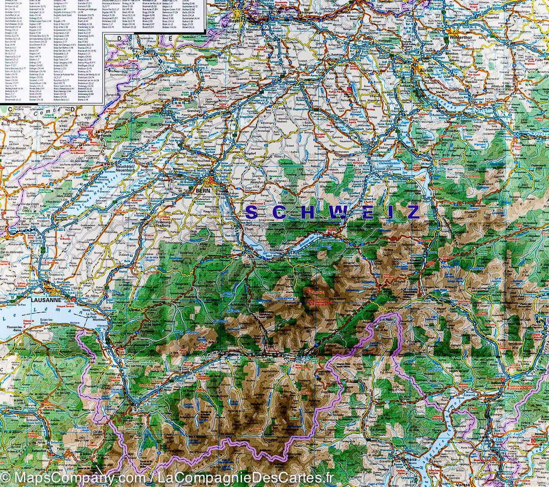
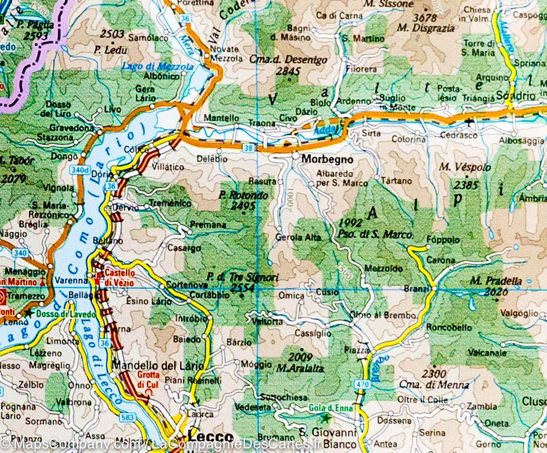
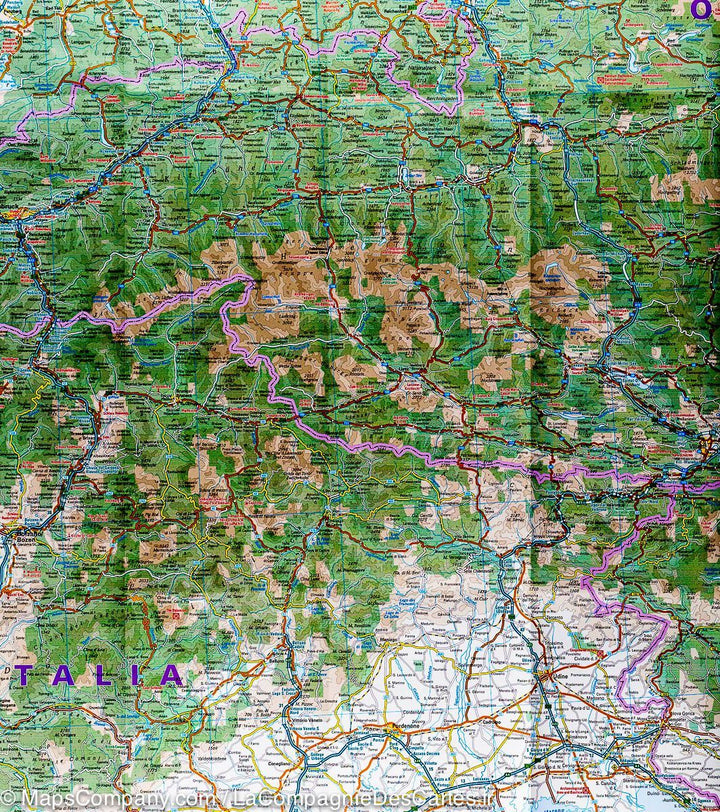
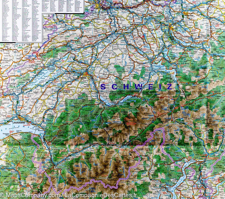
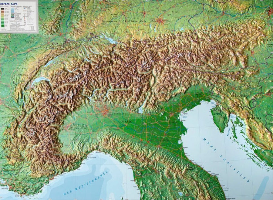
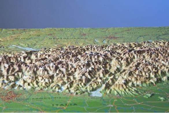
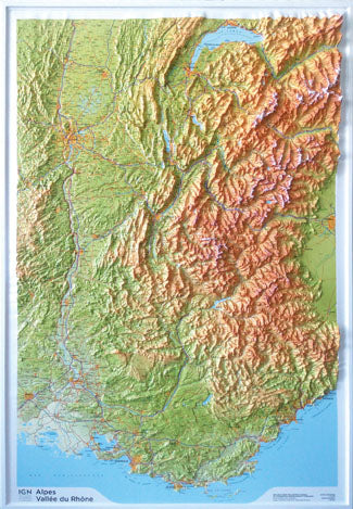
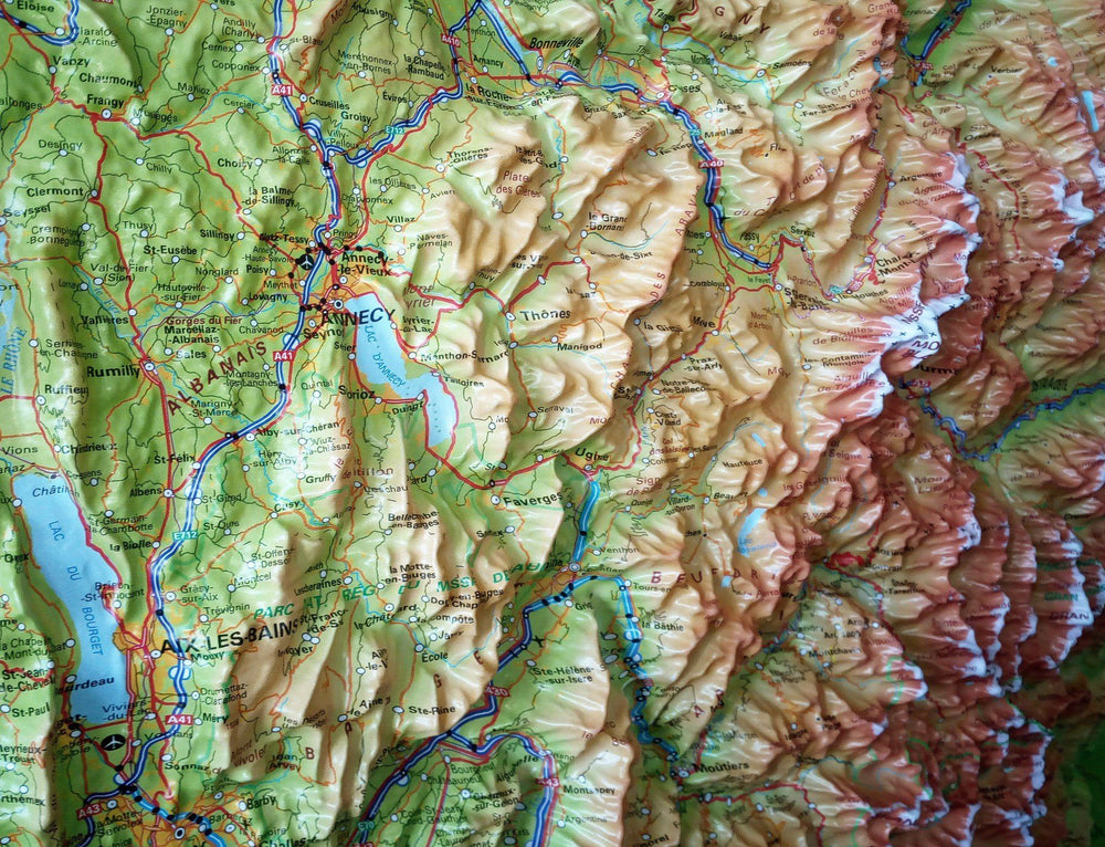
Road map of the Alps published by Reise Know How. On the western half of the map, the coverage extends from western Grenoble and south of Lake Constance to coast Azur, the eastern half ranges from North Munich to Milan (Lake Garda). And includes a large part of Austria with Vienna, Linz and Graz and a large part of Slovenia.
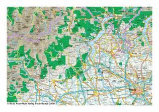
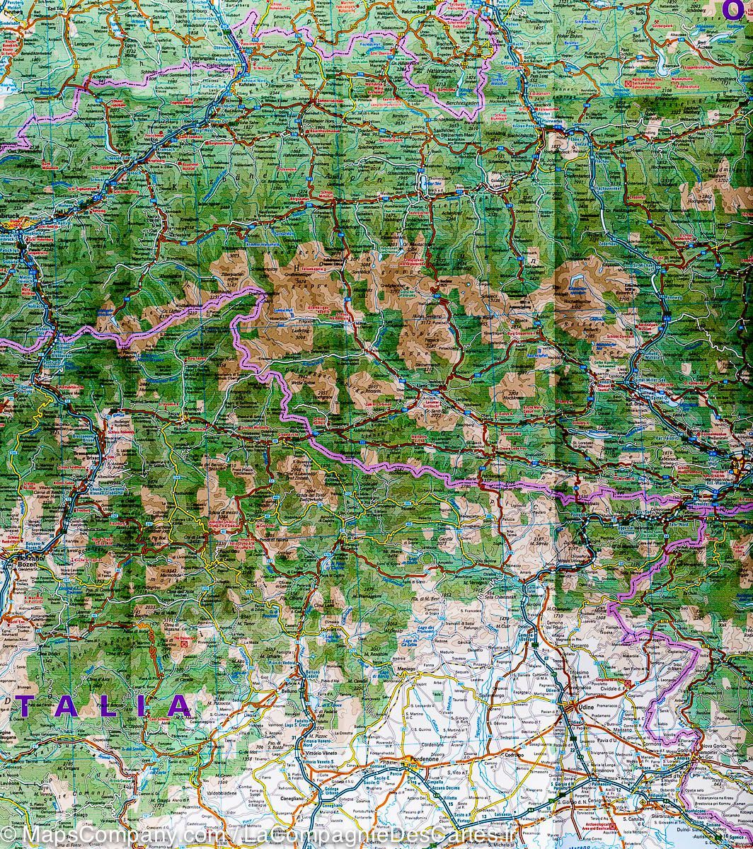
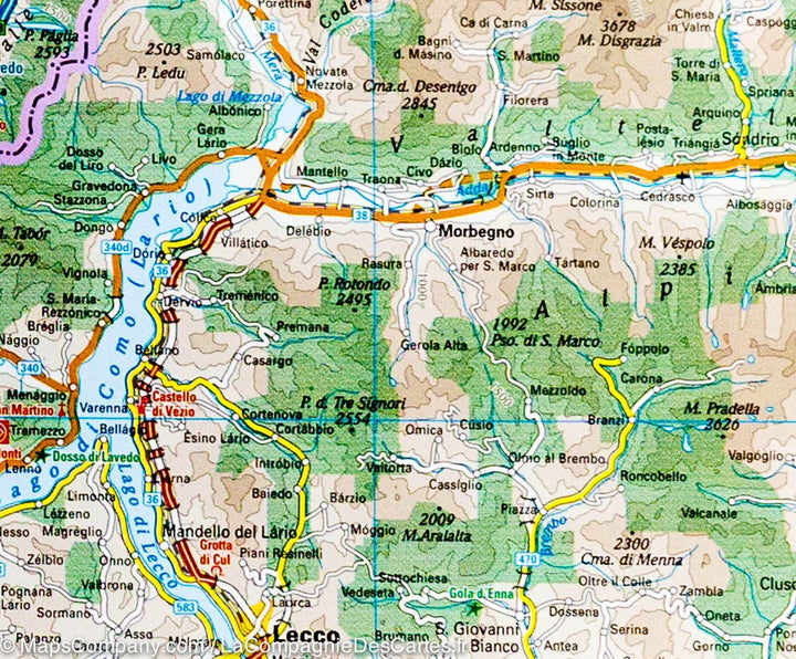
Mapping of the relief indicated by the coloring of the altitude, the names of the mountains (with their altitude), valleys etc ... The road network is clearly presented with the road numbers, the motorway junctions in Germany, in Austria, France and Switzerland and distances on the main roads. Indication of rail lines, various points of interest, including UNESCO World Heritage sites, castles, etc ... cities index.
This detailed map of the Alps is indich and waterproof.
1/550 000 scale (1 cm = 5.5 km).
ISBN/EAN : 9783831774005
Publication date: 2022
Scale: 1/550,000 (1cm=5.5km)
Printed sides: both sides
Folded dimensions: 26 x 11.5 x 0.8cm
Unfolded dimensions: 100x70cm
Language(s): French, German, English, Spanish, Russian
Weight:
80 g


