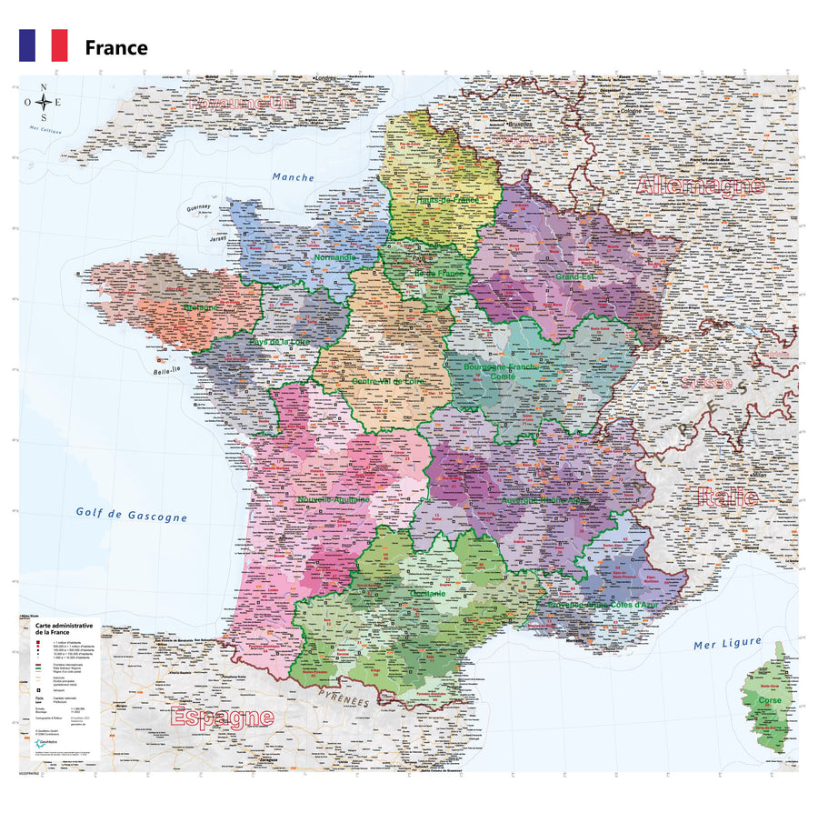
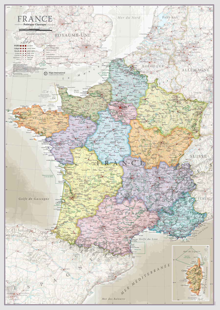
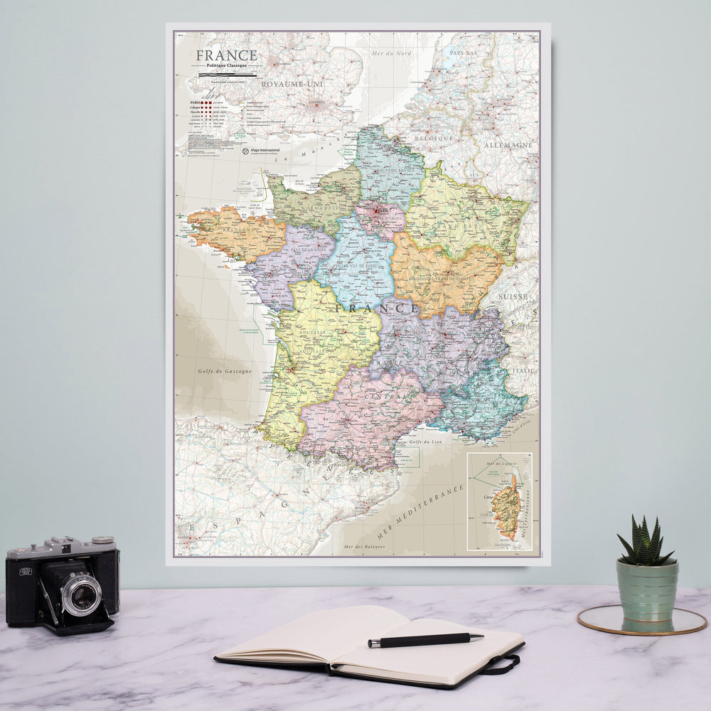
Regional Map No. 11: New South Aquitaine - WALL AND LAMINATED VERSION | IGN
Regular price
$91.00
Regular price
Sale price
$91.00
Save $-91
/
- Custom-made product - Shipping to mainland France, Belgium, Germany, Luxembourg, and the Netherlands within 7 to 10 working days from our workshop. Other regions: contact us
- Delivery costs calculated instantly in the basket
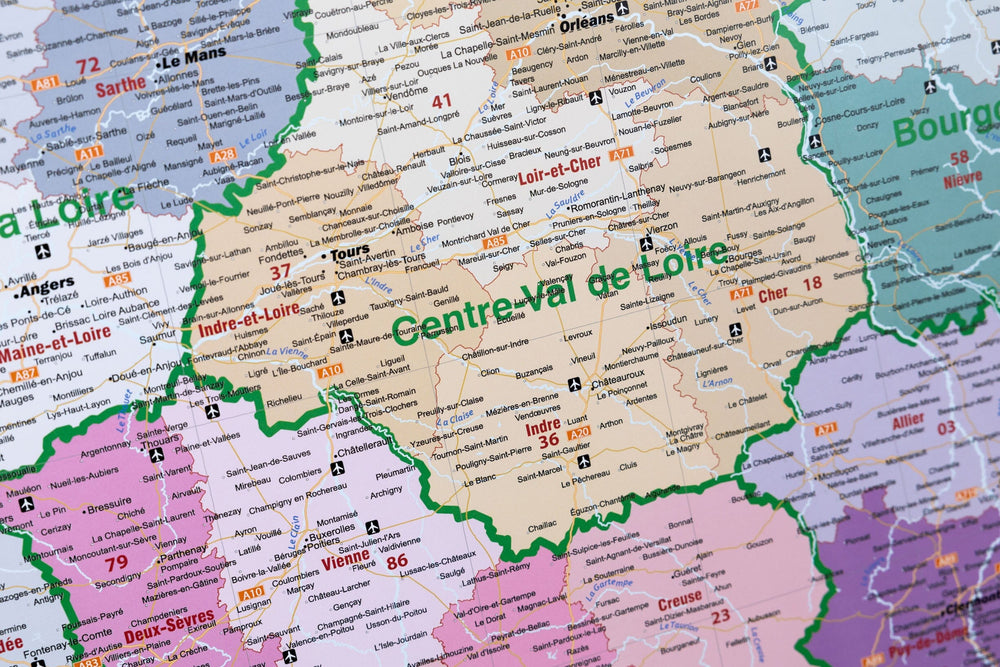
Related geographic locations and collections: IGN TOP 250 France - Regional maps (scale 1/250,000), Nouvelle-Aquitaine, Wall Maps