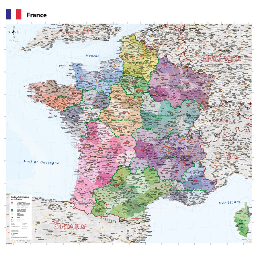
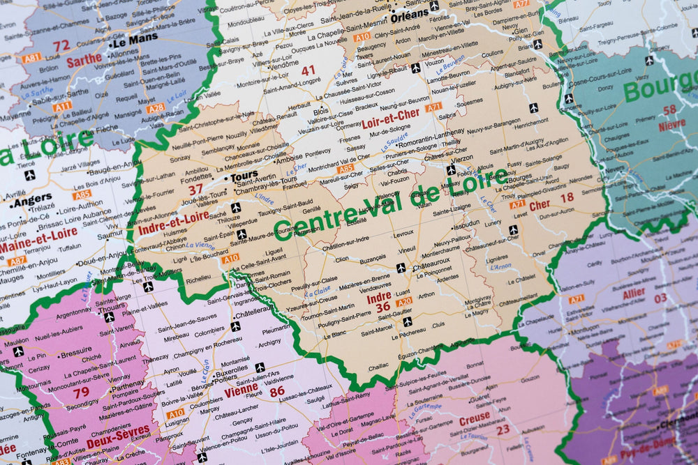
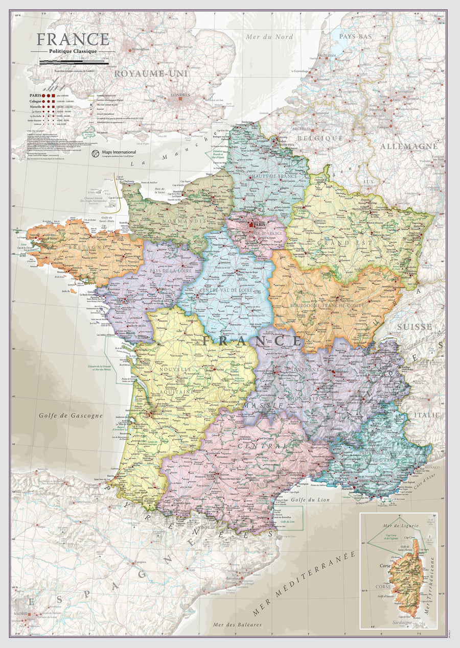
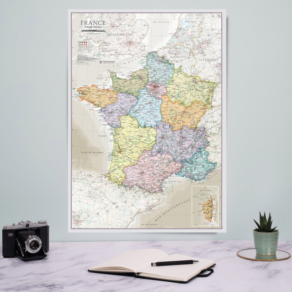
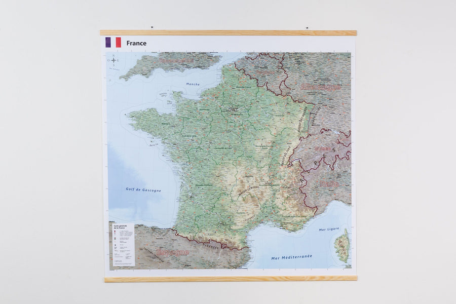
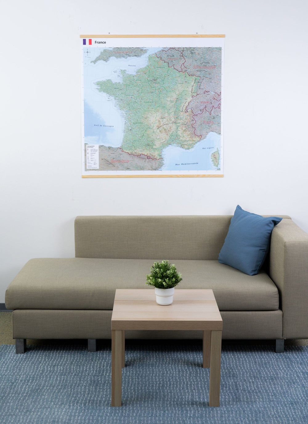
Laminated wall map - Administrative France (90 x 96 cm) | Blay Foldex
Regular price
$107.00
Regular price
Sale price
$107.00
Save $-107
/
- Print-on-demand product - Shipping to France only (from August 25)
- Delivery costs calculated instantly in the basket
Related geographic locations and collections: France Wall Maps, New products