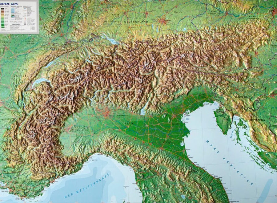
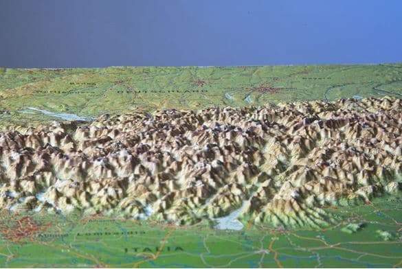
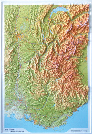
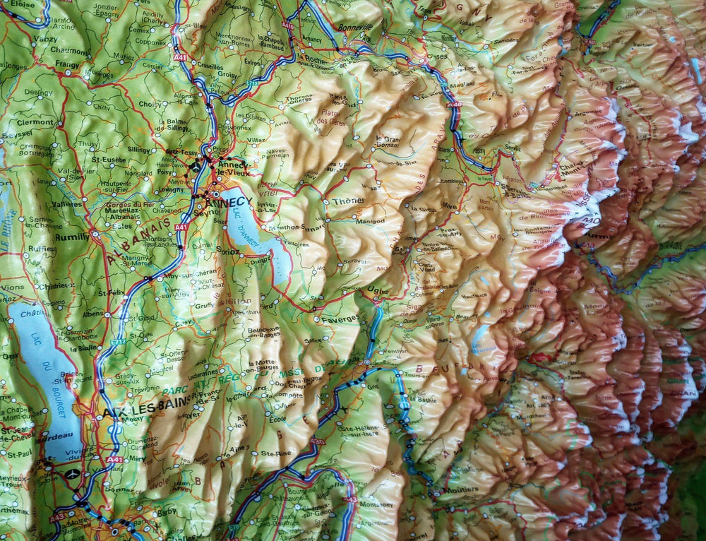
Crossing the Alps by bike is becoming increasingly accessible thanks to the rise of developed cycle paths , electric bikes and gravel bikes . This hand-drawn panoramic map pays tribute to this unique spirit of adventure.
🏔️ Card contents:
-
Illustrated panoramic view of the Alps , showing relief, distances and major landscapes
-
10 iconic Alpine crossing routes (Transalp)
-
10 major Alpine passes you can't miss
-
Detailed descriptions on the back for each route and each pass
-
Classic routes such as the Alpe-Adria-Radweg , but also new, original suggestions
✏️ Use:
-
Writable map: you can note , trace or mark the routes you have already taken
-
Ideal as a planning tool or decorative wall keepsake
-
Allows you to better understand the distances and topography of an Alpine crossing
ISBN/EAN : 9783991544845
Publication date: 2025
Scale: 1/2,000,000 (1cm = 20km)
Printed sides: both sides
Folded dimensions: 11 x 19cm
Language(s): German
Weight:
83 g


