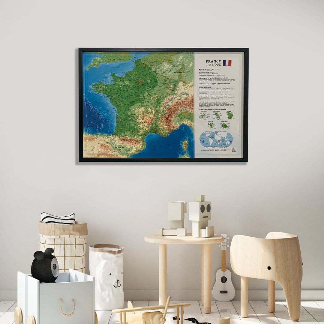
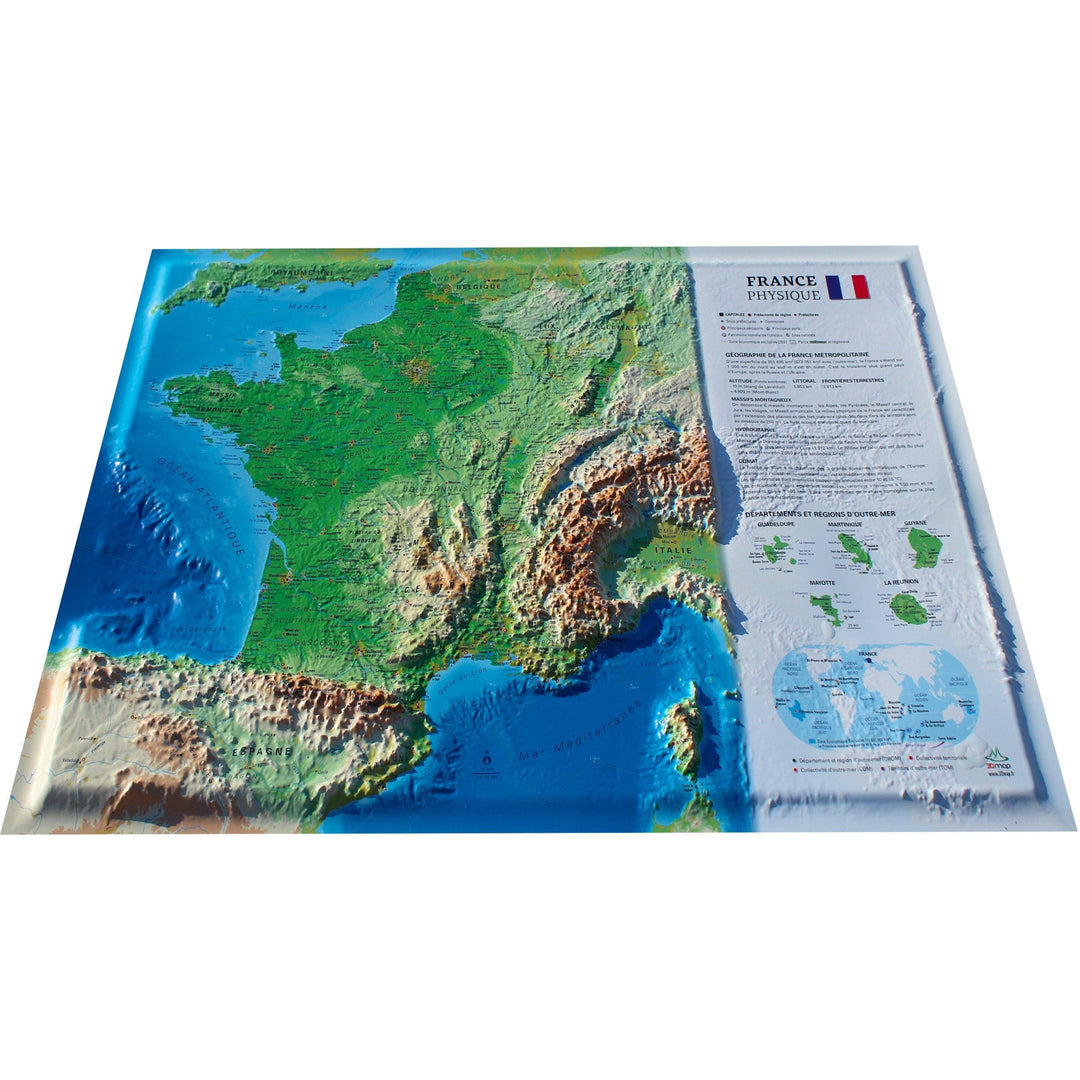
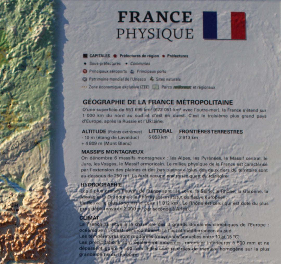
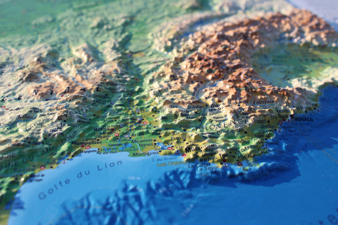
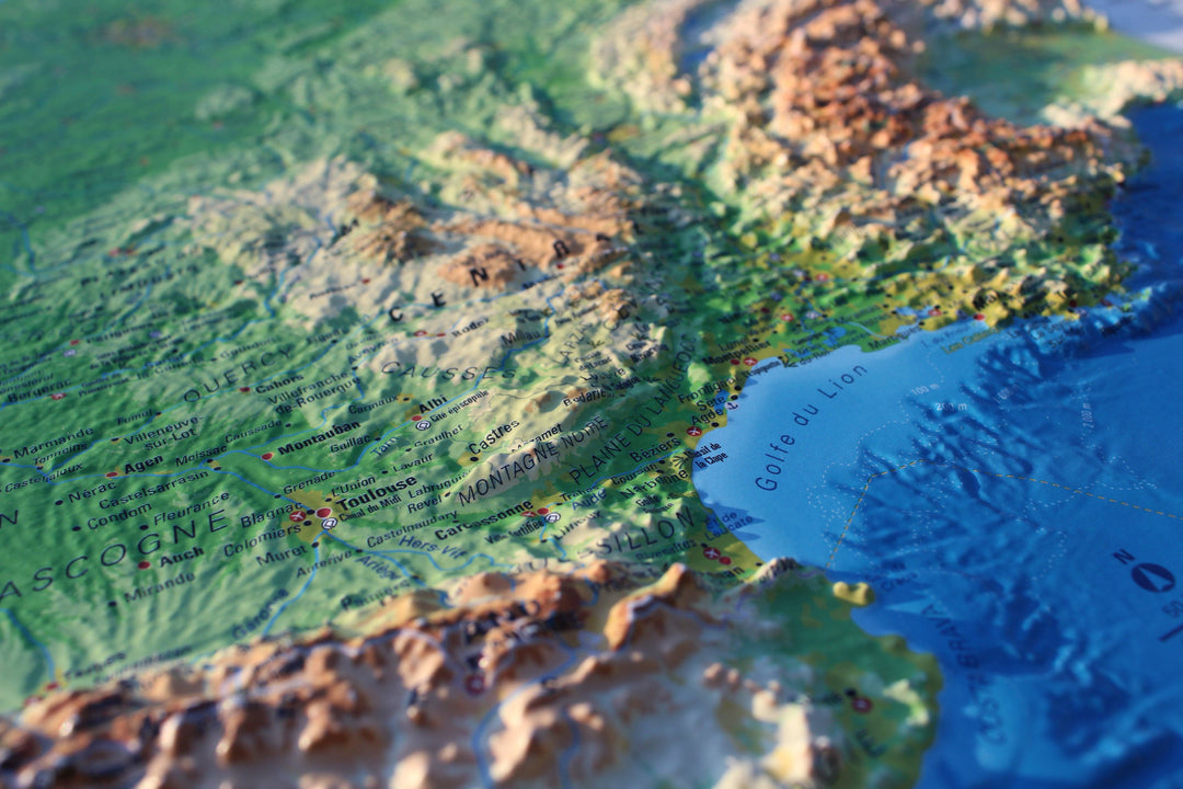
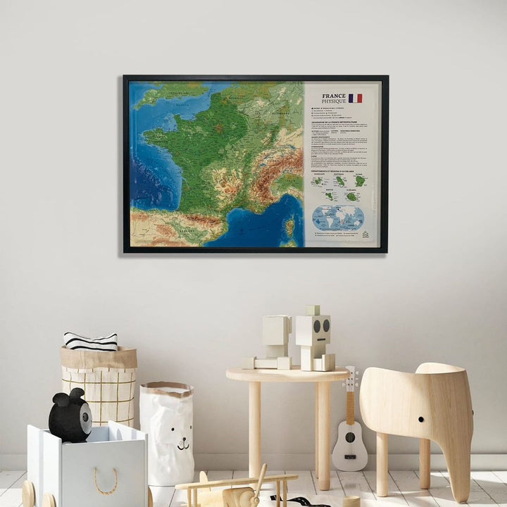
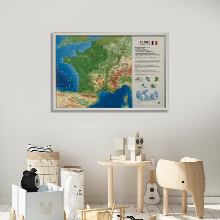
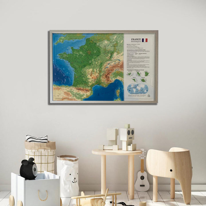
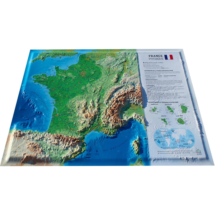
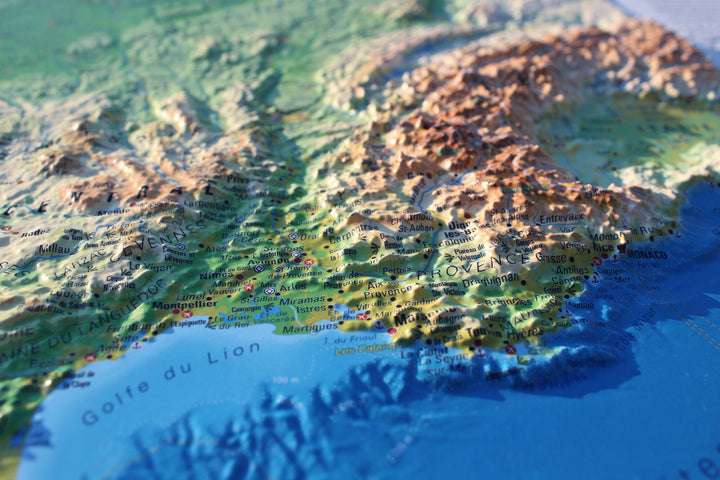
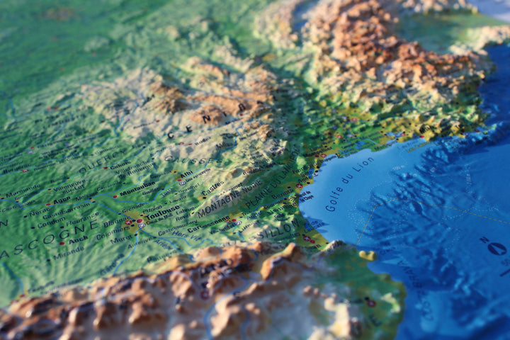
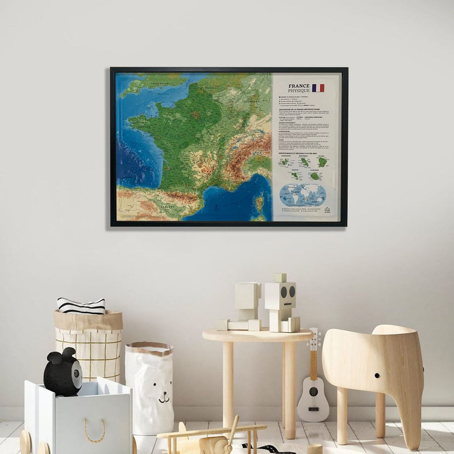
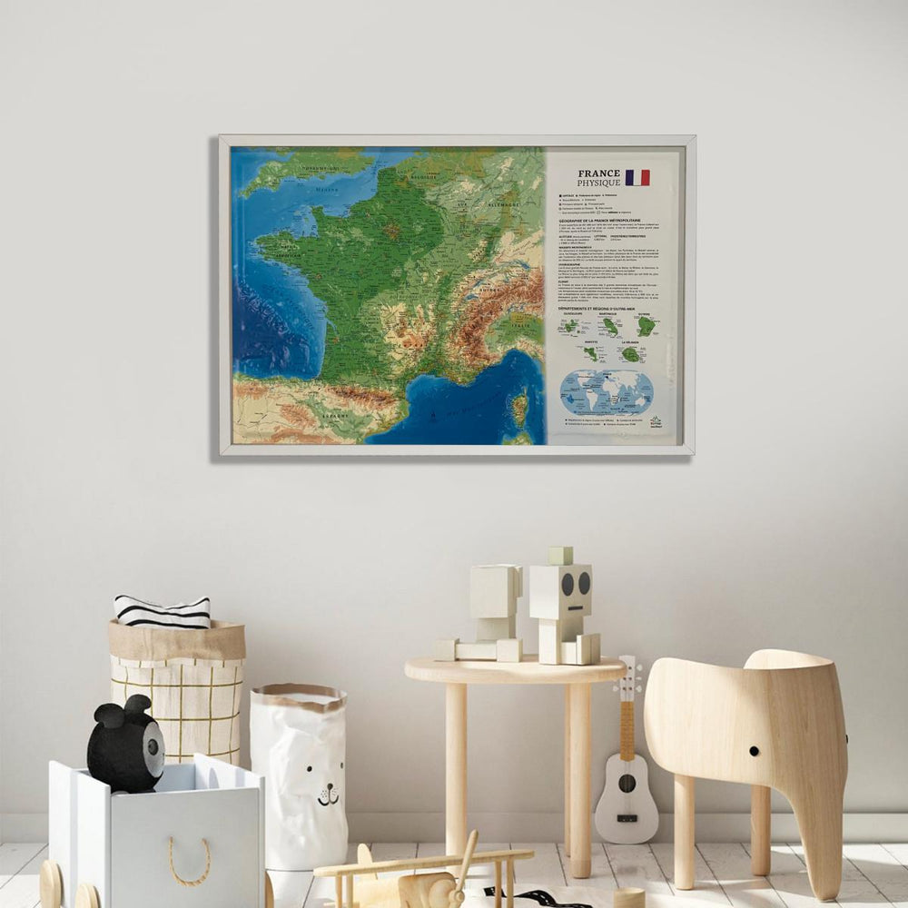
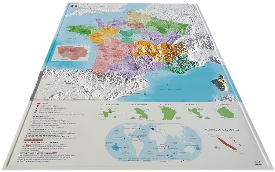
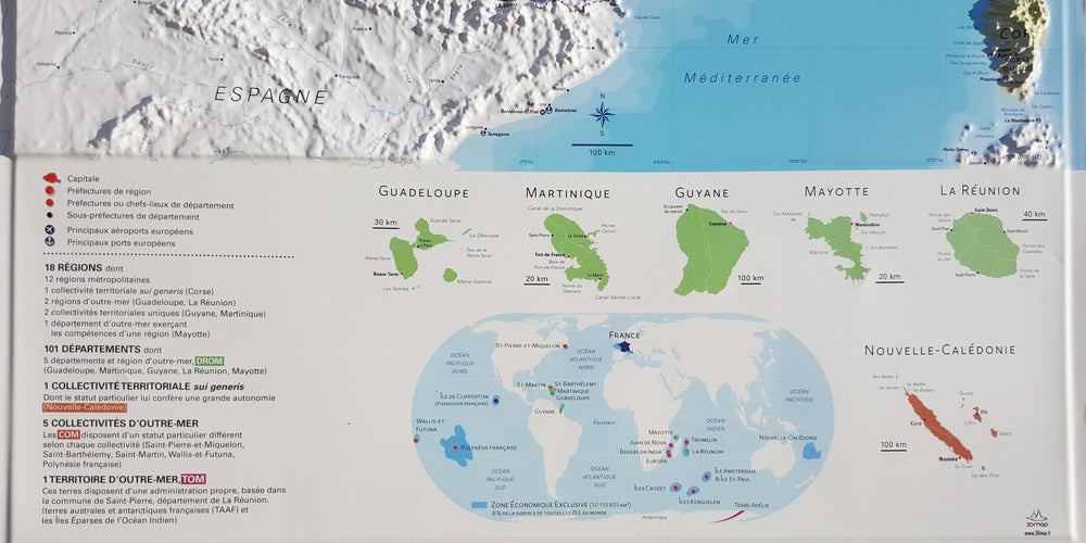
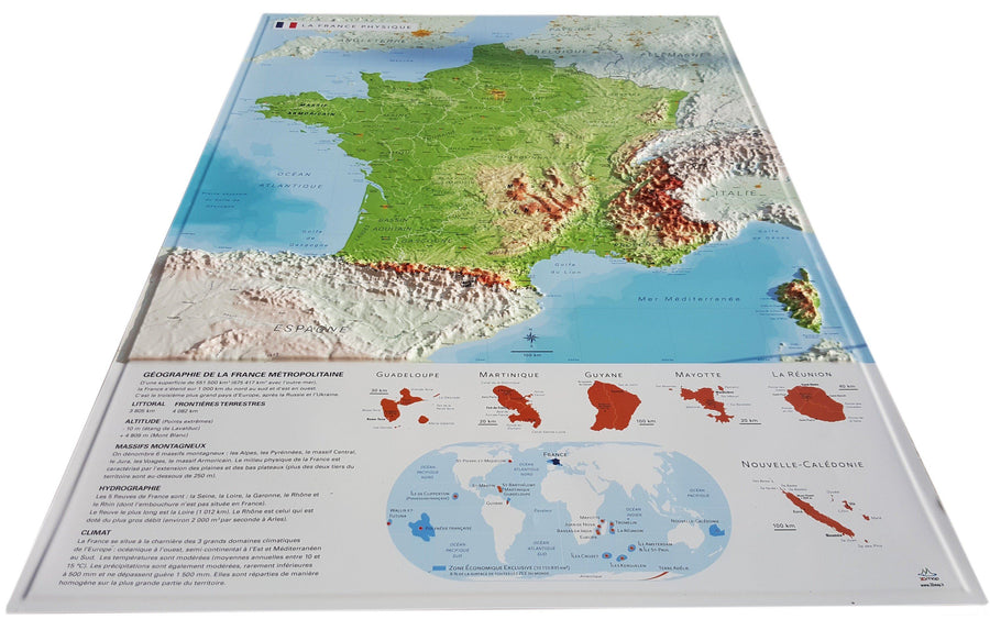
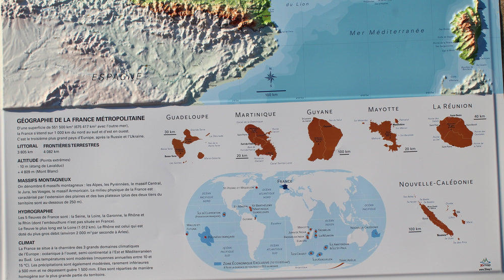
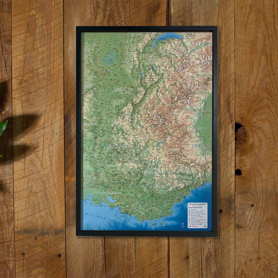
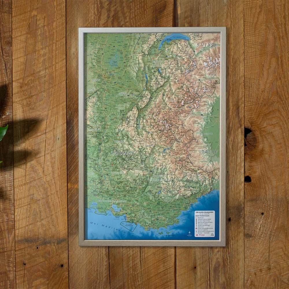
Relief wall map of physical France and its marine depths.
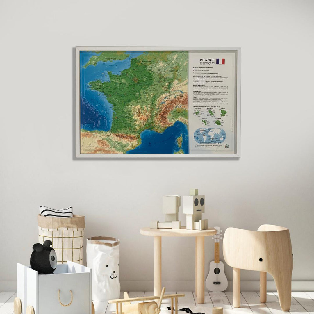
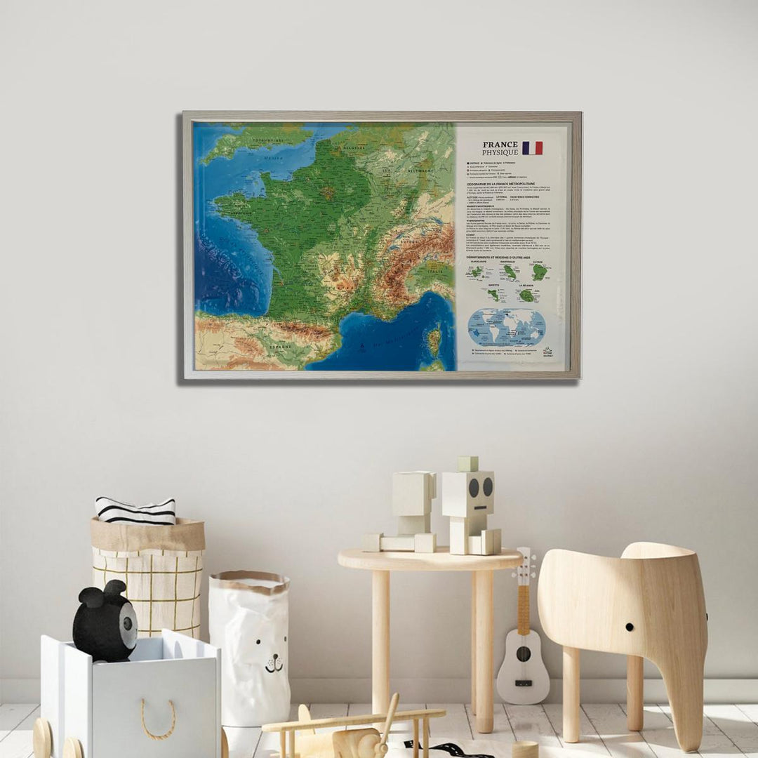
A finishing frame is also available as an option: We highly recommend it to make hanging easier and to enhance the appearance of your map.
Information included on the map:
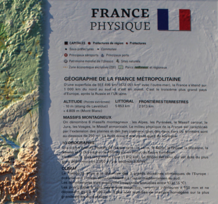
Legend:
• New! : Marine Funds
• Large geographic sets (massifs, basins, trays, cultural and historical regions)
• Major summits, rivers, departments, prefectures, national and regional parks
• Sub - prefectures, overseas communities and territories, a mini Map World
• A hydrological, climatological and geographical explanatory of France
• Scale 1: 2 725 000
• 61 cm x 41 cm
ISBN / EAN : 9791097206109
Date de publication : 2018
Echelle : 1/2 725 000 (1 cm = 27.25 km)
Dimensions déplié(e) : 61cm x 41cm
Langue : French
Poids :
136 g


