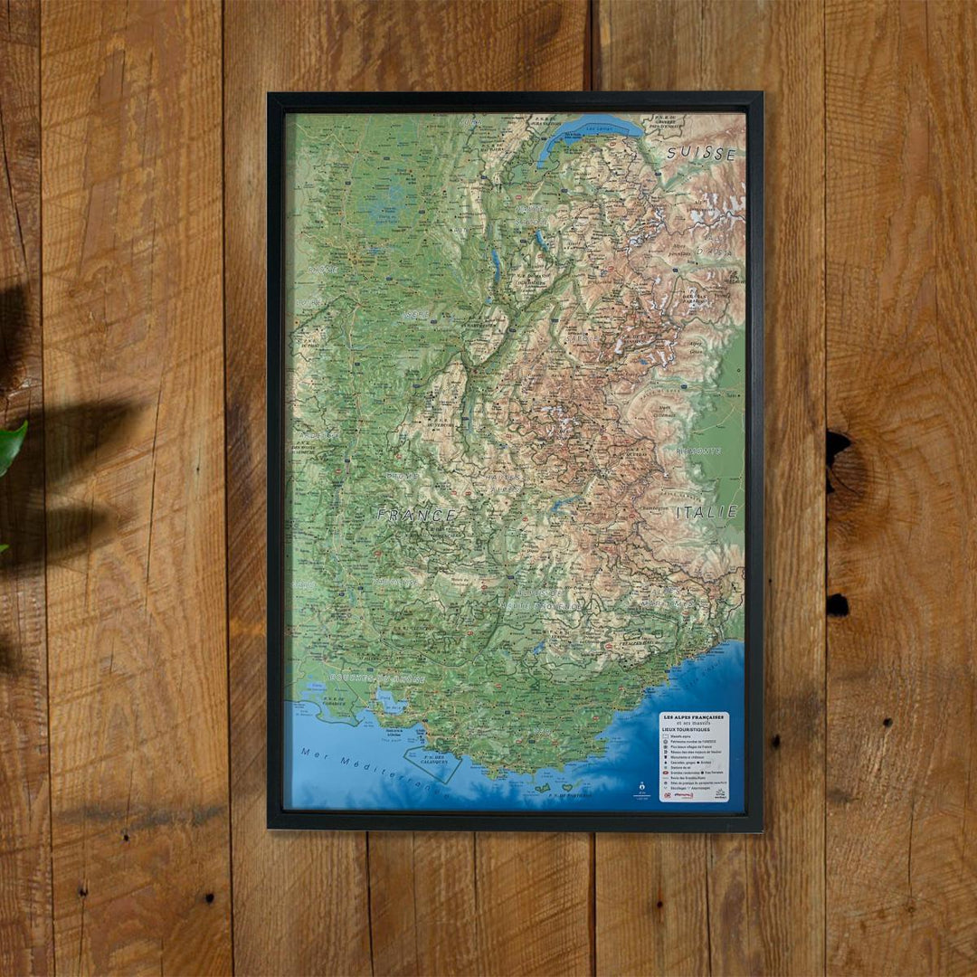
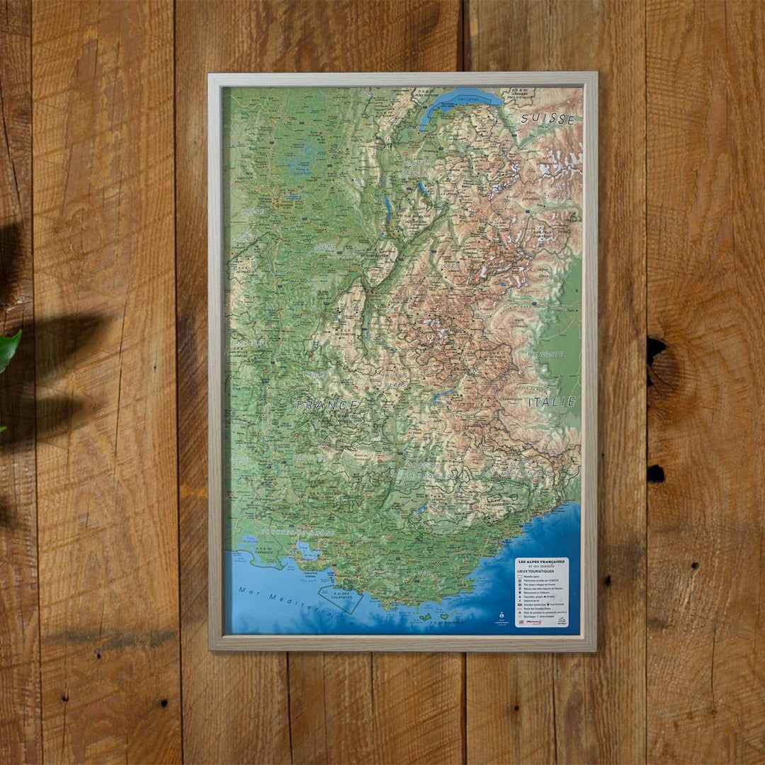
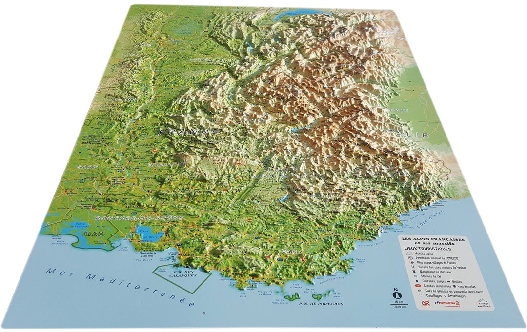
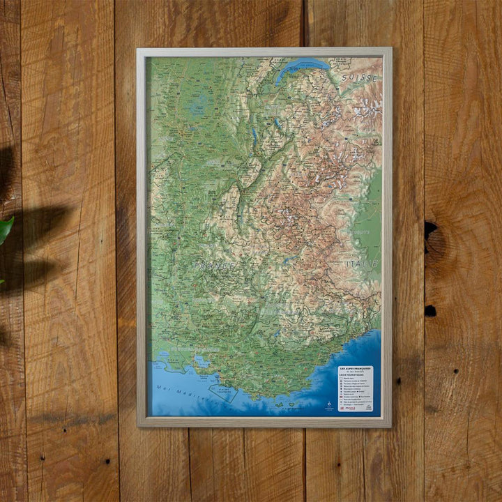
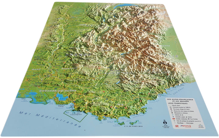
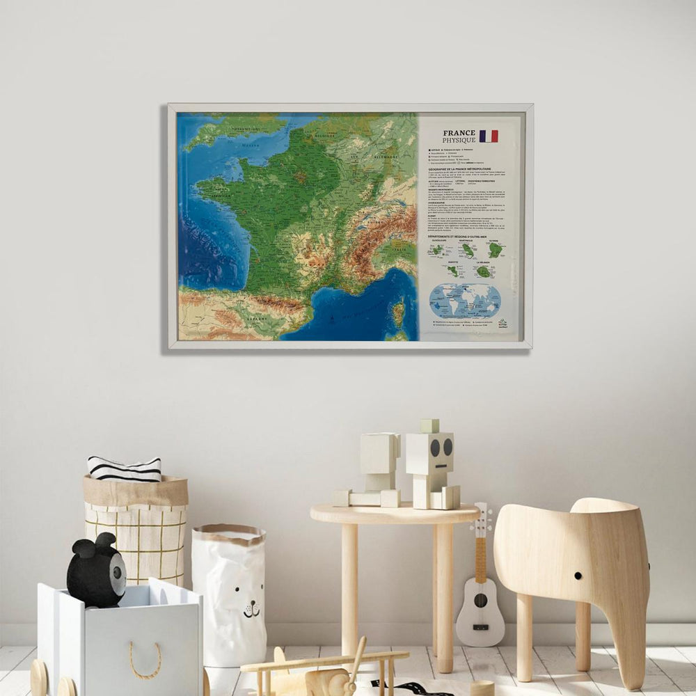
3D Raised relief map - The French Alps and its Alpine Massifs (41 cm x 61 cm) | 3D Map (French)

Price
Regular price $43.00
Regular price Sale price $43.00
Save $-43
/
  • Shipping within 24 working hours from our warehouse in France
  • Delivery costs calculated instantly in the basket
  • Real-time inventory
  • In stock, ready to ship
  • Backordered, shipping soon
Tax included.

Often purchased together:

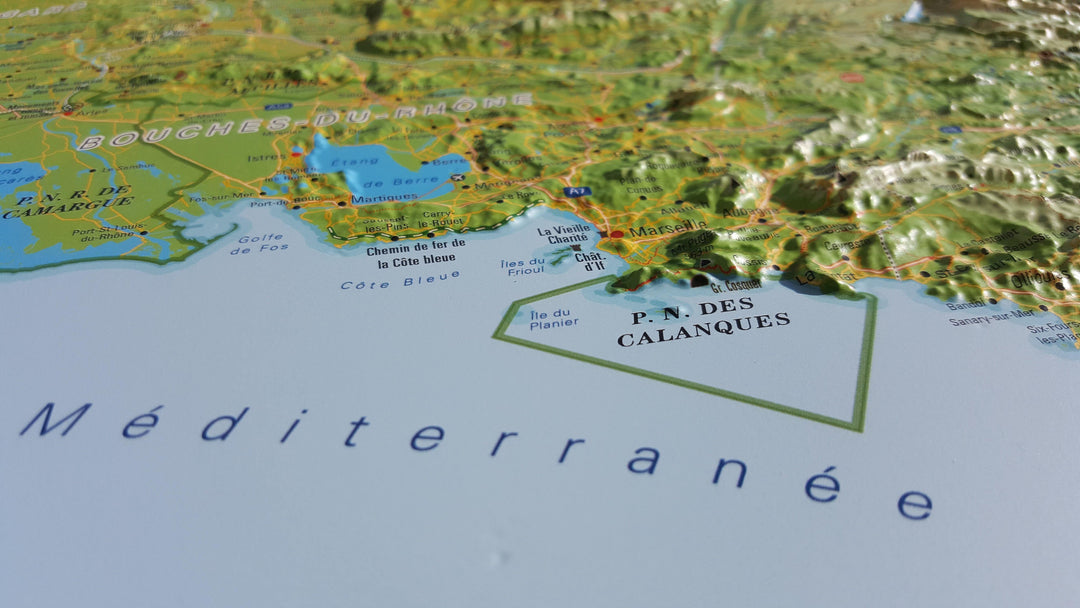
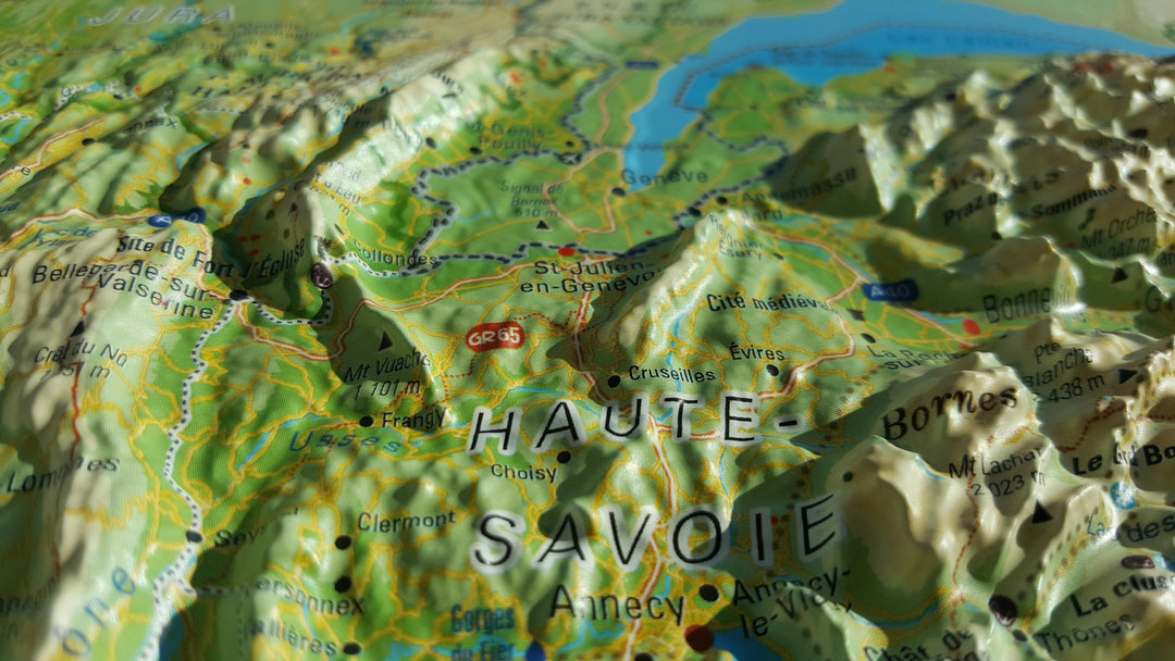
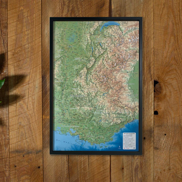
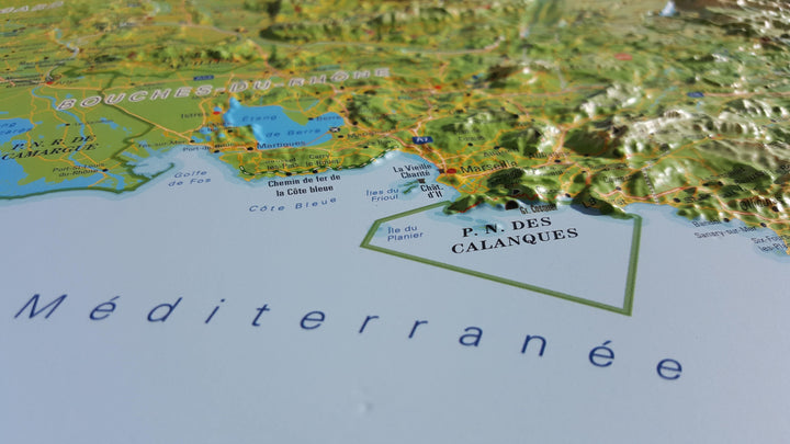
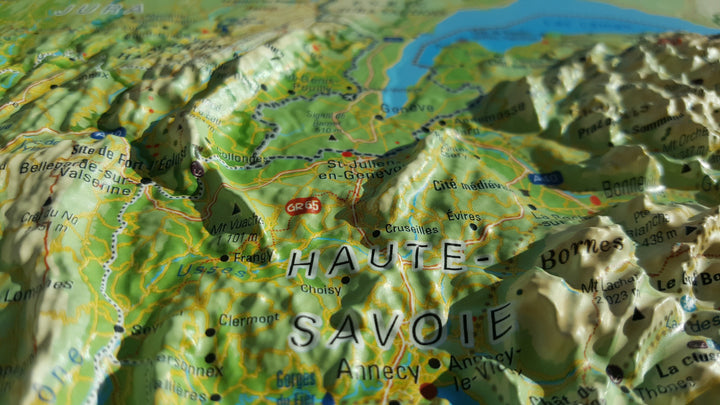
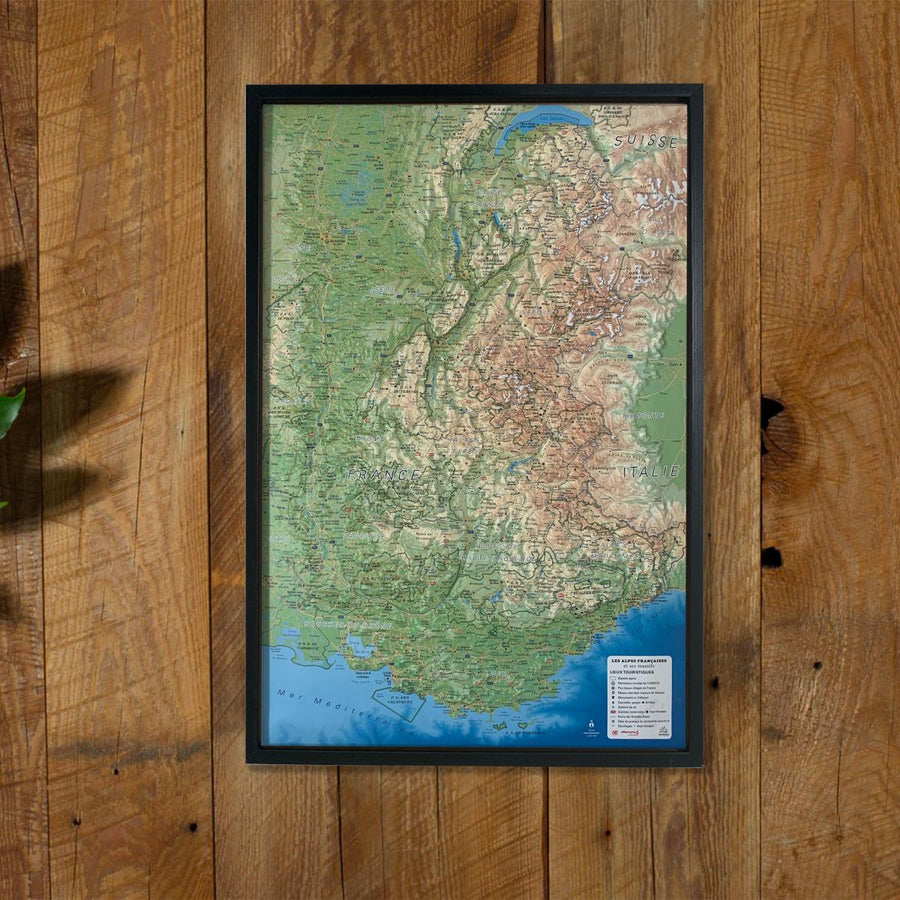
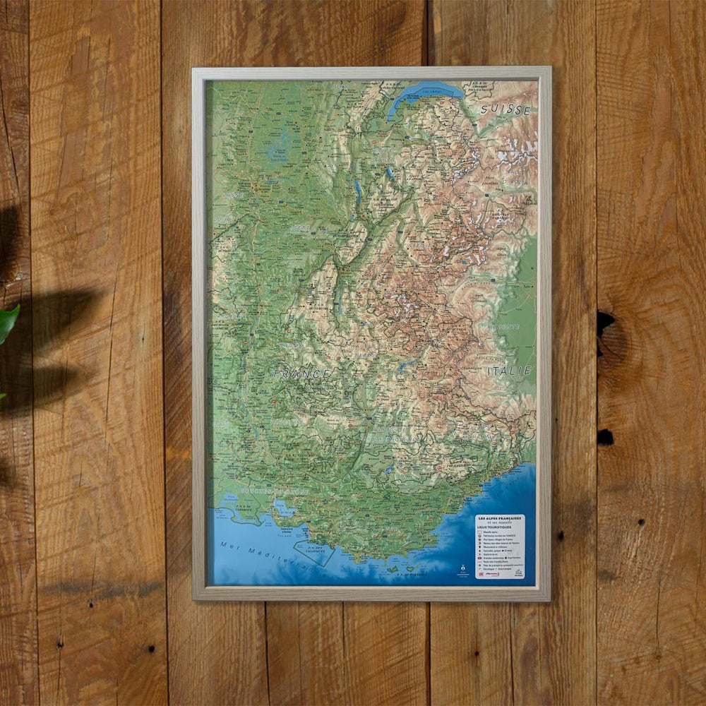
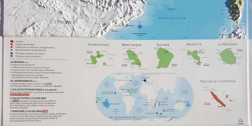
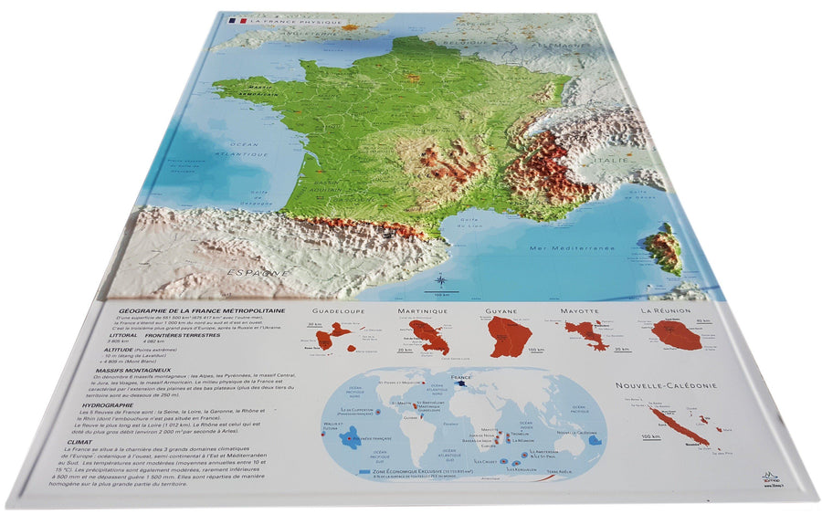
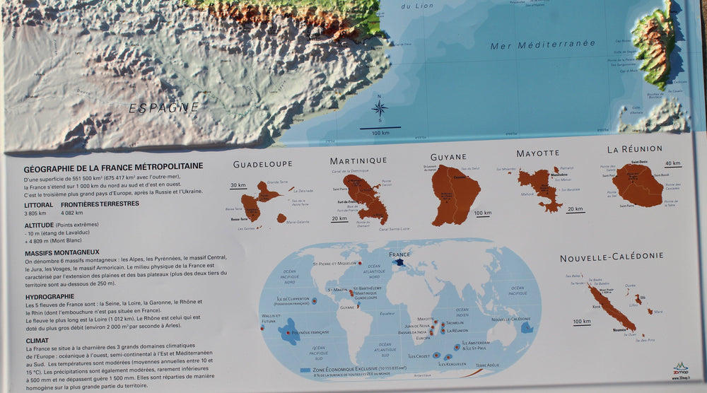
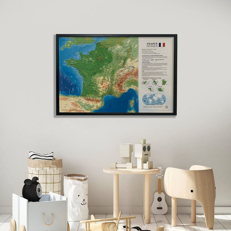
Relief wall map covering the French Alps and its alpine massifs.

A finishing frame is also available as an option: We highly recommend it to make hanging easier and to enhance the appearance of your map.

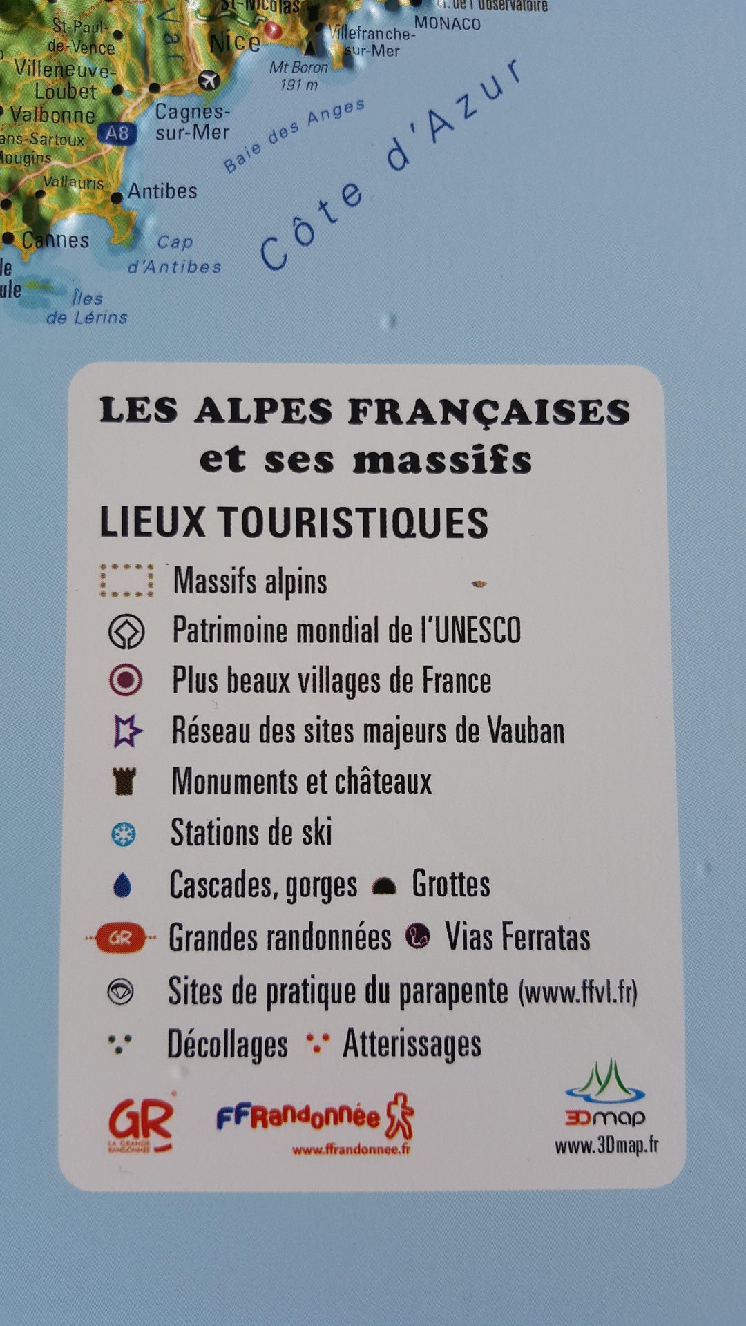
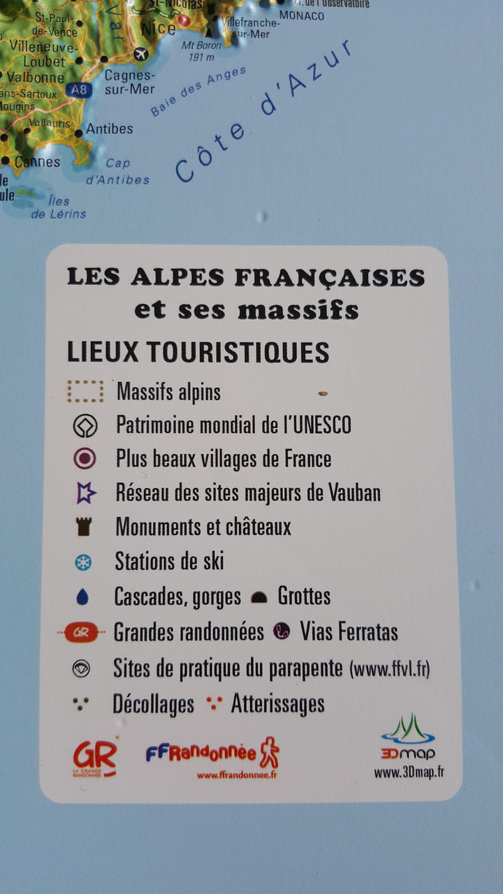
Information included on the map:
• Hydrological and natural data - Administrative data (roads, municipalities)
• UNESCO World Heritage Sites - The Most Beautiful Villages of France
• Les monuments and castles of legends - Ski stations reputed
• Thermal stations - Cascades, Gorges and Caves
• Glaciers and peaks - Alpine massifs
• Scale 1: 650 000 


ISBN / EAN : 9782955772904
Date de publication : 2016
Echelle : 1/650,000 (1cm=6.5km)
Dimensions déplié(e) : 41cm x 61cm
Langue : French
Poids : 136 g

Customer Reviews

Based on 13 reviews
85%
(11)
8%
(1)
0%
(0)
8%
(1)
0%
(0)
F
François D. (Marche-en-Famenne, BE)

Rapide, efficace et qualité du produit conforme aux attentes

A
Anne (Orléans, FR)
Parfait !

Tres belle carte

A
Amandine L. (Trélazé, FR)
Très belle carte

Elle correspond exactement à ce que je recherchais, le cadre s'accorde parfaitement et le colis a été préparé très soigneusement.
C'était un cadeau pour mon mari, il est ravi !

F
Frédérique L. (Denain, FR)

Superbe carte. Encore plus belle que sur la photo.

G
Gautier L. (La Rochelle, FR)
Très bien

Chouette produit avec un temps de livraison record