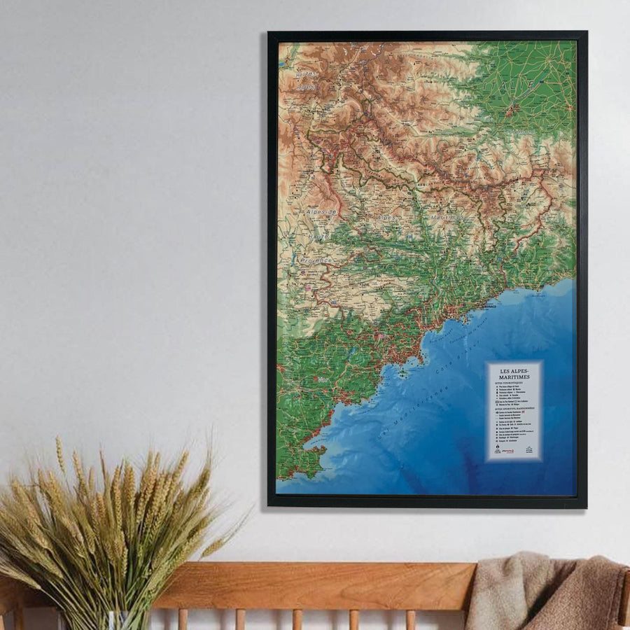
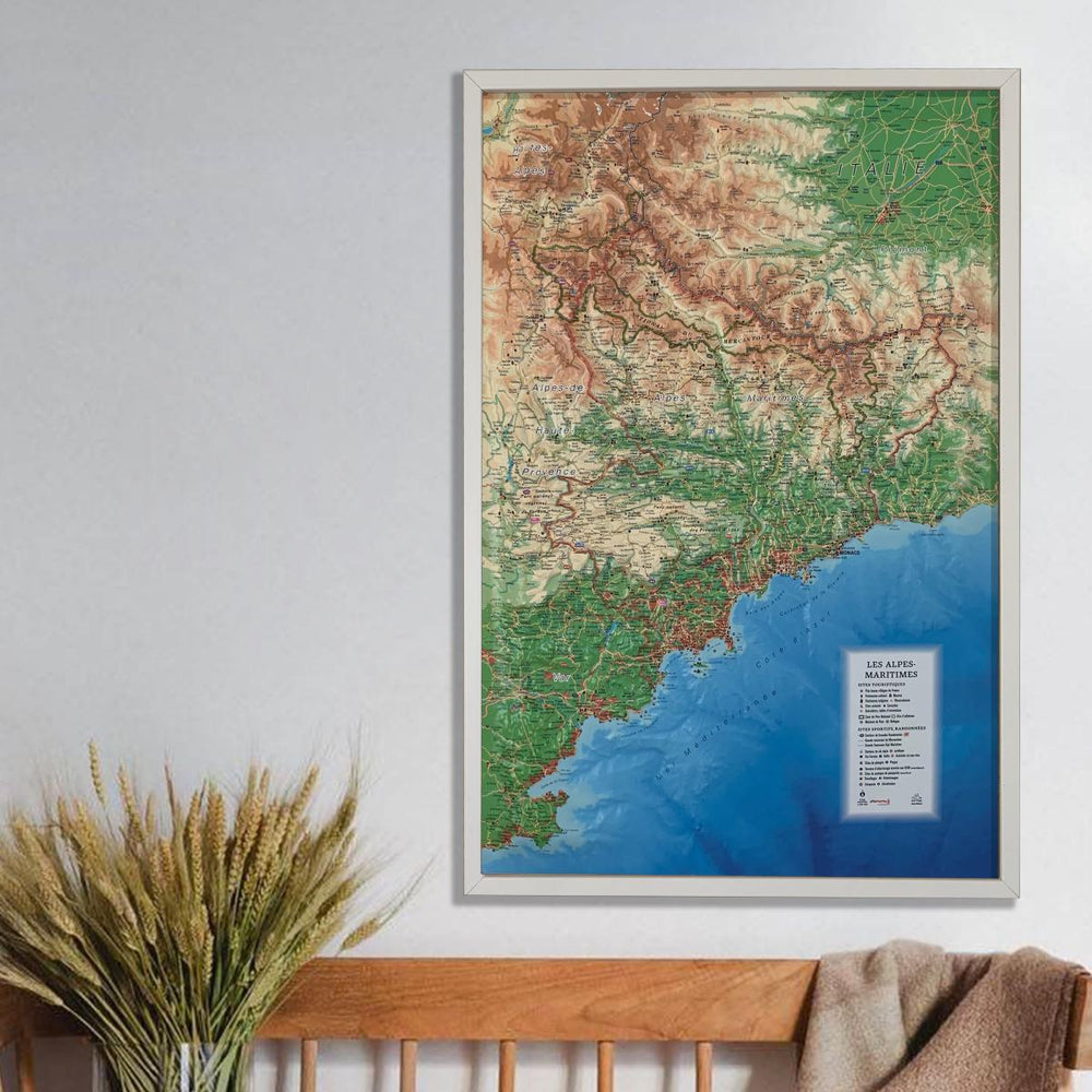
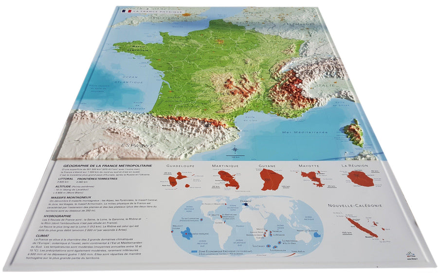
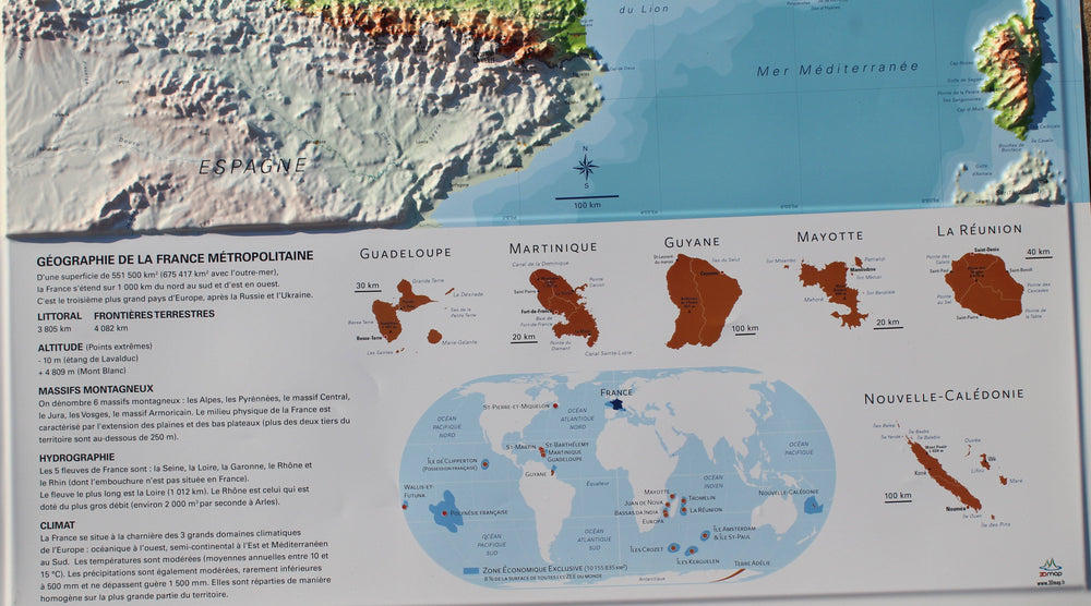
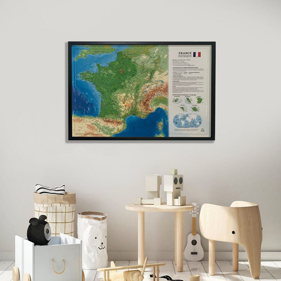
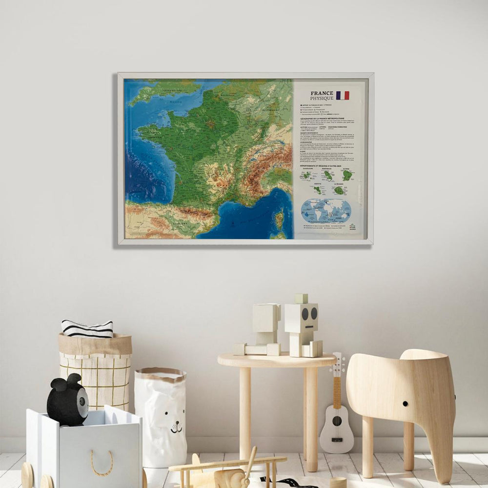
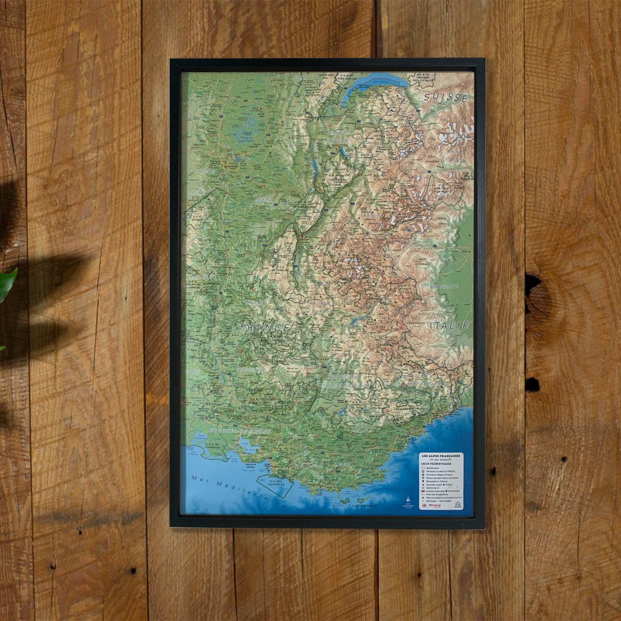
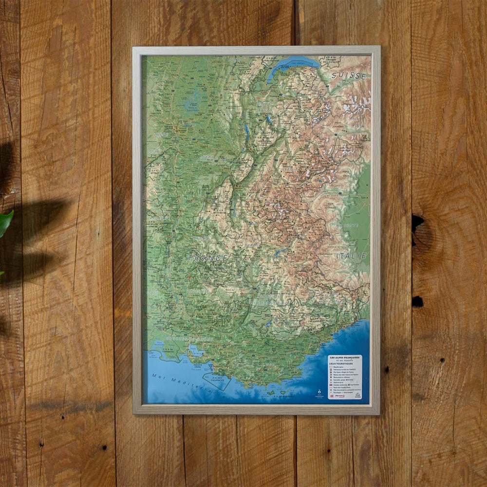
Relief wall map that covers the Alpes-Maritimes.
A finishing frame is also available as an option: We highly recommend it to make hanging easier and to enhance the appearance of your map.
Information Included on the Map:
-
TOURIST SITES:
- Most Beautiful Villages of France
- Cultural Heritage
- Museums
- Religious Heritage
- Observatories
- Natural Sites
- Waterfalls
- Viewpoints and Orientation Tables
- National Park Core Area
- Affiliated Area
- Park Visitor Centers
- Mountain Refuges
-
SPORTS AND HIKING SITES:
- Long-Distance Hiking Trails (GR)
- Mercantour Grand Traverse
- Alpi Marittime Grand Traverse
- Alpine and Nordic Ski Resorts
- Via Ferrata Routes
- Golf Courses
- Whitewater Activities
- Diving Sites
- Beaches
- Landing Areas for Ultralight Aircraft (www.ffplum.fr)
- Paragliding Sites (www.ffvl.fr)
- Takeoff Zones
- Landing Zones
- Airports
- Aerodromes
-
Scale: 1:280,000
ISBN / EAN : 9791097206086
Date de publication : 2018
Echelle : 1/280,000 (1 cm = 2.8 km)
Dimensions déplié(e) : 41cm x 61cm
Langue : French
Poids :
136 g


