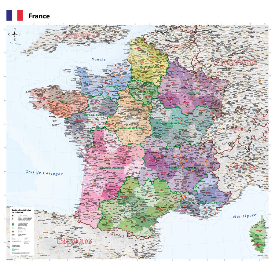
This road map of the northeastern quarter of France is designed to be displayed on a wall: ideal for decorating an office, living room, or bedroom. It will appeal to anyone who appreciates Coffee table posters that are both aesthetically pleasing and rich in content.
📍 Map content:
• Cities and villages: prefectures, sub-prefectures, cantons, major municipalities, hamlets
• Road network: motorways, main roads, mileage indications (total and partial)
• Physical and administrative geography: rivers, streams, forests, urban areas, boundaries of natural parks
• National borders
• Extensive tourist information: remarkable locations, castles, ruins, churches of interest, viewpoints, ski resorts, lighthouses, etc.
📌 This card is available in 2 finishes:
• 150 g paper with matte lamination (flexible support, card delivered in a tube)
• 3 mm PVC (rigid support)
Date de publication : 2021
Echelle : 1/500,000 (1cm=5km)
Impression: front
Dimensions déplié(e) : 100x100cm
Langue : French English