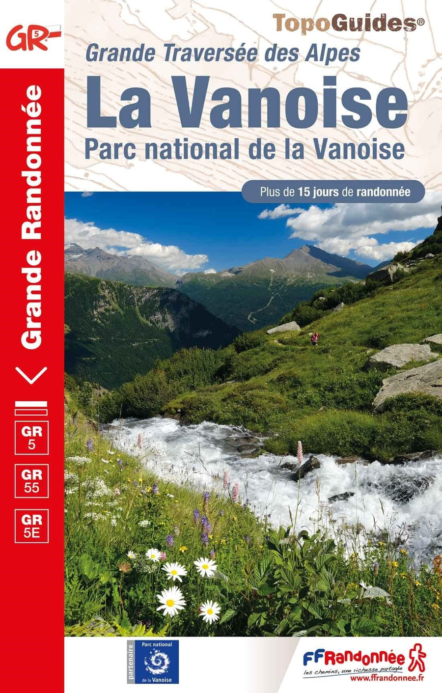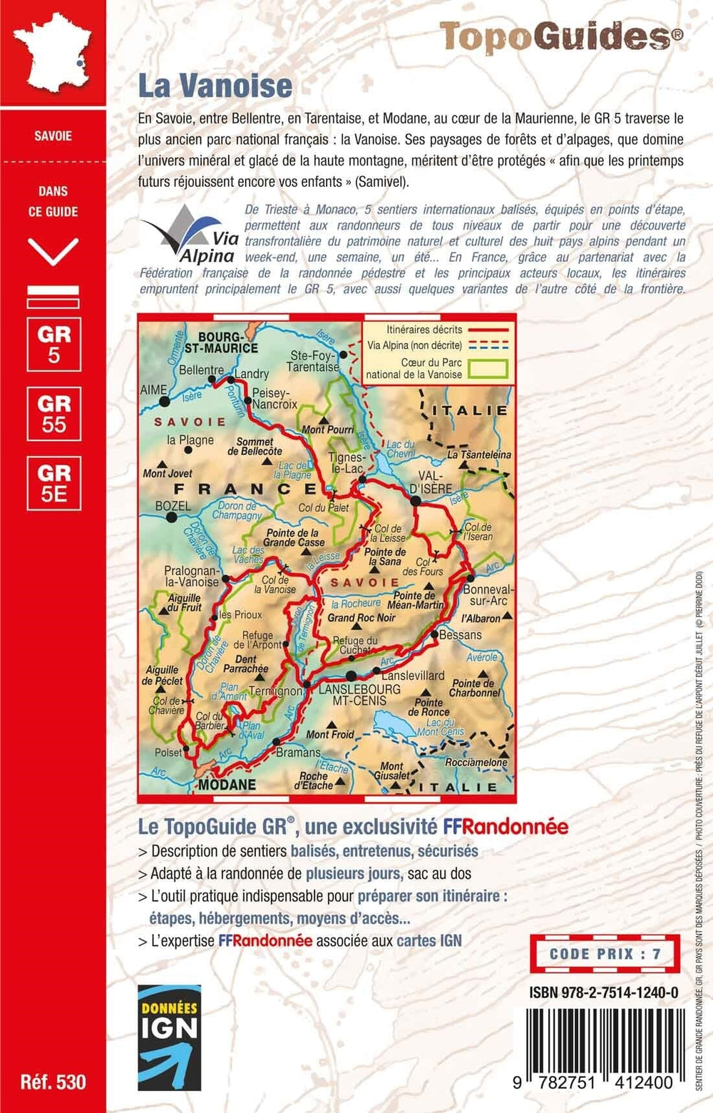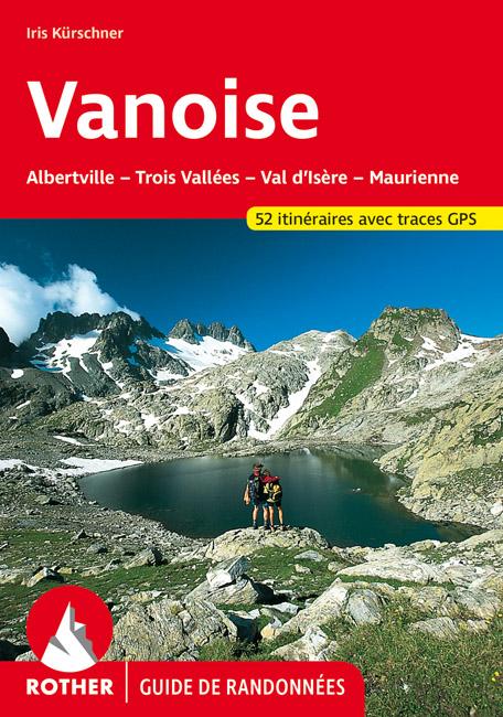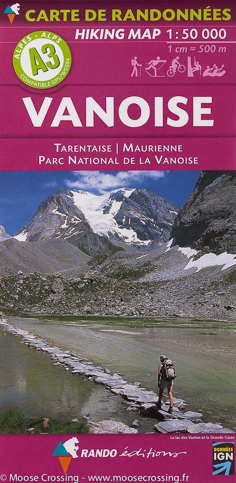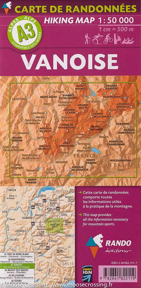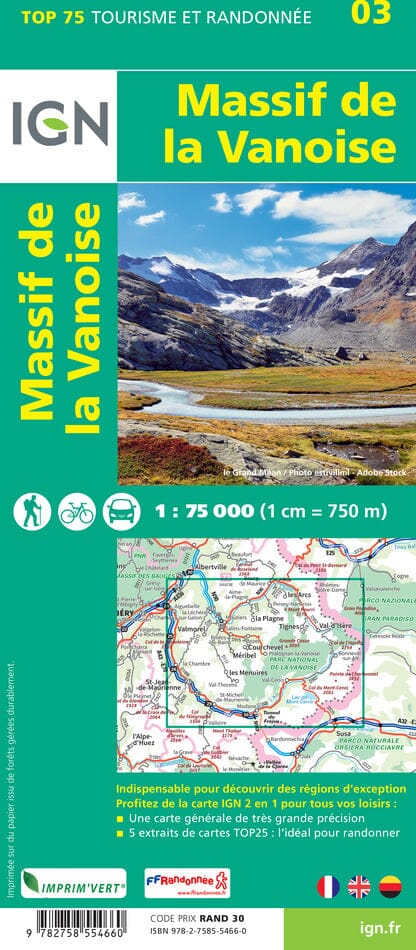

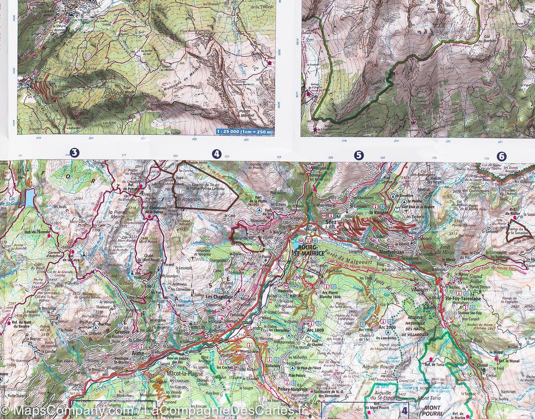

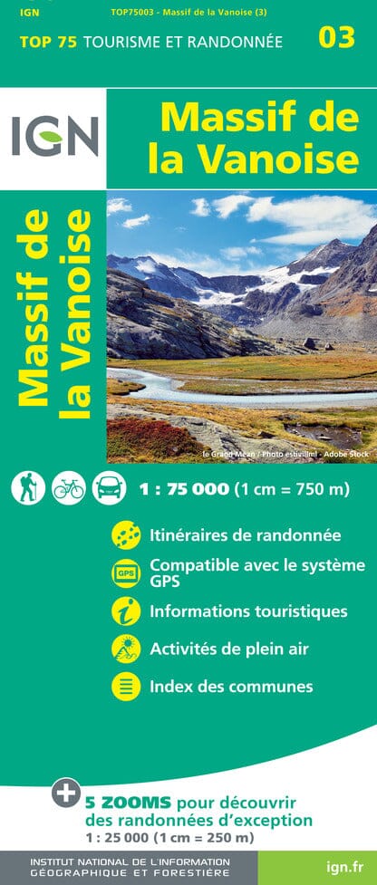

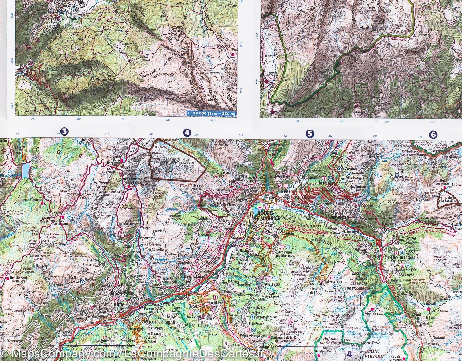
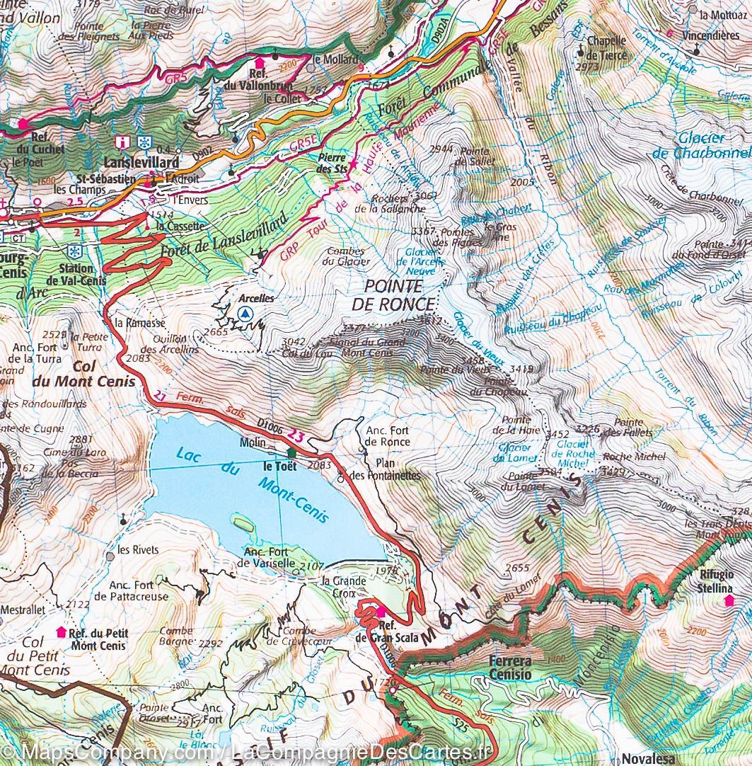
TOP 75 Map No. 3 - Vanoise Massif | IGN
Regular price
$12.00
Regular price
$0.00
Sale price
$12.00
Save $-12
/
- Shipping within 24 working hours from our warehouse in France
- Delivery costs calculated instantly in the basket
- Free returns (*)
- Real-time inventory
- In stock, ready to ship
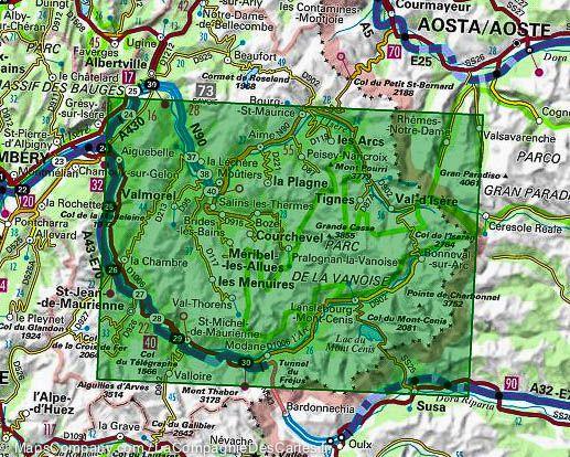
Related geographic locations and collections: Auvergne-Rhône-Alpes, French Alps (all hiking), Savoie, Tarentaise Valley, Vanoise National Park