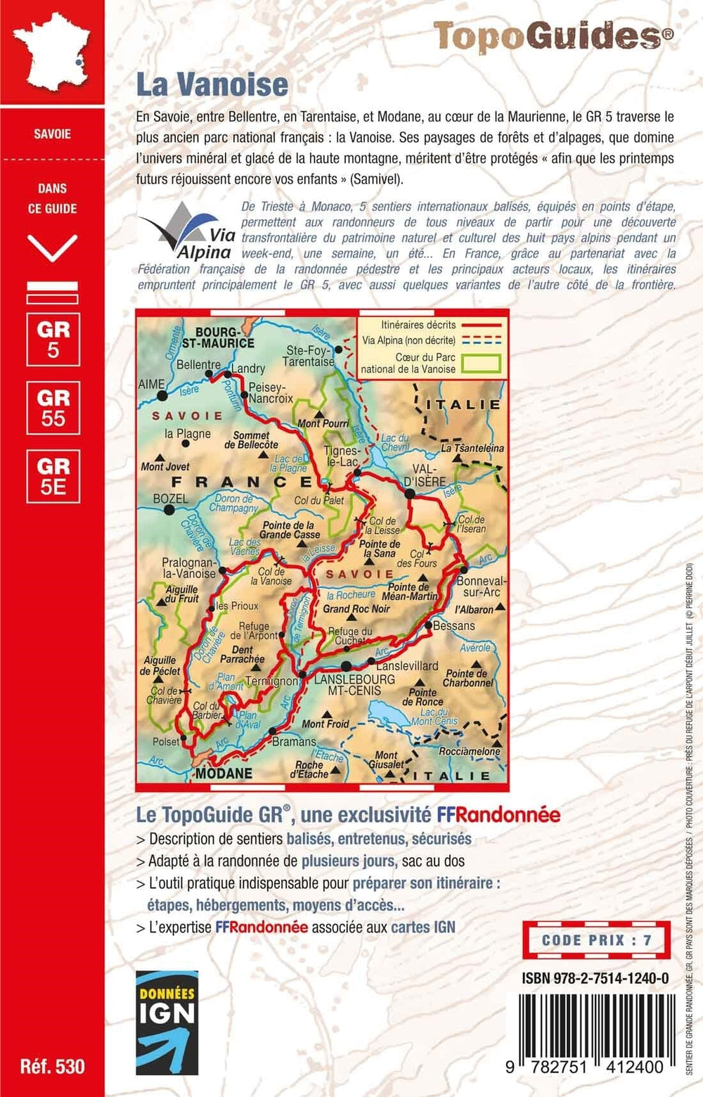
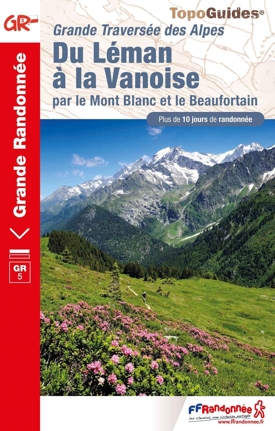
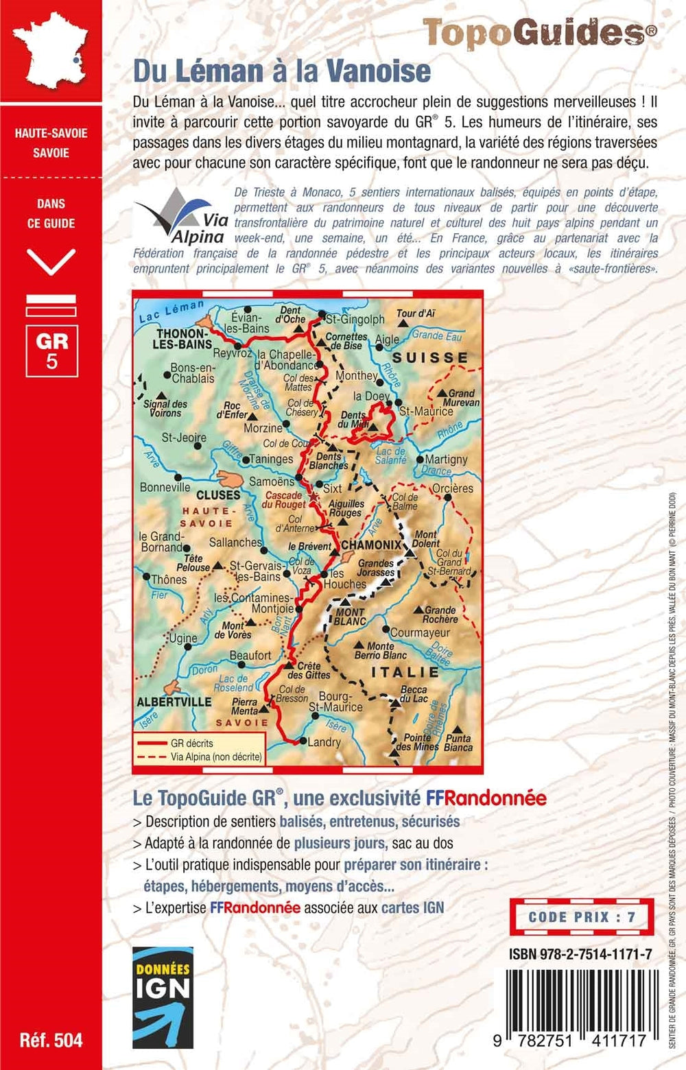
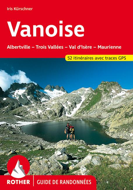
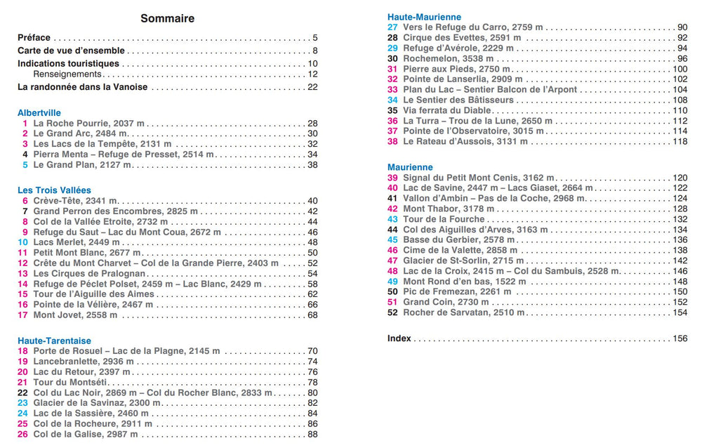
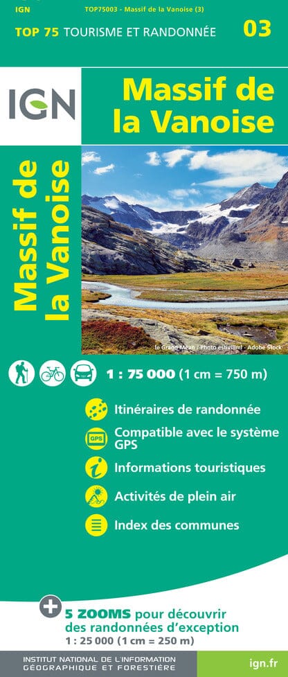
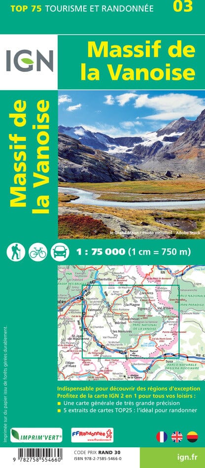
ISBN/EAN : 9782841822119
Publication date: 2004
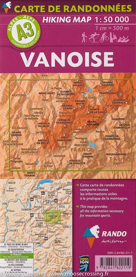
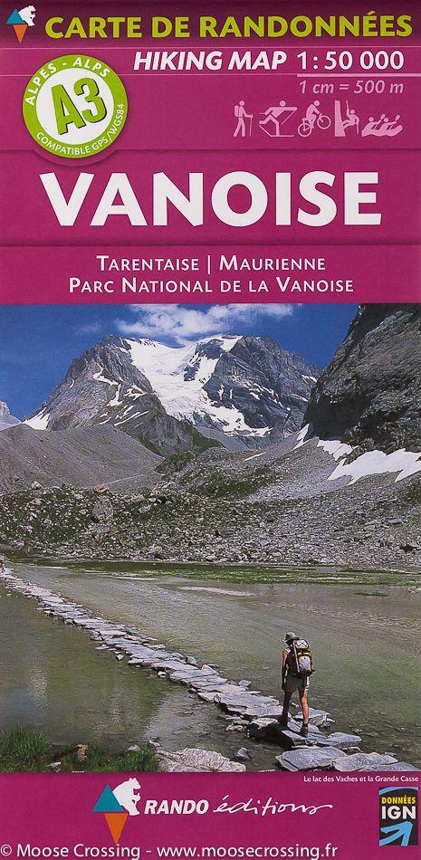
Scale: 1/50,000 (1cm=500m)
Printed sides: front
Folded dimensions: 22.5 x 11 x 0.5cm
Unfolded dimensions: 131 x 90cm
Language(s): French English
Weight:
88 g
Over 19,000 maps and travel guides, hiking maps, posters, globes, and decor in stock!
Over 19,000 maps and travel guides, hiking maps, posters, globes, and decor in stock!
🧭 Soon: Cartovia ✨ Read the full story here 🗺️
🧭 This September, La Compagnie des Cartes becomes Cartovia ✨ Read the full story here 🗺️
Free delivery for all orders > €50 (folded maps and guides, France)
Free delivery for all orders > €50 (folded maps and guides, France)
-
Travel maps
-
Hiking
-
Wall maps
-
-
Travel accessories
-
-
Your cart is currently empty.
The exclusive newsletter for travel and discovery enthusiasts!
We accept
© 2025
La Compagnie des Cartes - Le voyage et la randonnée
/ Cartovia / MapsCompany
General terms and conditions of salePrivacyRequest for access to personal data


