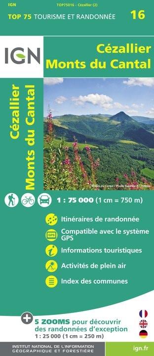
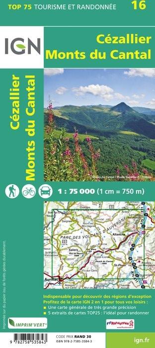
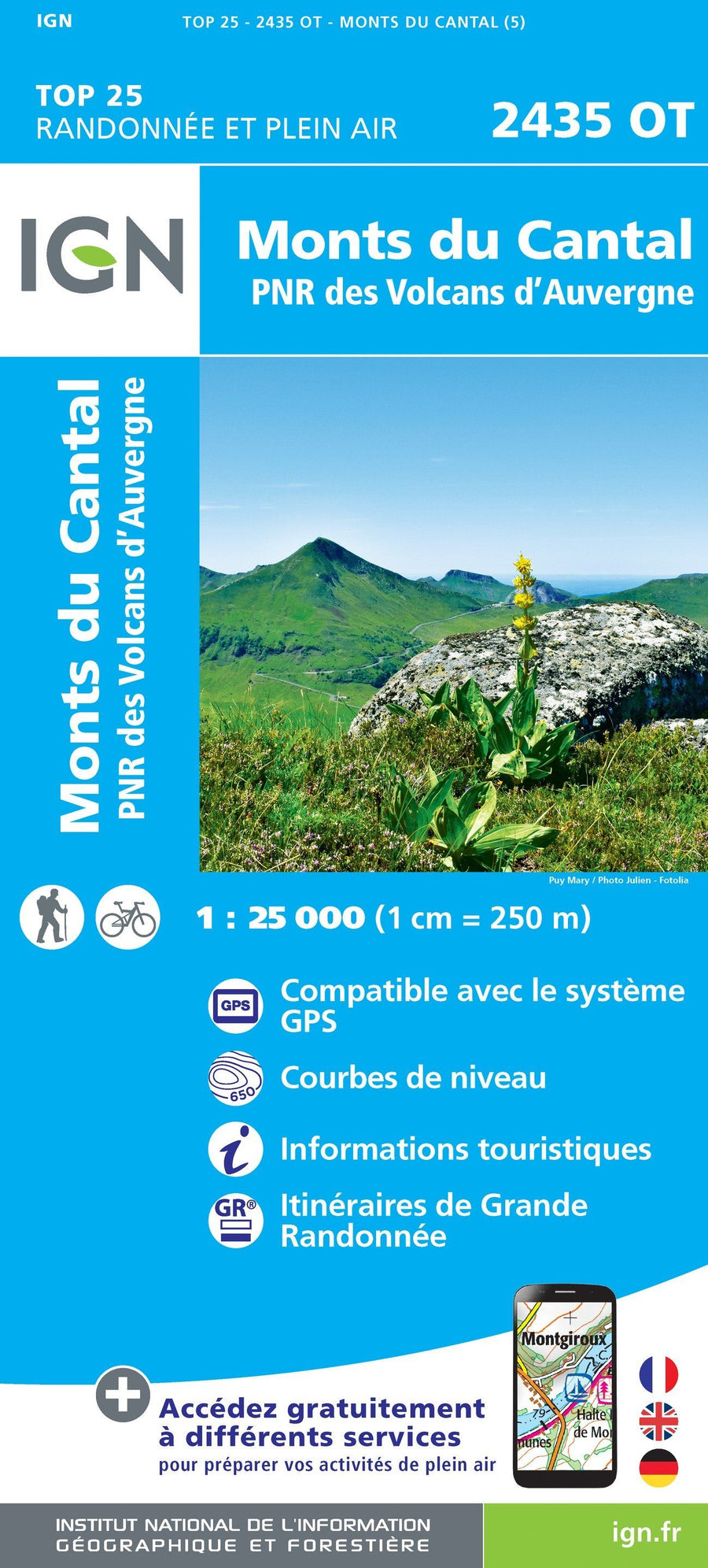
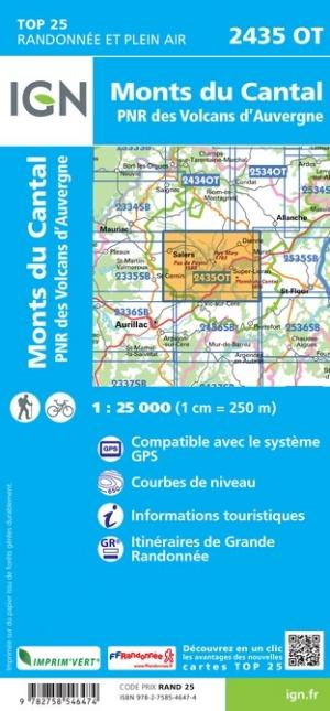
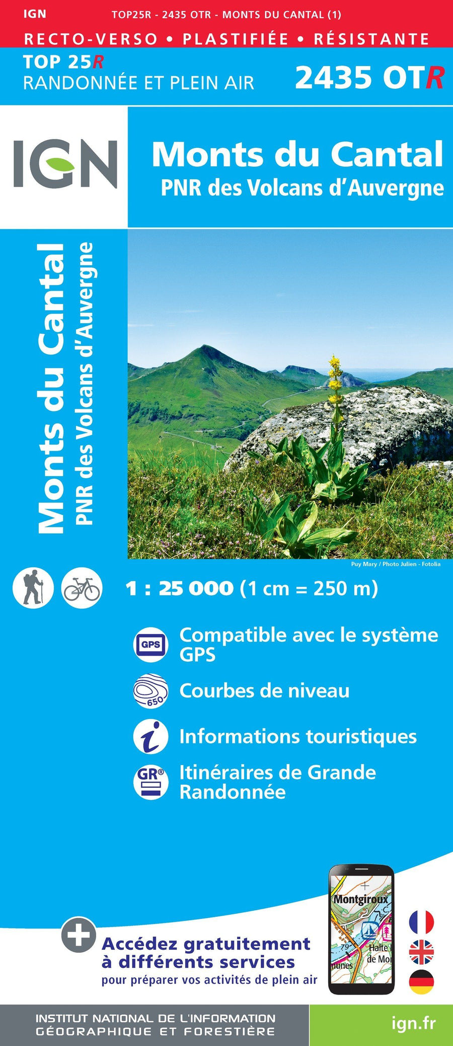
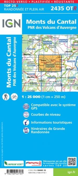
This is a laminated poster version of the TOP 25 map No. 2435 OT - Monts du Cantal, PNR des volcans d'Auvergne.
Please note: this map is laminated on request, based on the original map, which is folded. The folds remain slightly visible.
The map is delivered rolled in a cardboard tube.
An additional few days are required for the production of the map.
As this product is custom-made at the request of our customers, it cannot be returned.
Municipality Covered : Monts du Cantal, Auvergne Volcanoes Regional Natural Park, Brezons, Le Falgoux, Fontanges, Le Vaulmier, Saint-Bonnet-de-Salers, Le Fau, Dienne, Cheylade, Saint-Paul-de-Salers, Mandailles-Saint-Julien, Marmanhac, Lavigerie, Velzic, Saint-Projet-de-Salers, Lascelle, Saint-Cirgues-de-Jordanne, Laroquevieille.
Places to discover : Auvergne Volcanoes Regional Natural Park, Murat State Forest, Puy Violent, Puy Chavaroche, Font de Cère Pass, Puy de Peyre Arse, Legal Pass, Pas de Cère, Puy du Rocher, Puy Griou, Mandailles Valley, Pas de Compaing, Plomb du Cantal, Puy Mary, Rombière Pass, Pas de Peyrol Pass, Néronne Pass, Palmont Castle Rock, Roucolle Waterfall, Anjony Castle, Burons d'Eylac, Sedaiges Castle, St-Antoine, Roche Waterfall, Notre-Dame de Consolation, Boyle Castle, Faillitoux Waterfall, Liadouze Waterfall.
ISBN / EAN : 9782758546474P
Date de publication : 2019
Echelle : 1/25,000 (1cm=250m)
Impression: front
Dimensions déplié(e) : 96 x 132cm
Langue : French, English, German
Poids :
300 g


