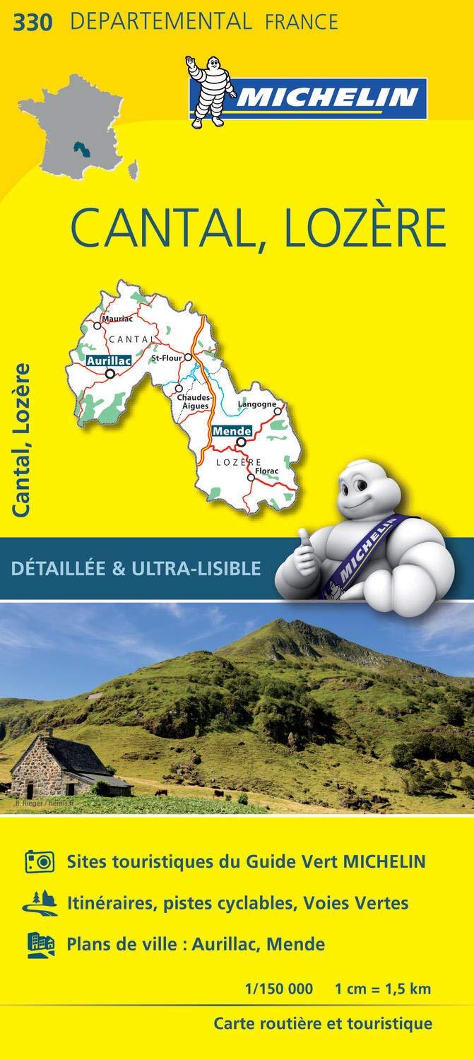
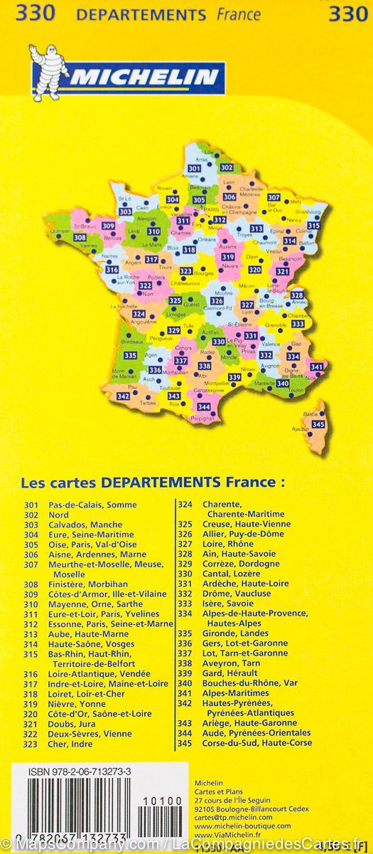
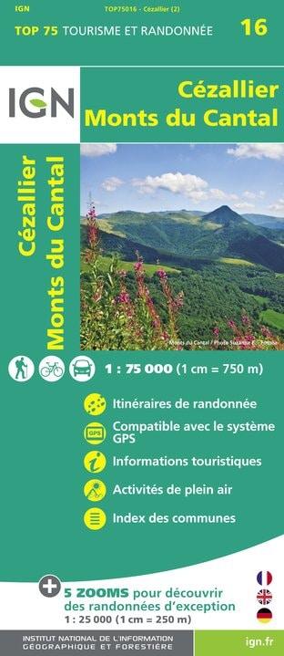
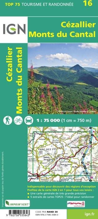
Cantal (département 15)

Cantal (department 15)

51 products
You will find here road maps of the department of Cantal, IGN hiking maps, as well as many topoguides of the department (Chamina, FFR).
Carte départementale D15-19 - Cantal & Corrèze | IGN carte pliée IGN
Departmental Map D15 - 19 - Cantal & Corrèze | IGN
IGN
$7.00
Carte TOP 25 n° 2537 OT - Nasbinals, Monts d'Aubrac | IGN carte pliée IGN
Top 25 map # 2537 OT - Nasbinals, Aubrac Mountains | IGN
IGN
$17.00
Carte de randonnée n° 2334 - Mauriac, Ydes (Cantal) | IGN - Série Bleue carte pliée IGN
Hiking map # 2334 - Mauriac, Ydes (Cantal) | IGN - Blue Series
IGN
$17.00
Carte de randonnée n° 2535 - Saint-Flour, Murat | IGN - Série Bleue carte pliée IGN
Hiking map # 2535 - Saint - Flour, Murat | IGN - Blue Series
IGN
$17.00
Guide de randonnées - Cantal - 35 balades à pied | Chamina guide de randonnée Chamina
Hiking guide - Cantal - 35 walks | Chamina (French)
Chamina
$18.00
Guide Vert - Auvergne - Édition 2025 | Michelin guide de voyage Michelin
Green guide - Auvergne | Michelin (French)
Michelin
$19.00
Carte murale en relief - Cantal - 61 cm x 41 cm | 3D Map carte relief 3D Map
Relief wall map - Cantal - 61 cm x 41 cm | 3D Map
3D Map
$48.00