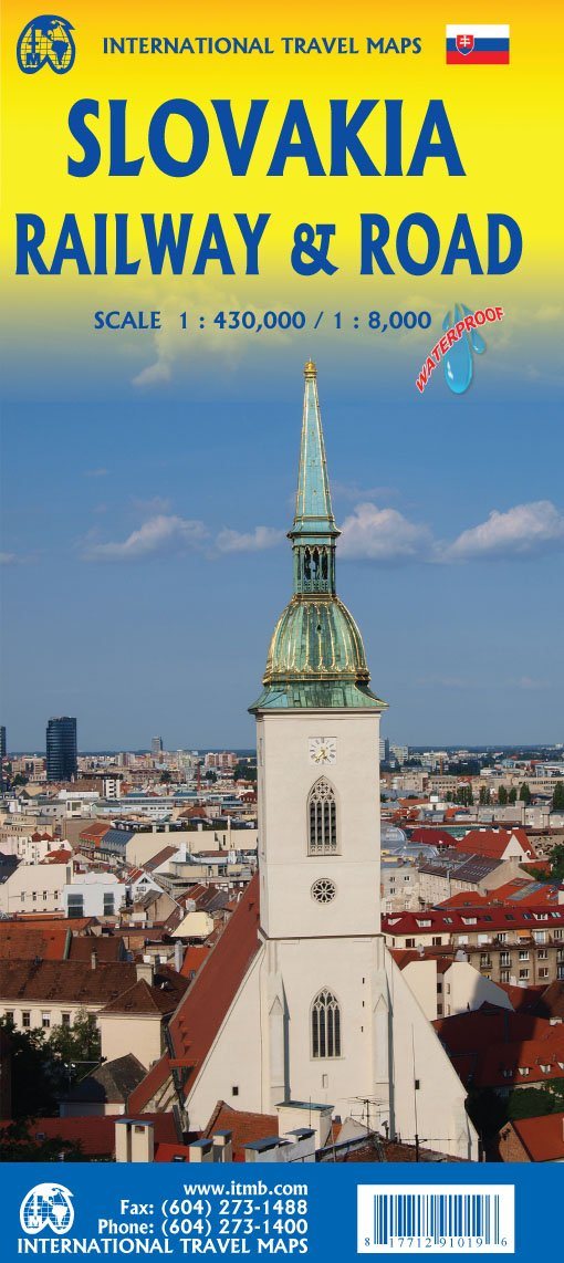
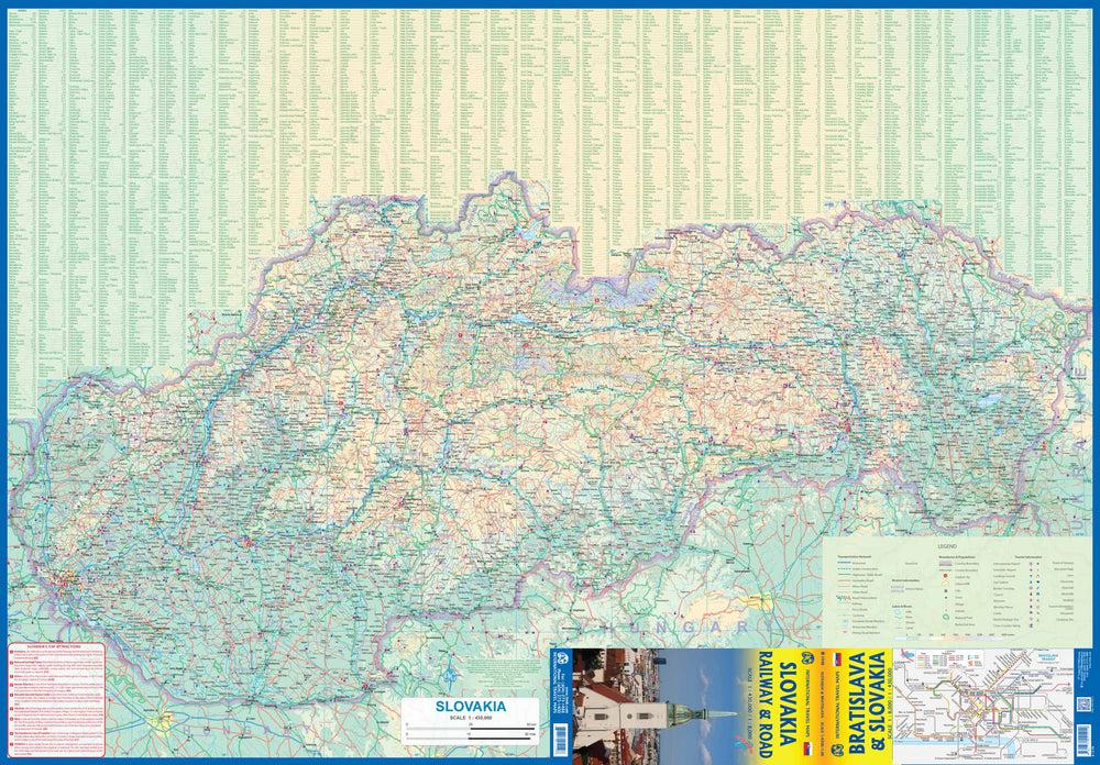
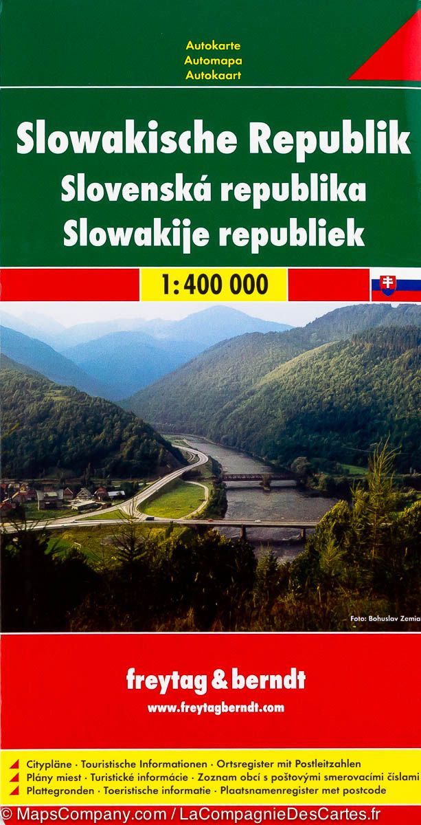
Road map of Slovakia published by Freytag & Berndt. Relief mapping, distances and multilingual legend in English, French, German and Italian.
The road network is well represented, both main roads and provincial and local roads. Road numbers are also clearly indicated. Distances between locations are shown on the map in kilometers, and gas stations are also indicated at important points.
The shading shows the relief and sometimes some points with actual height. Provincial boundaries, national parks and reserves are easy to find. Symbols indicate the location of tourist sites, monuments, places and viewpoints of historical importance.
In some places, you can find hotels and campsites, airports, rail links and ports.
ISBN/EAN : 9783707922882
Publication date: 2024
Scale: 1/200,000 (1cm=2km)
Printed sides: both sides
Folded dimensions: 25.6 x 13 x 0.8cm
Unfolded dimensions: 123 x 86cm
Language(s): French, English, German, Spanish, Italian
Weight:
128 g


