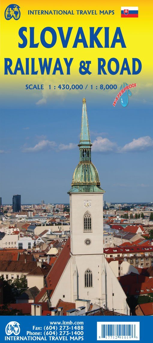
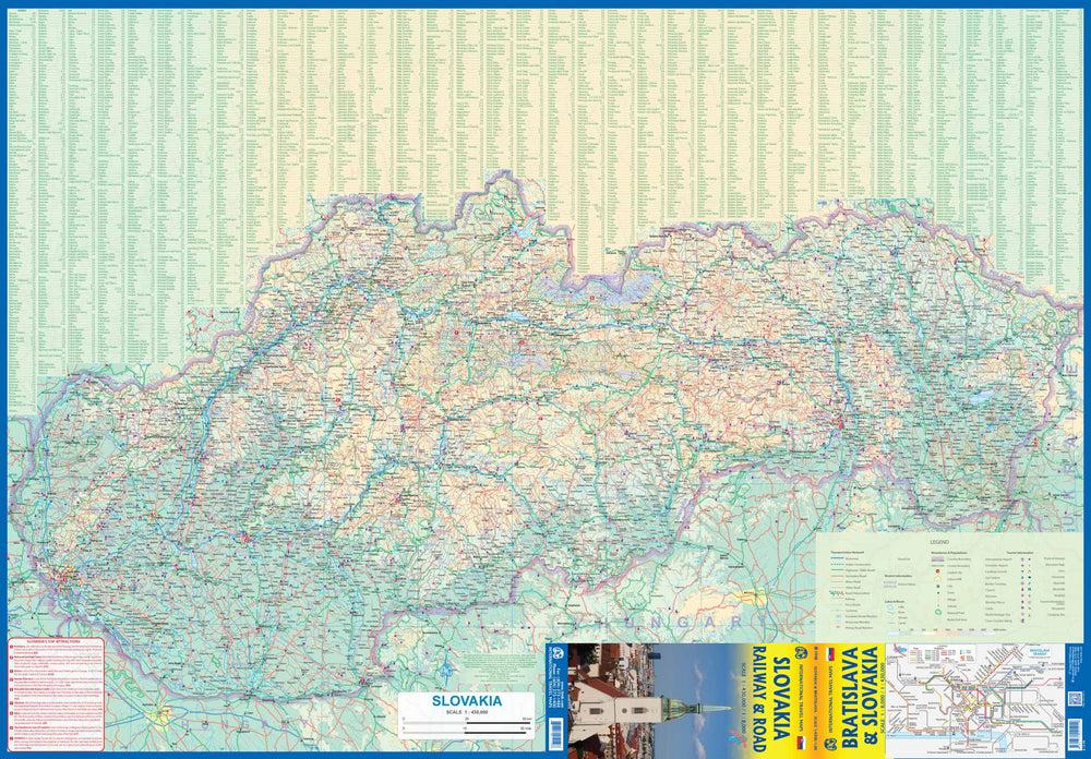
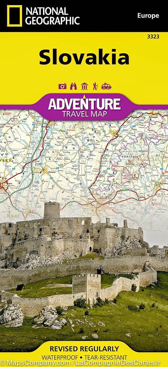
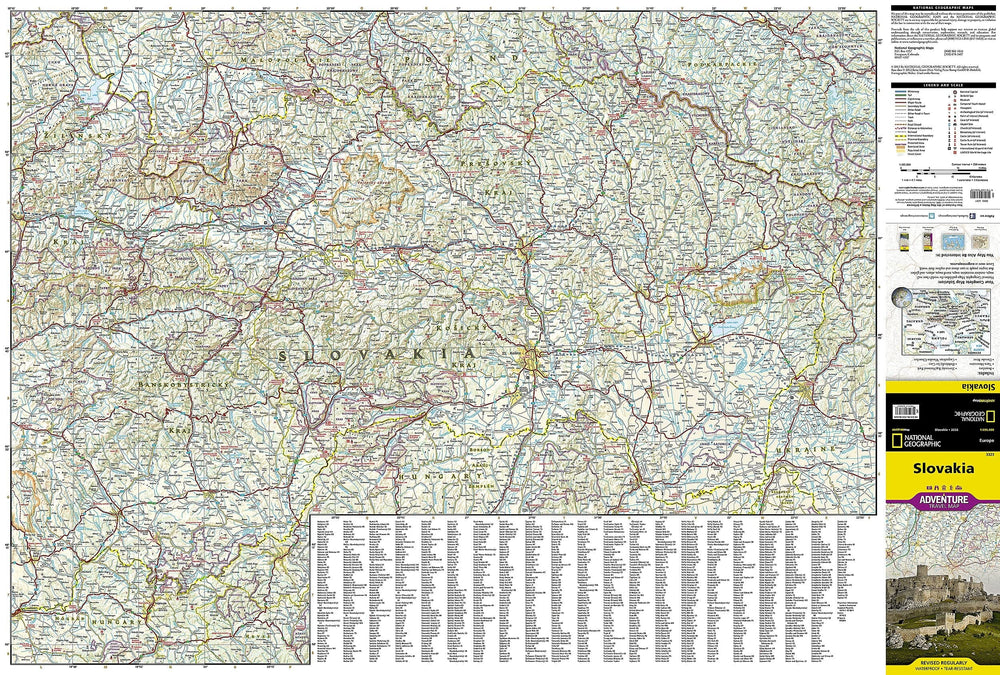
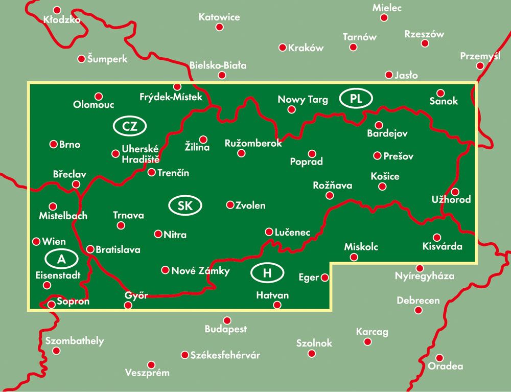
Road map of Slovakia published by ITM. This map covers the entire Slovakia on the front, from its Austrian and Czech borders at its border with Ukraine. A list of main attractions is included, such as the low - known cities of Kosice, Banska Stiavnica and Starvo, as well as the Karstic underground caves of Demanova and the Bojnice fairy tale castle.
The back has a plane of the capital Bratislava in the smallest detail, showing the Danube and the old town, as well as the most recent peripheral areas of Petrzalka and Ruzinov.
This traveling map is waterproof and resistant to tearing.
1/430 000 scale (1 cm = 4.3 km) and 1/8 000 (1 cm = 800 m).
ISBN/EAN : 9781771291019
Publication date: 2021
Scale: 1/430,000 (1 cm = 4.3 km) & 1/8,000 (1 cm = 800 m)
Printed sides: both sides
Folded dimensions: 24.6 x 10.3 x 0.5cm
Unfolded dimensions: 68x100cm
Language(s): English
Weight:
89 g


