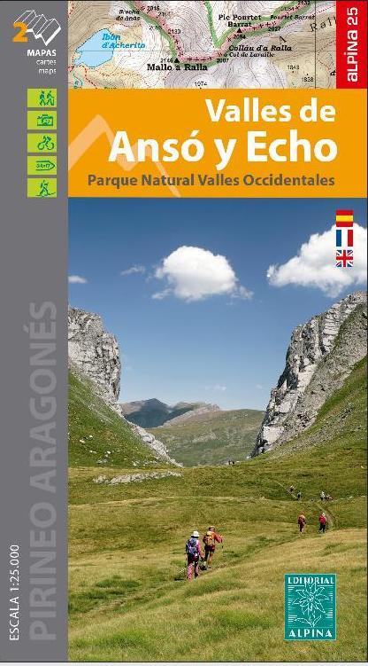
From the Col du Portalet to the Santa Elena parade
Discover the new hiking map dedicated to the Tena Valley, a true paradise nestled in the heart of the Aragonese Pyrenees . This spectacular territory extends from Portalet to the Santa Elena gorge, offering an exceptional environment for nature and mountain lovers.
Between peaks over 3,000 meters, deep glacial valleys and crystal clear high altitude lakes, the valley is home to remarkable landscapes such as the Aguas Limpias Valley, the Ip Valley and the Izas Canal .
The map highlights emblematic places such as Balaitús, Garmo Negro, the Respomuso, Catieras and Bramatuero lakes, as well as the Lanuza and Búbal reservoirs. Unique landscapes such as Aguas Limpias, the Ip Valley and the Izas Canal are revealed in all their splendor.
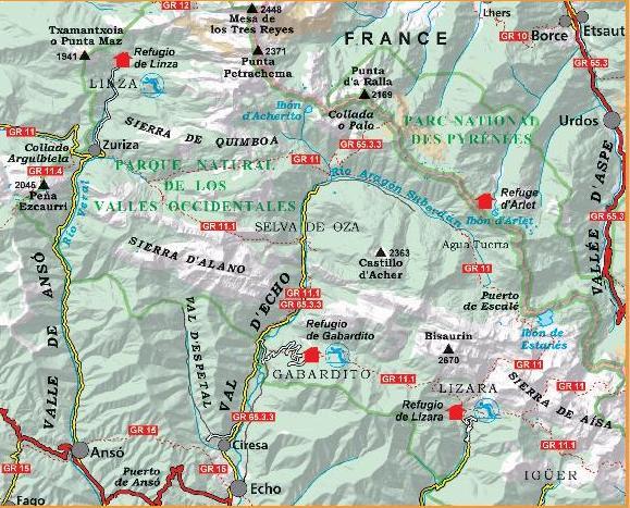
Scale 1:25,000, it includes:
-
Marked trails : GR®, PR®, SL
-
Hiking and climbing routes
-
Natural and cultural points of interest : dolmens, waterfalls, remarkable sites
The folding flap offers:
-
Practical and tourist information
-
Hiking suggestions
-
Mountain refuges and must-see sites
An essential map for planning your outings in this high mountain region, whether you are a hiker, climber or lover of the great outdoors.
ISBN/EAN : 9788470111723
Publication date: 2025
Scale: 1/25,000 (1cm=250m)
Printed sides: front
Folded dimensions: 21 x 11 x 0.5cm
Unfolded dimensions: 110 x 82cm
Language(s): French, English, Castilian
Weight:
178 g


