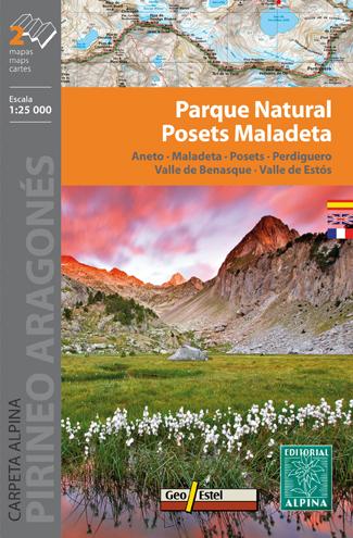
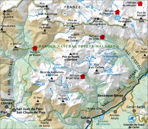
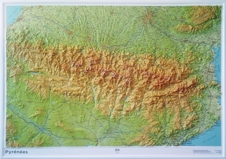
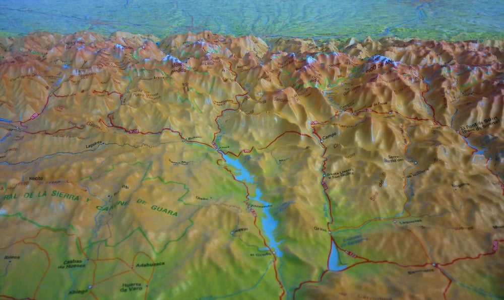
Lot of 2 Hiking maps - Natural Poor Park - Sickta: aneto, sick, Postsets, Perdiguero, Benasque Valleys & Estos (Aragonese Pyrenees) | Alpina
Regular price
$21.00
Regular price
Sale price
$21.00
Save $-21
/
- Shipping within 24 working hours from our warehouse in France
- Frais de livraison calculés instantanément dans le panier
- Retours gratuits (*)
- Stocks en temps réel
- Low stock - 2 items left
Related geographic locations and collections: Aneto, Aragonese Pyrenees, Benasque, Central Pyrenees, Editorial Alpina, Maladeta Massif, Posets, Pyrenees, Spanish Pyrenees, Spanish Pyrenees - Assembly Table - Editorial Alpina