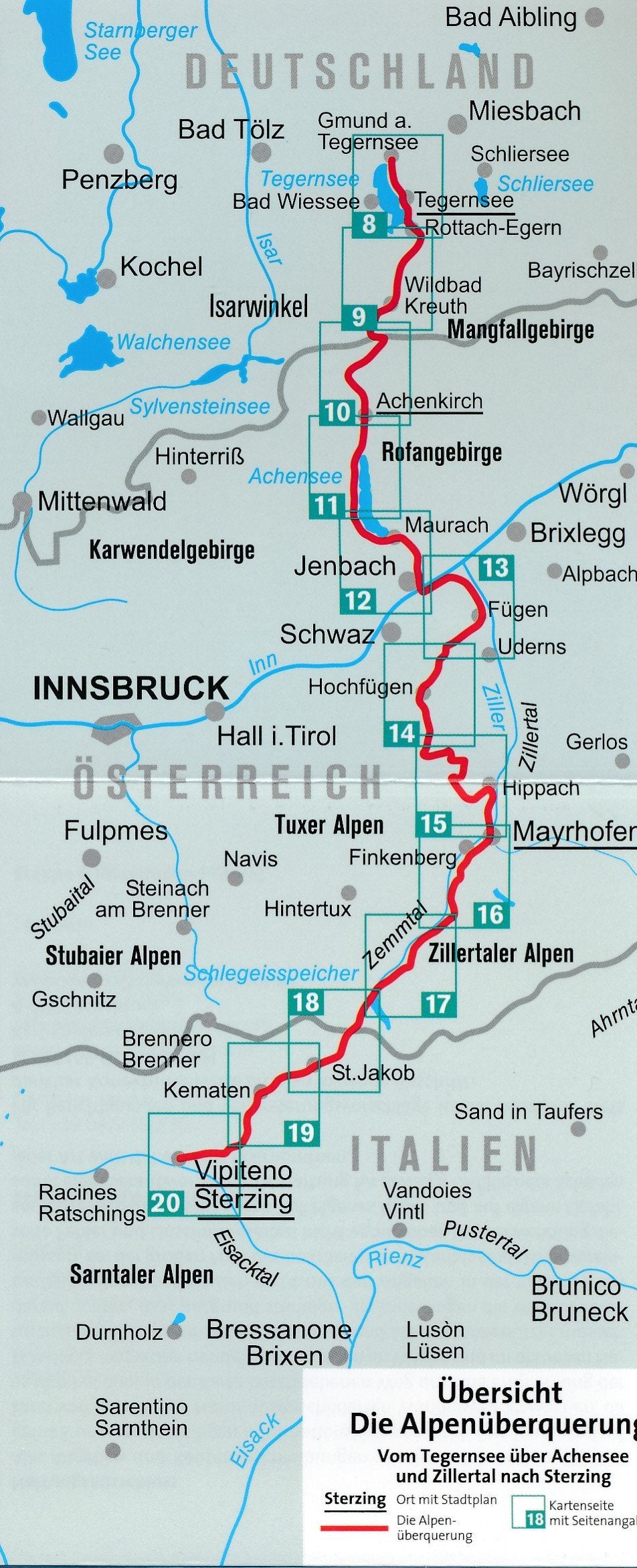
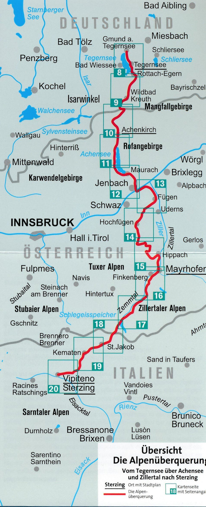
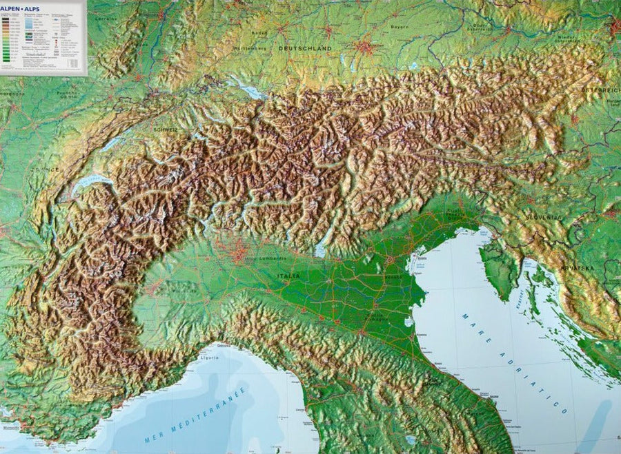
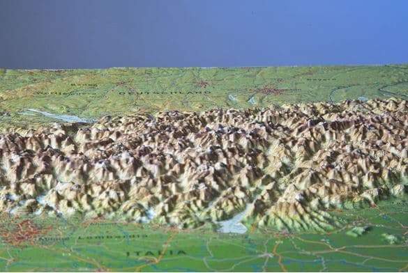
From Tegernsee Via Achensee and Zillertal to Vipiteno - on easy - to - hard routes, this road crosses the main alpine ridge towards Italy.
- The seven steps of 11 to 22 km long give not only a glimpse of very different mountain landscapes, but also from the diversity of alpine cultural landscapes of Haute - Bavaria, Tyrol and South Tyrol.
- The third step on the west shore of the Achensee offers breathtaking views of the Rofan and offers many opportunities to jump into the lake.
- The Zillertal, a lateral valley of the Inn Valley, is accessible by steam railway and by Zillertalbahn. From Fügen, he climbed to Spieljoch and borrows a magnificent mountain trail through Hochfügen and Melchboden and Mayrhofen.
- The culmination of the hike is the crossing of the main ridge of the Alps: from the Schlegeis Speichesee, you cross the Pfitzscher Joch (2248 m) to join the Pfitschtal.
Kompass maps contain everything you need to know for outdoor lovers.
These very detailed maps show the topography of the field, indicate hiking trails with brands based on the level of difficulty, the corresponding level curves and types of vegetation as well as complete tourist information.
Symbols indicate campsites, hostels, mountain shelters, selected hotels and isolated hostels, sports and recreation facilities, as well as a wide range of other places of interest.
ISBN/EAN : 9783991210023
Publication date: 2022
Scale: 1/50,000 (1cm=500m)
Folded dimensions: 11 x 19cm
Language(s): German English
Weight:
88 g