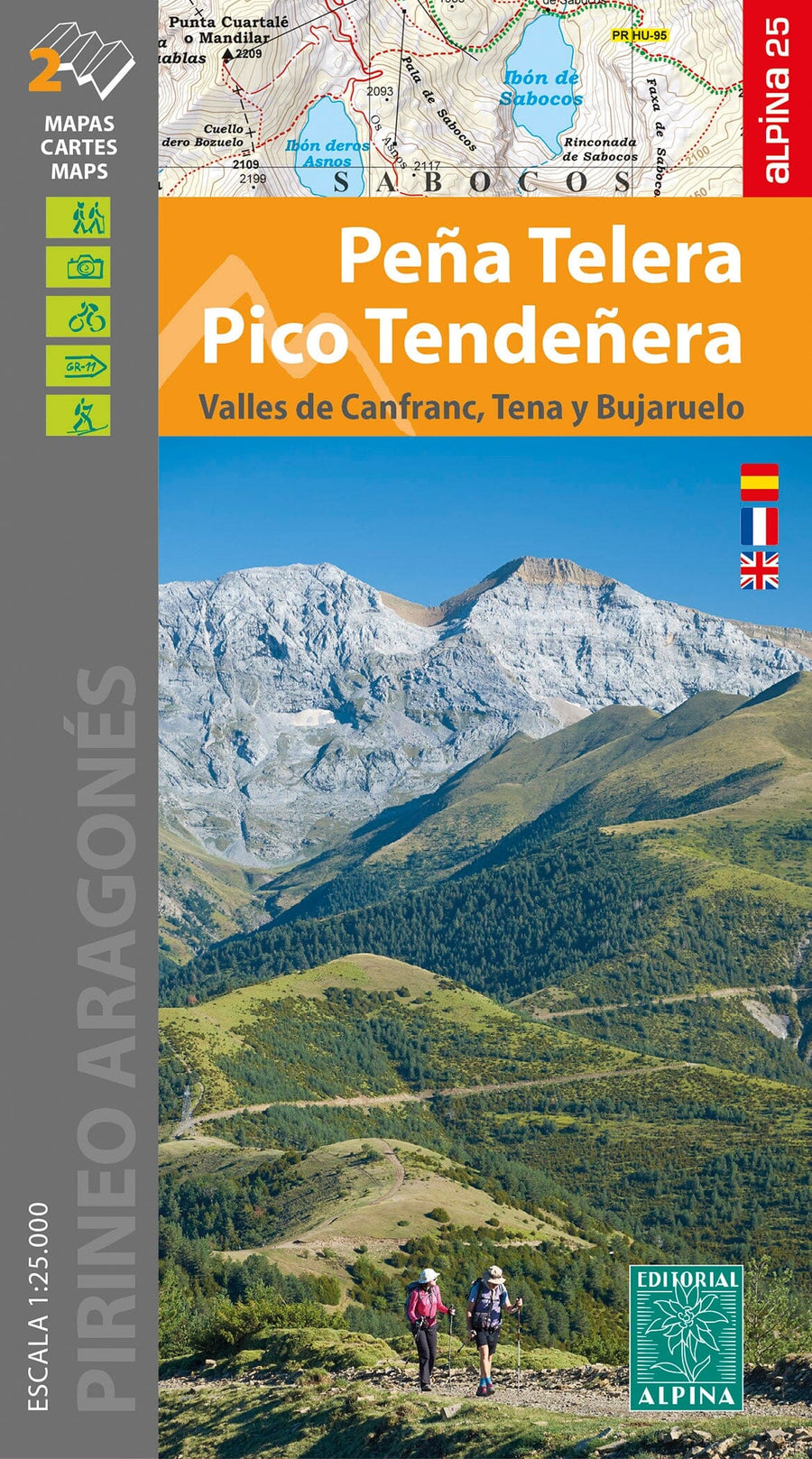
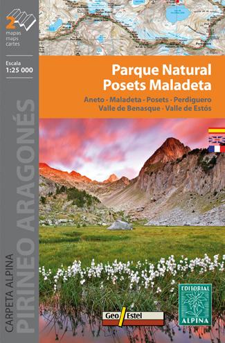
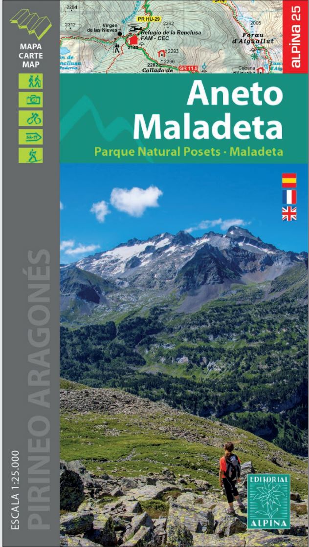
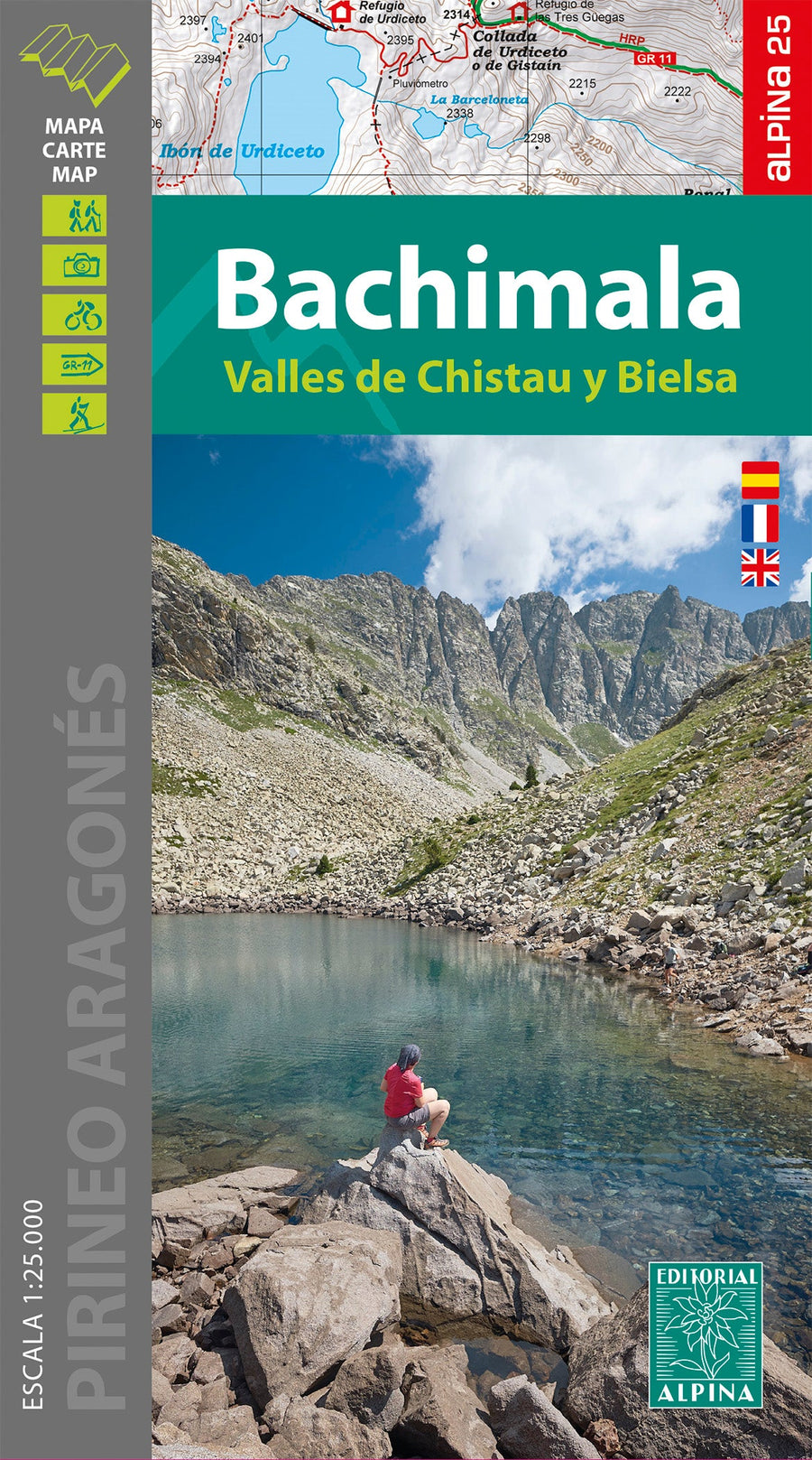
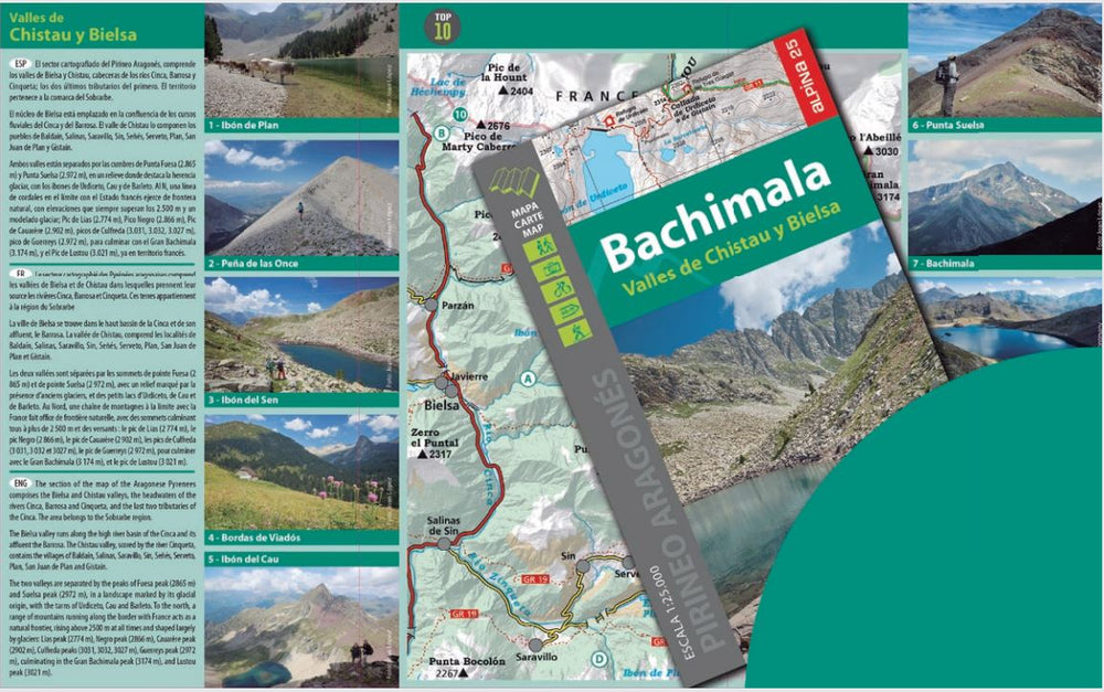
Hiking map - Peña Telera, Pico Tendeñera (Aragonese Pyrenees) | Alpina
Regular price
$22.00
Regular price
Sale price
$22.00
Save $-22
/
- Shipping within 24 working hours from our warehouse in France
- Delivery costs calculated instantly in the basket
- Free returns (*)
- Real-time inventory
- In stock, ready to ship
Related geographic locations and collections: Aragonese Pyrenees, Central Pyrenees, Editorial Alpina, Spanish Pyrenees, Spanish Pyrenees - Assembly Table - Editorial Alpina