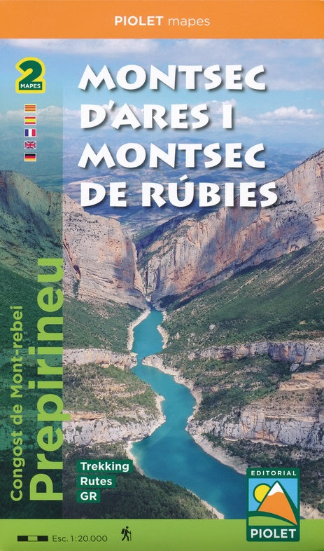
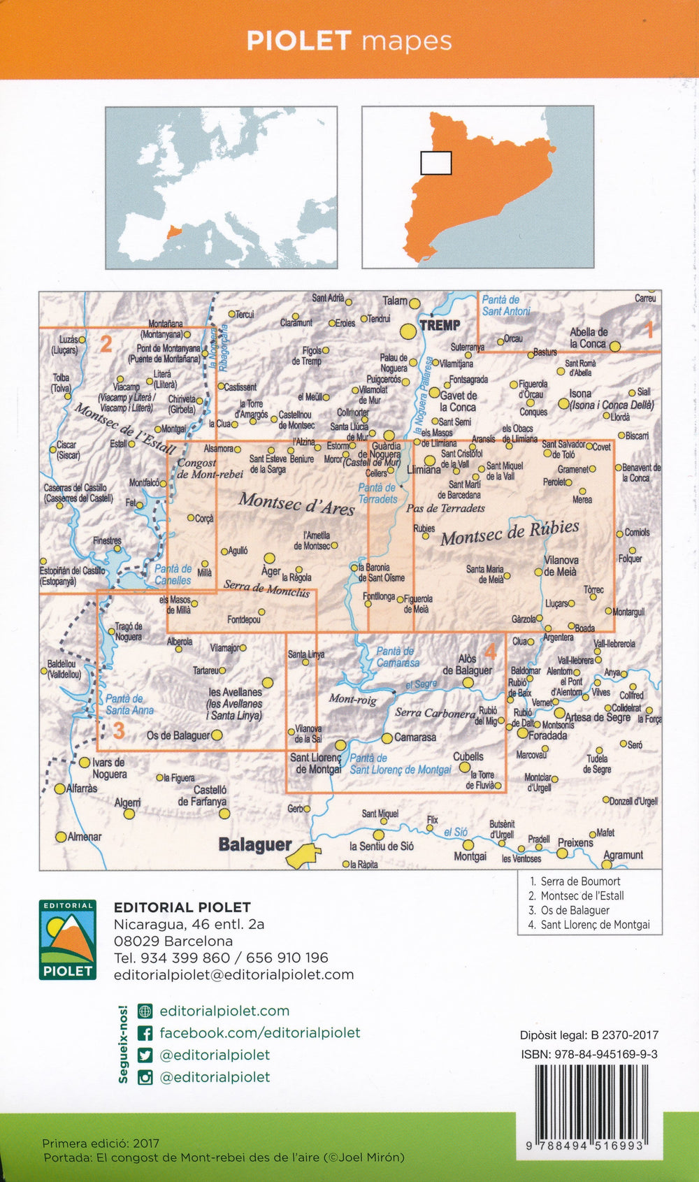
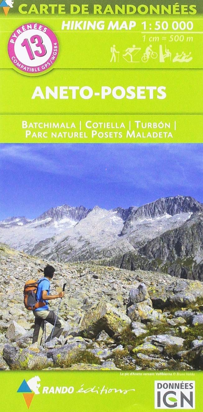
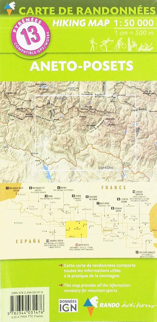
Hiking maps (Set of 2) - Montsec d'Ares i Montsec de Rúbies (pre-Pyrenees) | Ice ax

Price
Regular price $22.00
Regular price Sale price $22.00
Save $-22
/
  • Shipping within 24 working hours from our warehouse in France
  • Delivery costs calculated instantly in the basket
  • Free returns (*)
  • Real-time inventory
  • In stock, ready to ship
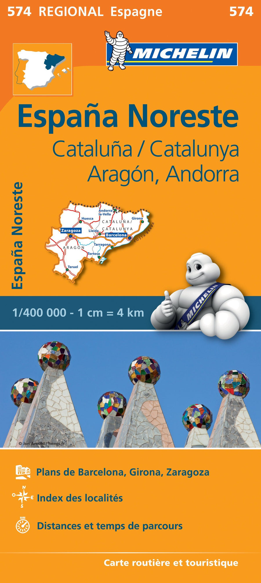
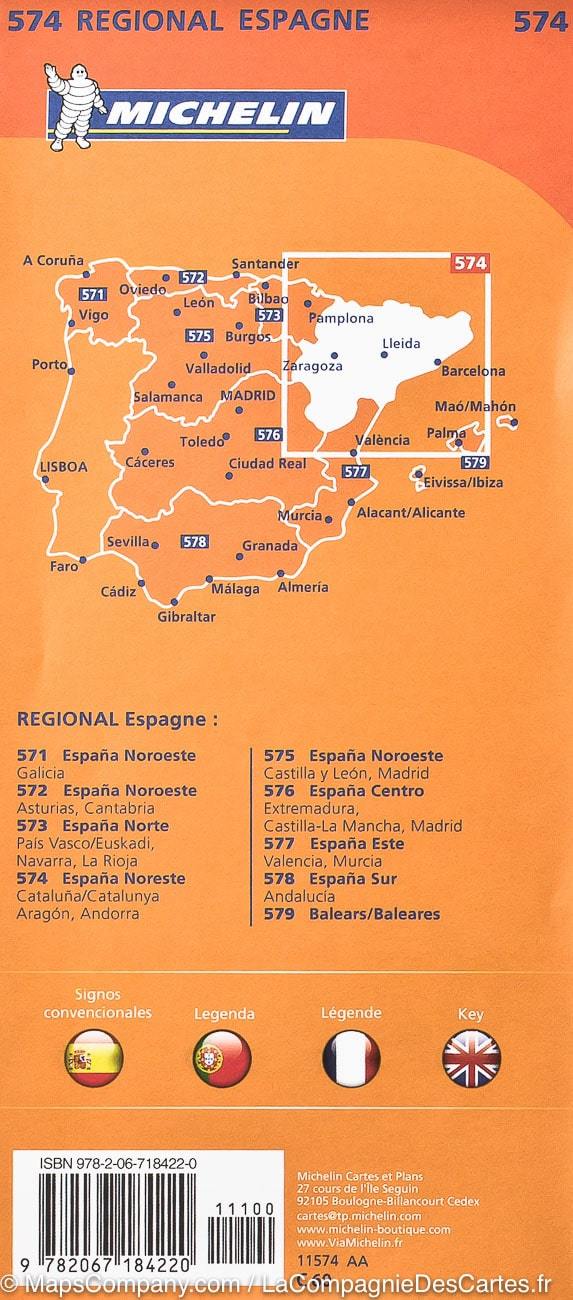
  • Backordered, shipping soon
Tax included.

Often purchased together:

Folder which includes two maps: Montsec d'Ares and Montsec de Rúbies or Meià. These two maps are a continuation of those already published in the region: Montsec d'Estall, Sant Llorenç de Montgai and Les Avellanes. The entire collection is published at a scale of 1:20,000.

The Montsecs are a reference area for hikers, via ferrata enthusiasts, climbers, and cyclists. With this publication, they can plan a wide range of excursions and mountain activities throughout this territory, which stretches from the border with Aragon (Congost de Mont- rebei) to the foothills of Santa María de Meià.

The Spanish publisher Editorial Piolet produces highly detailed maps of Spain's subregions, suitable for hikers and mountain bikers. Traditionally, they began in the Barcelona region, but they are increasingly expanding to other parts of Spain.

The maps have a topographical background with contour lines, peaks, shadows on mountain ridges, roads and villages, hamlets, and even farms. In addition, they have marked some hiking trails, including GR trails and PR trails, the regional long-distance hiking trails. Other hiking trails are marked, but with the normal black lines instead of a striking color. Mountain bike routes are also shown on some maps, but this is the exception rather than the rule. The symbols indicate other useful things such as campsites, attractions, caves, etc.


ISBN/EAN : 9788494516993
Publication date: 2017
Scale: 1/20,000 (1cm=200m)
Folded dimensions: 12x21cm
Language(s): French, Castilian, Catalan, English
Weight: 150 g

Customer Reviews

Based on 2 reviews
50%
(1)
0%
(0)
50%
(1)
0%
(0)
0%
(0)
G
Georges L. (Pau, FR)
Satisfaction totale

Ce produit répopnd à notre demande et les délais d'expédition ont été respectés. on sait donc ou s'adresser

P
Pascal G. (Tournefeuille, FR)
Expédition trop longue

Bonjour
L'expédition des cartes à durée trop longtemps et du coups elles sont arrivées après ma randonnée.
J'ai du acheté d'autres carte sur place.
En ce qui concerne les cartes elles sont un peut simpliste elles manquent de détails.
J'avais déjà commandé sur ce site et j'en étais ravi , un peut de loupé cette fois ci , mais je recommande quand même, car il y a quand même un grand choix de cartes