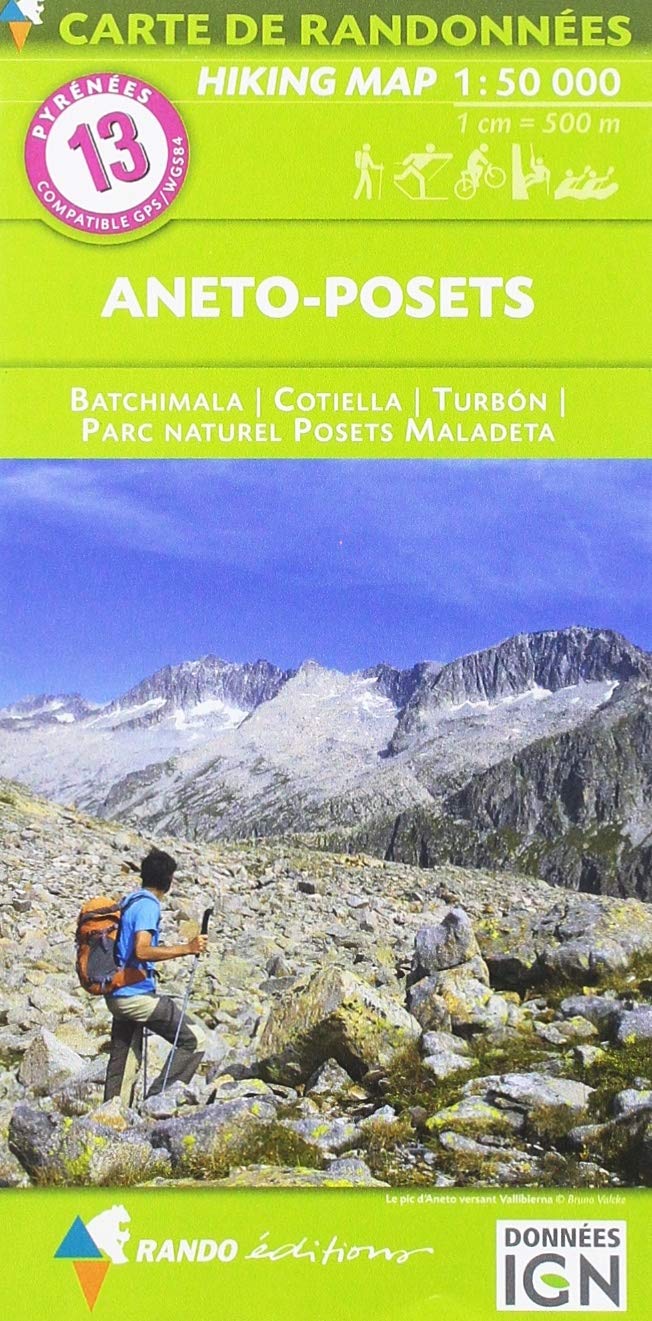
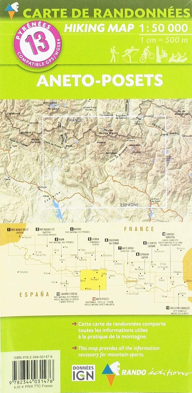
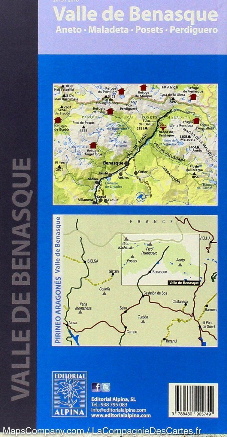
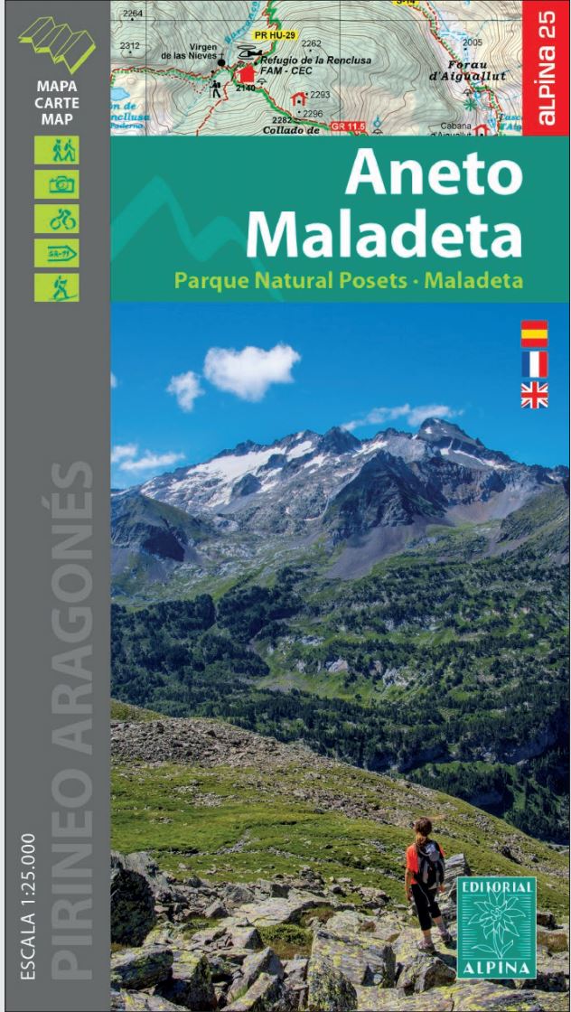
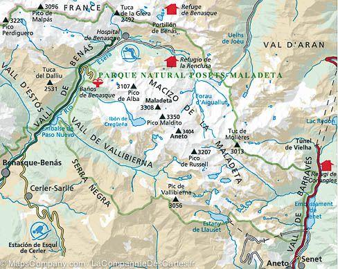
Detailed topographic map of aneto peak and posets. Pyrénées Hiking map No. 13, published by Rando Editions, which covers the area of Pic Aneto, posets and National Poles Poles - Sickta. Hiking map with level curves and information useful for mountain practice included.
Cover: Bachimala, Cotiella, Turbon, National Park Posets - Sickta
ISBN/EAN : 9782344031476
Publication date: 2019
Scale: 1/50,000 (1cm=500m)
Printed sides: front
Folded dimensions: 22.5 x 11 x 0.5cm
Unfolded dimensions: 142 x 90cm
Language(s): French English
Weight:
90 g


