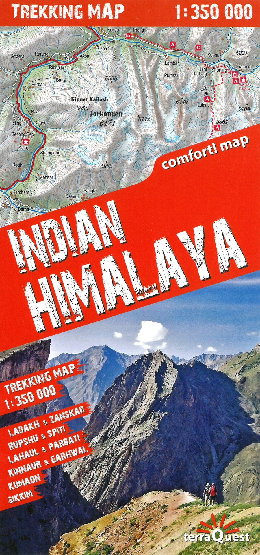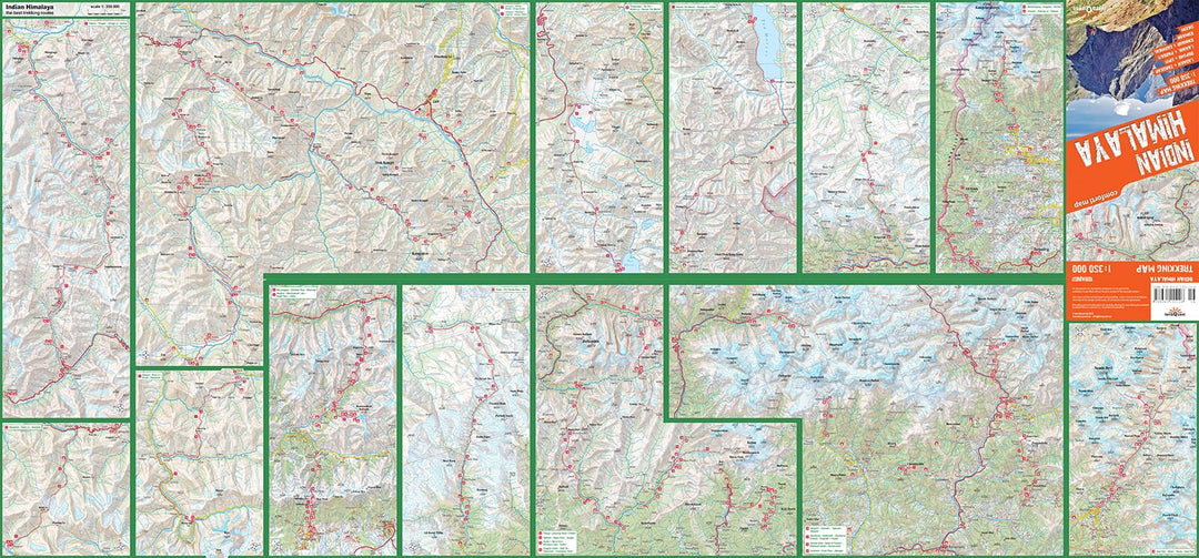
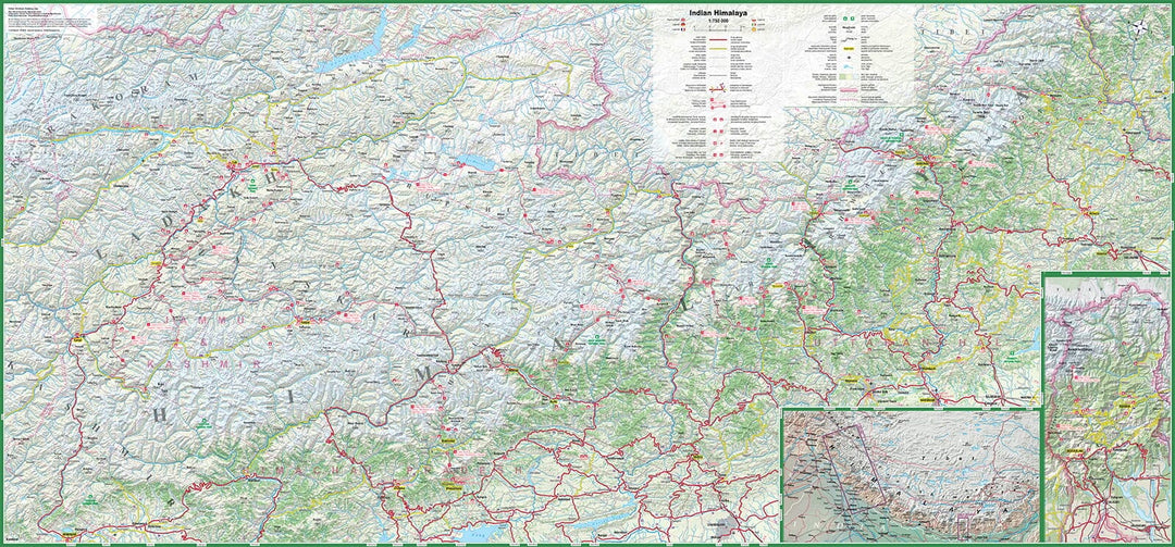
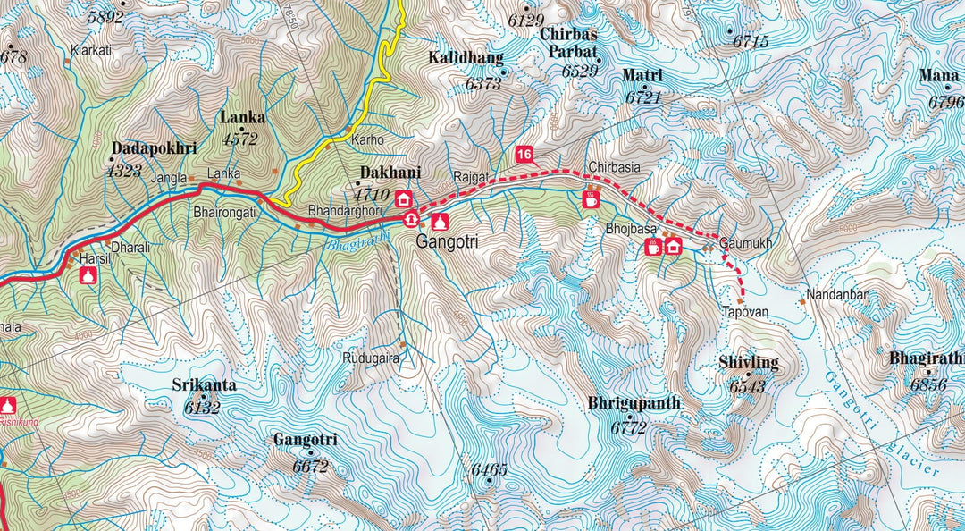
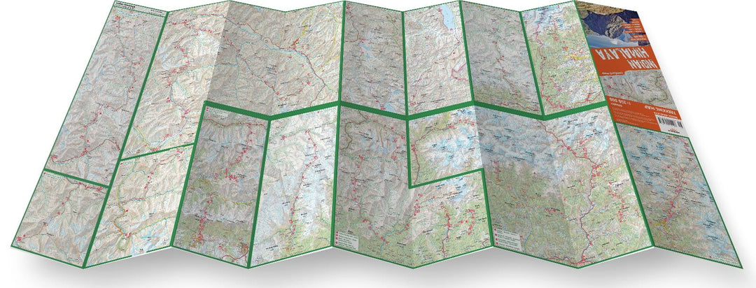
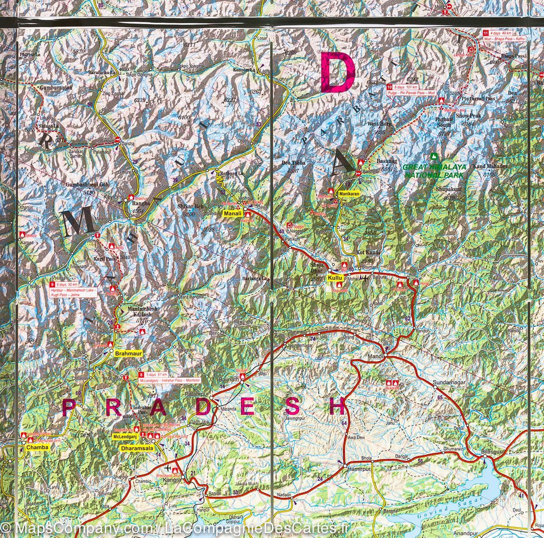


Laminated hiking map - Indian Himalaya | Terraquest
Regular price
$24.00
Regular price
Sale price
$24.00
Save $-24
/
- Shipping within 24 working hours from our warehouse in France
- Delivery costs calculated instantly in the basket
- Free returns (*)
- Real-time inventory
- In stock, ready to ship
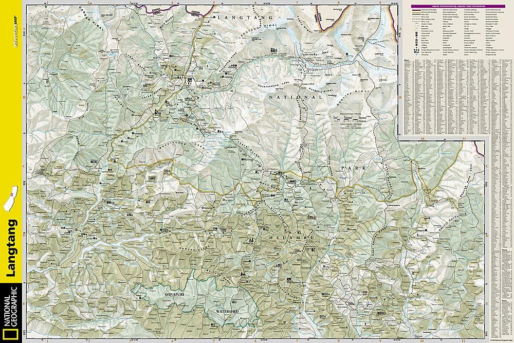
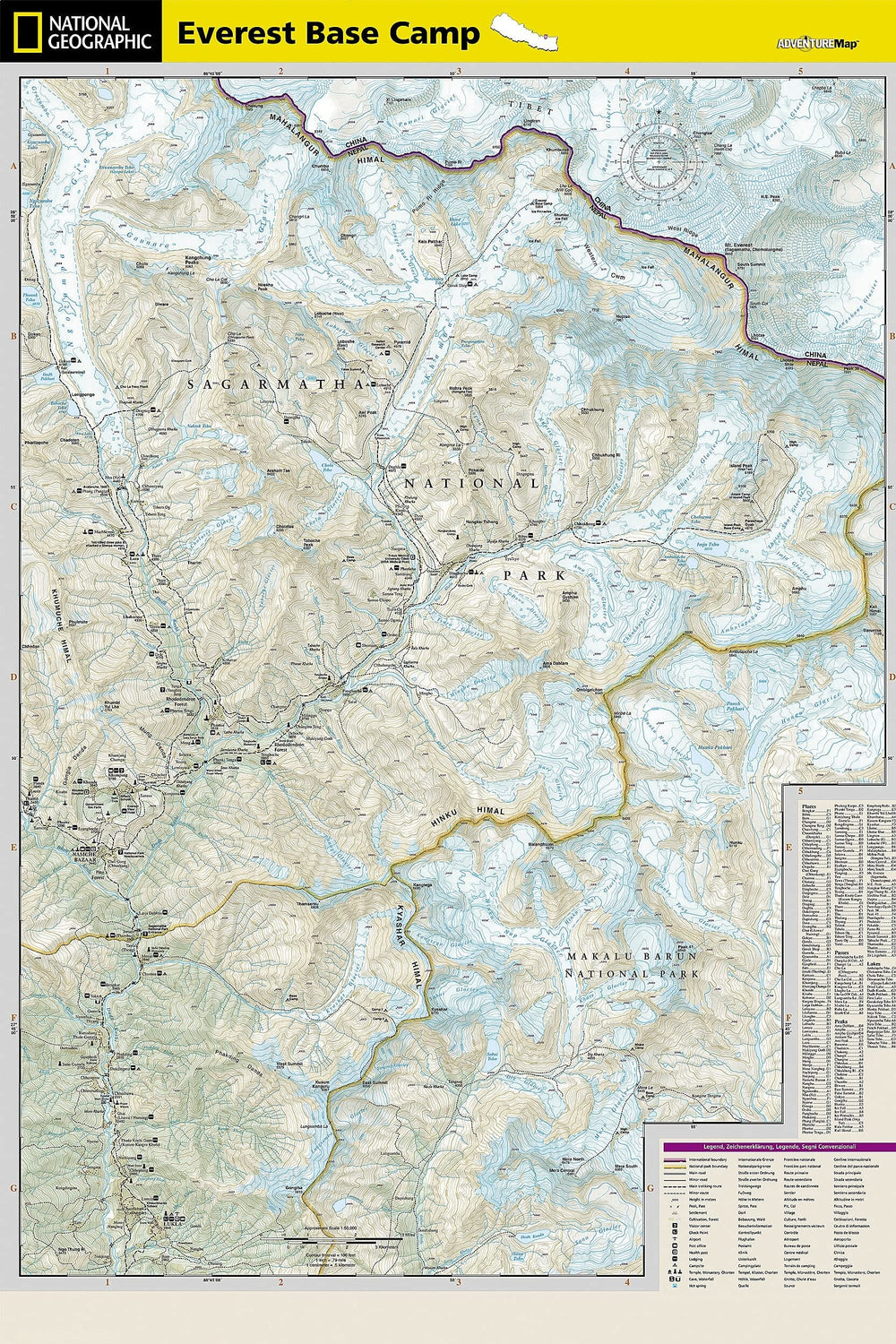
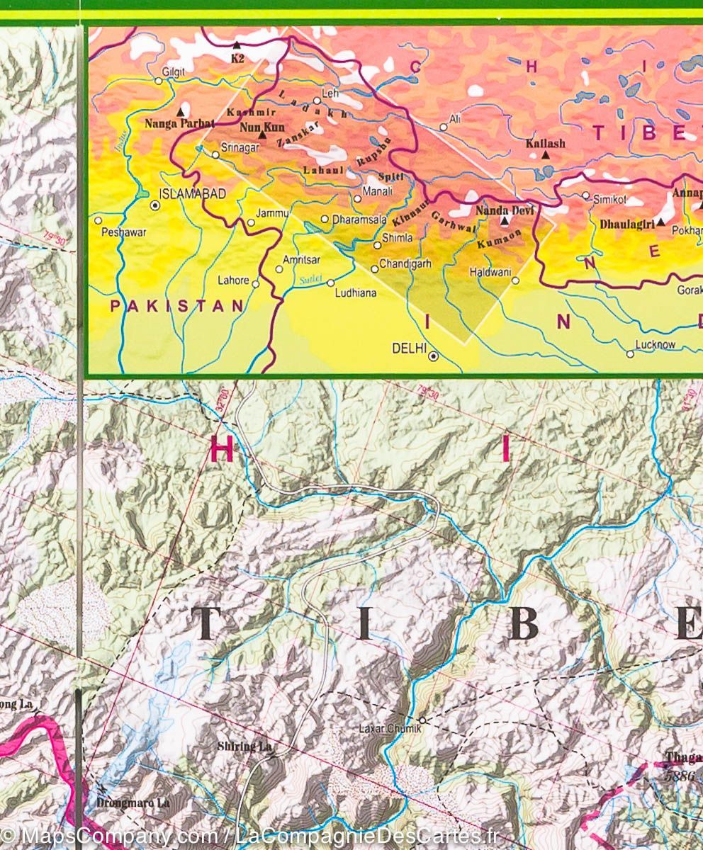
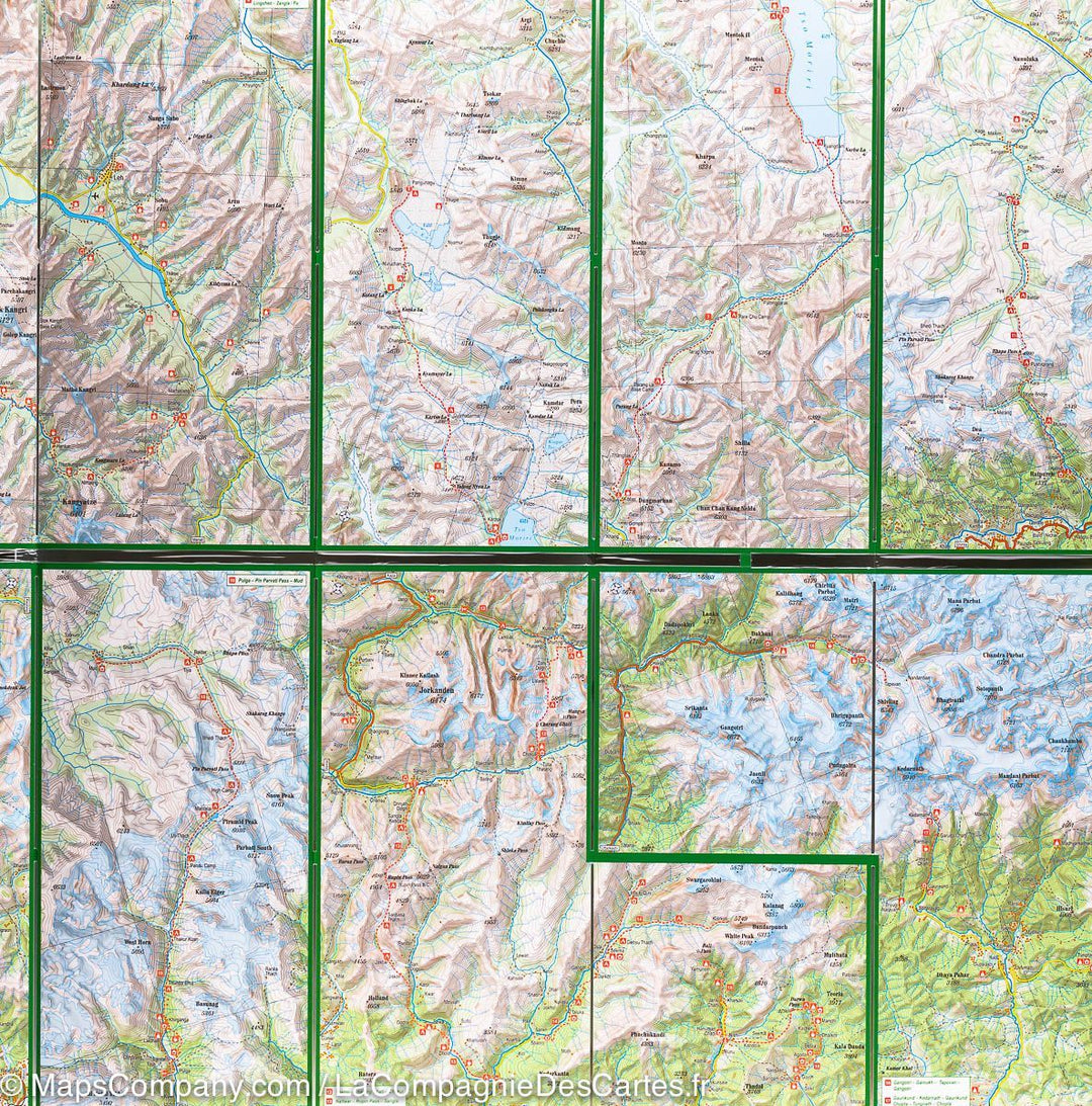
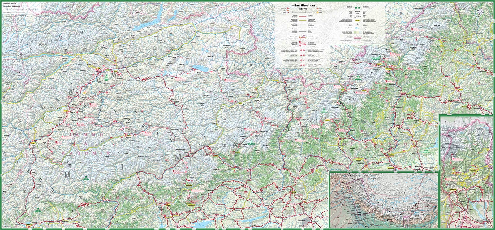
Related geographic locations and collections: Himalayas, Kashmir, Ladakh, Northern India, Sikkim, Zanskar