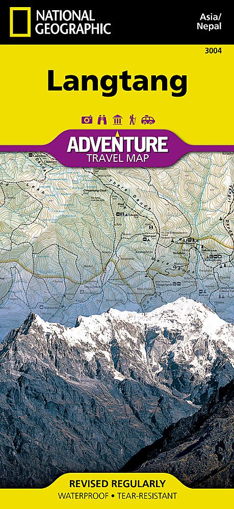
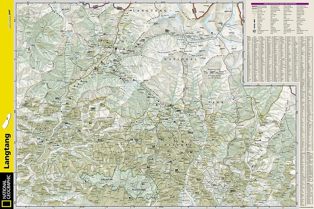
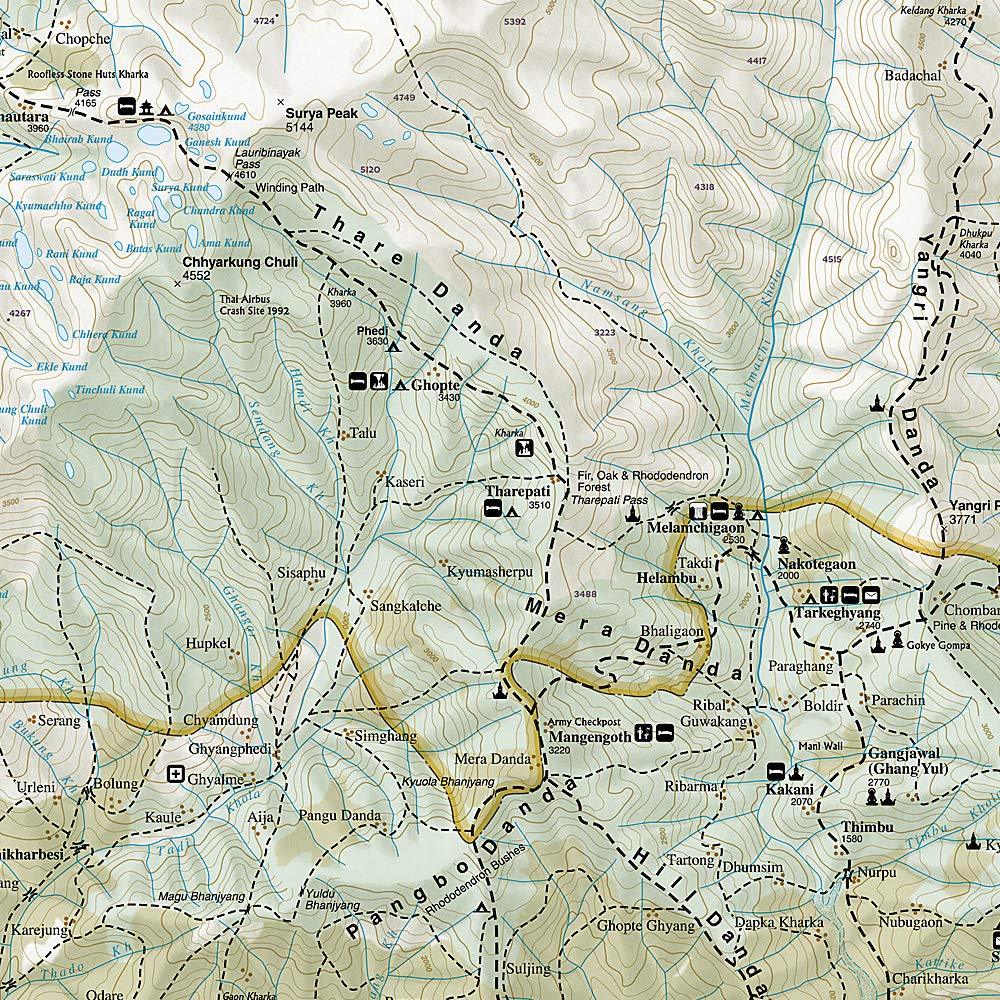
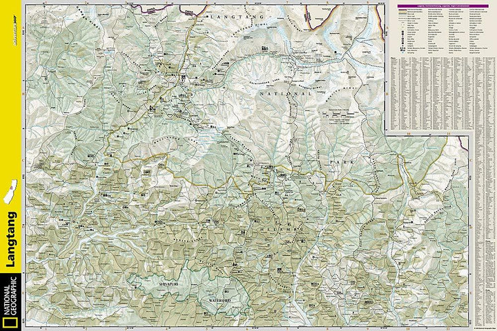
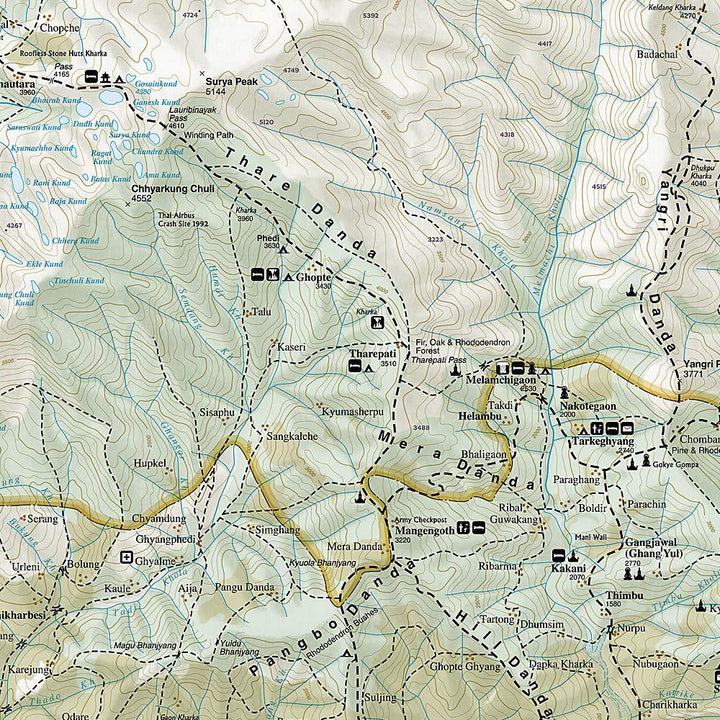
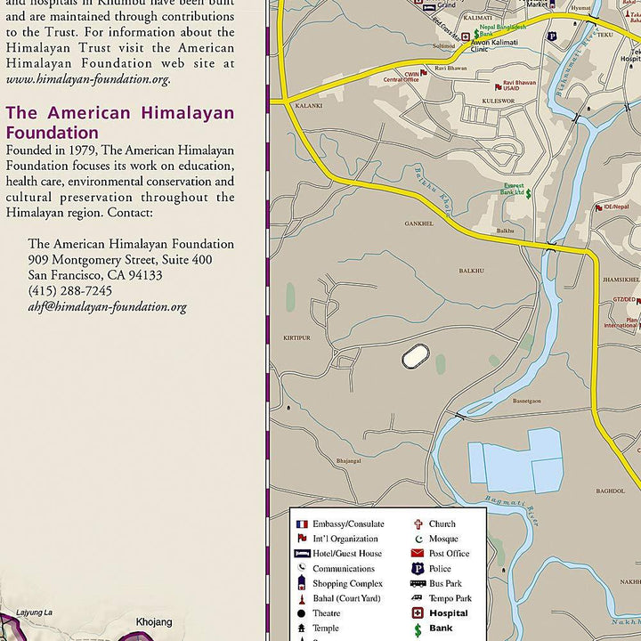
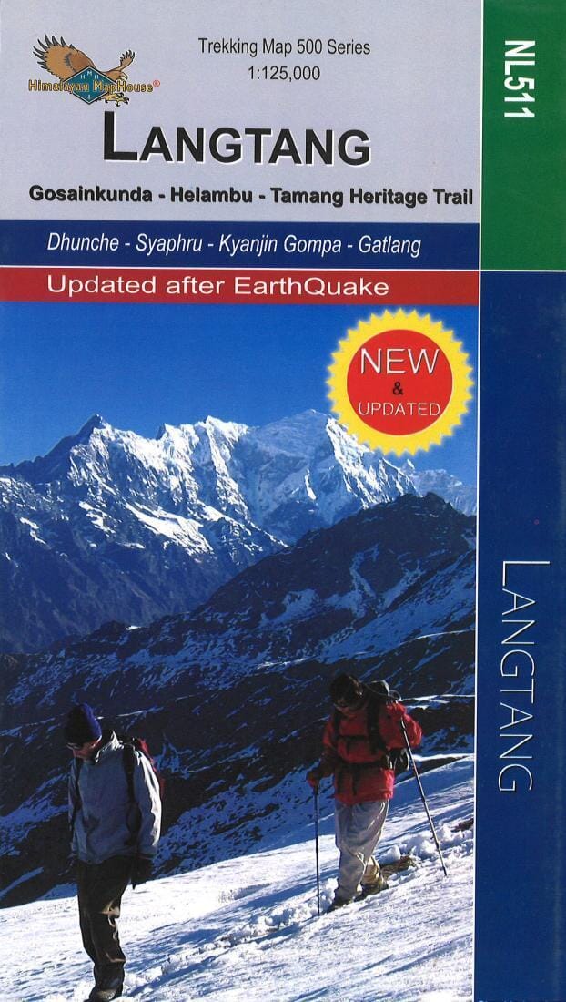
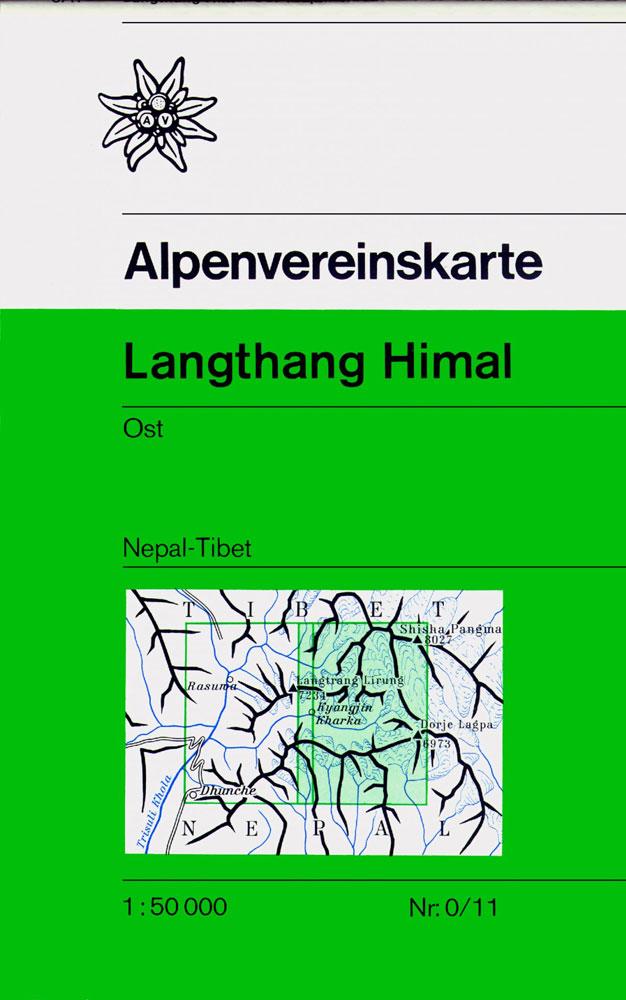
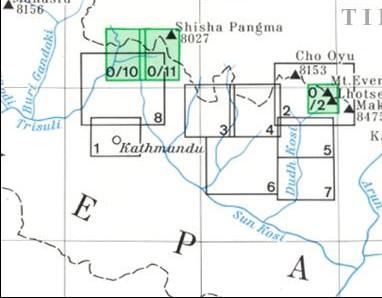
Topographic map of the Langtang region published by National Geographic. Level curves, Index of precise places and indications of trekking paths and accommodation locations.
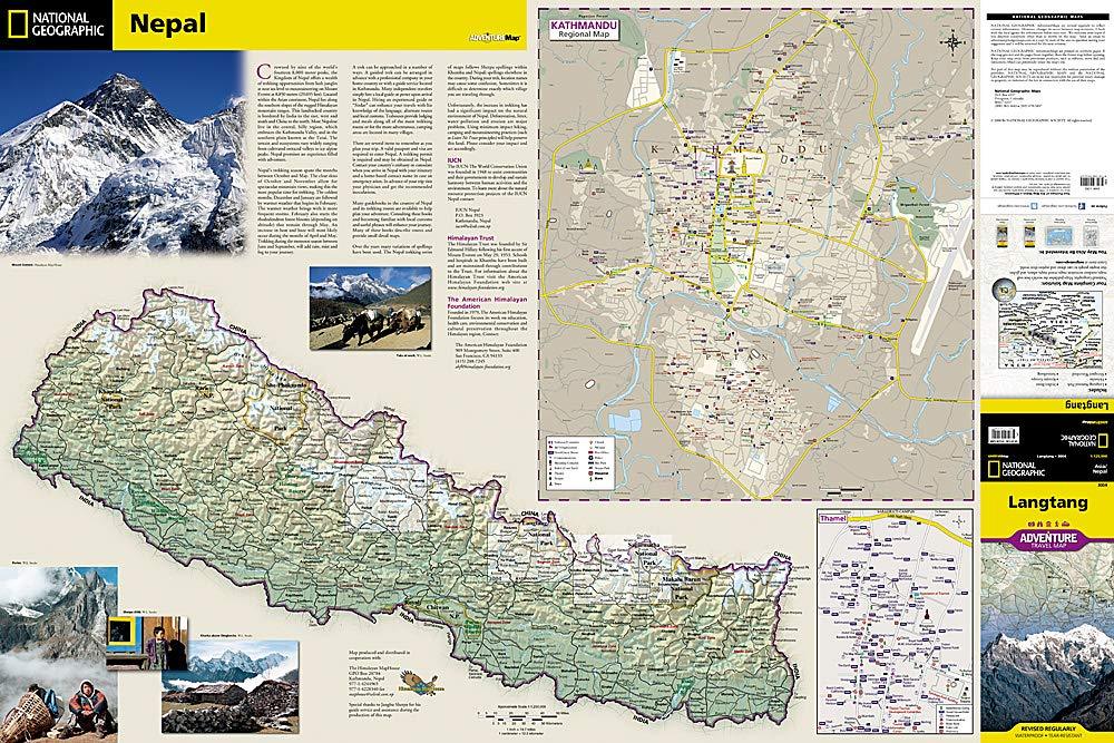
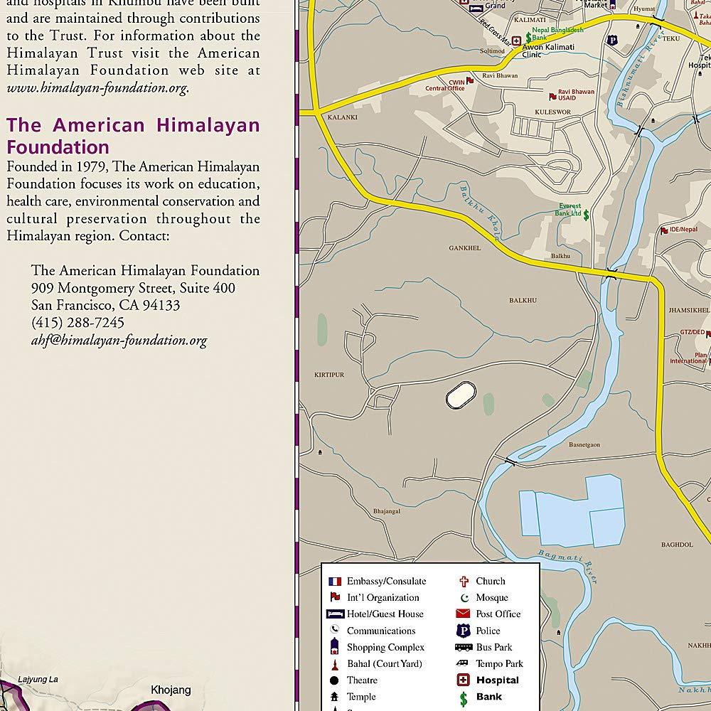
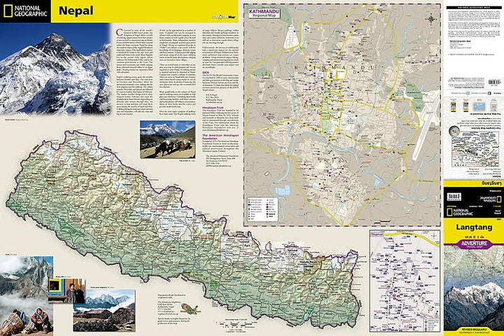
A detailed map of Nepal is displayed on the front of the map, as well as maps of Kathmandu and its commercial district of Thamel.
The back has a topographic map and hike from the Langtang region. Useful travel aids such as reception centers, checkpoints, health posts, accommodation, religious sites, settlements and post offices are clearly indicated. In addition to restaurants, accommodation and shopping areas, a variety of resources are shown on medallion maps, including embassies / consulates, international organizations, places of worship, banks, police stations, stops bus, etc.
This detailed map is indich and waterproof.
ISBN/EAN : 9781566955225
Publication date: 2020
Scale: 1/125,000 (1cm=1.25km)
Printed sides: both sides
Folded dimensions: 23.5 x 10.5 x 10.5cm
Unfolded dimensions: 91 x 61cm
Language(s): English
Weight:
84 g


