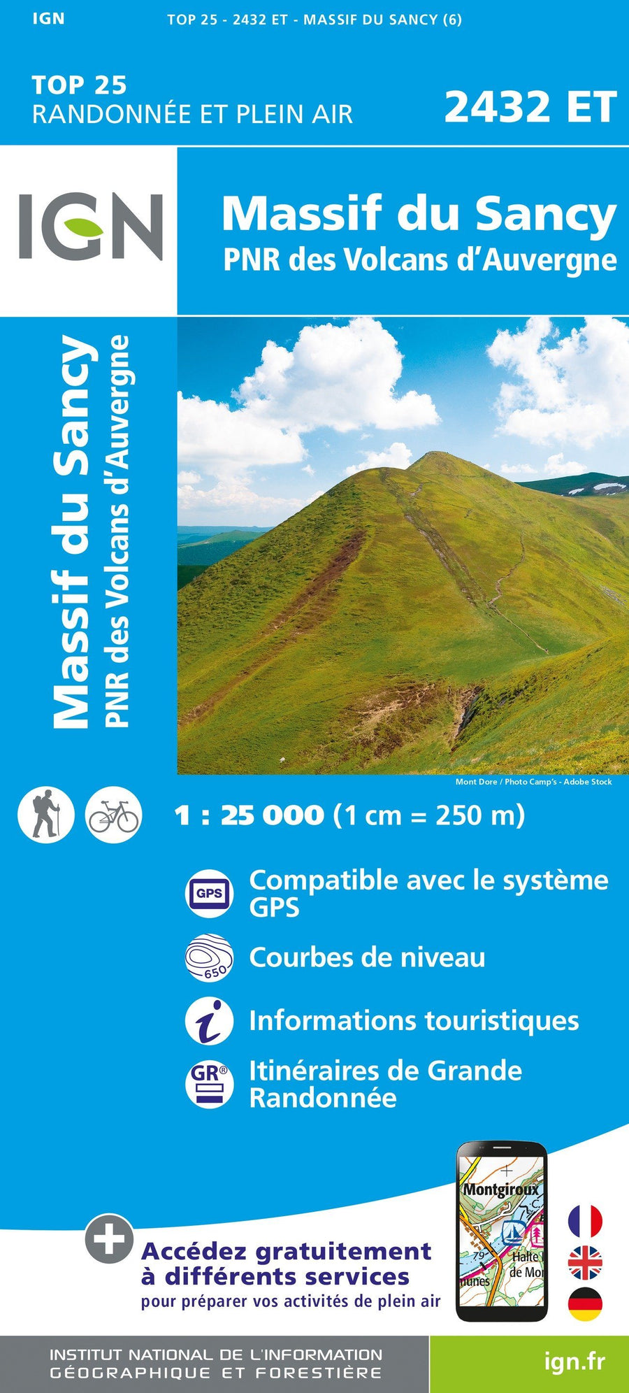
Hiking map - The great crossing of the Auvergne volcanoes | FFHiking

Price
Regular price $14.00
Regular price Sale price $14.00
Save $-14
/
  • Shipping within 24 working hours from our warehouse in France
  • Delivery costs calculated instantly in the basket
  • Free returns (*)
  • Real-time inventory
  • In stock, ready to ship
  • Backordered, shipping soon
Tax included.

Often purchased together:

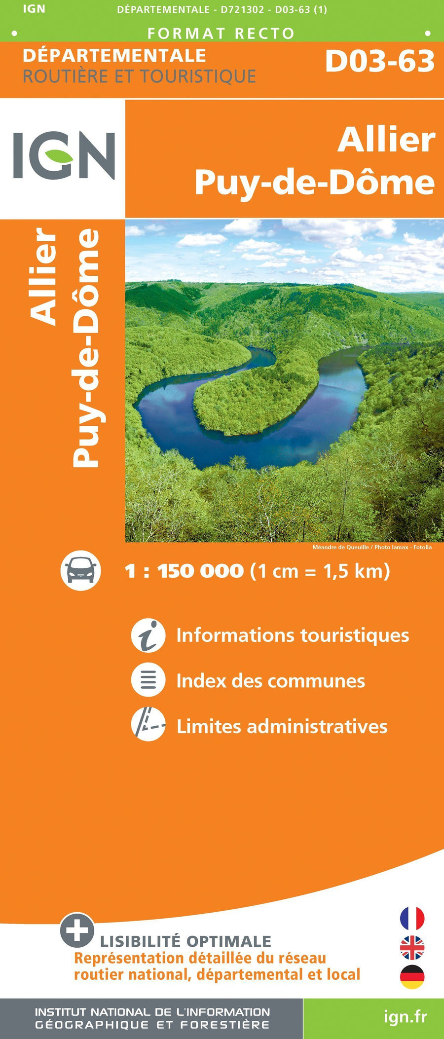
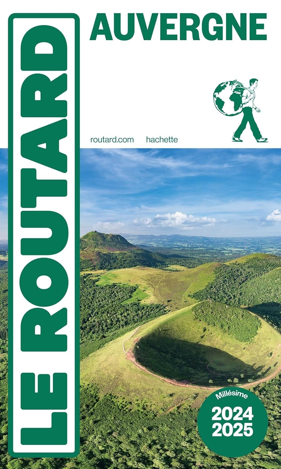
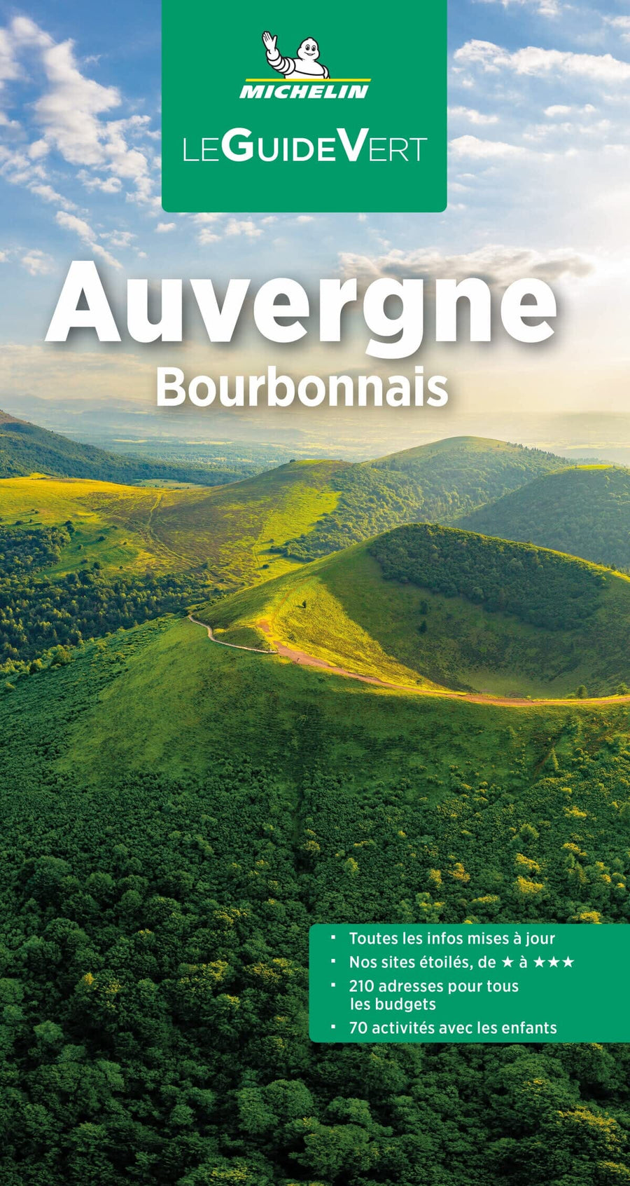
Cross the Auvergne volcanoes in 11 days, including the Sancy massif, Cézallier and Puy Mary.
From the panoramic alignment of the volcanoes of the Chaîne des Puys - Limagne fault, passing through the numerous lakes of volcanic origin, the rugged relief of the Sancy massif (1,886 m), the lawns and peat bogs of the granite plateau of the 'Artense, the Cézallier massif and its immense areas of green summer pastures, the Puy Mary (1783 m), vestige of the largest stratovolcano in Europe (70 km in diameter), to finish with the Plomb du Cantal (1,855 m ), come and travel this majestic route.

The +:
11 days of roaming on GR.
All-in-one map for easier roaming.
Double-sided paper resistant to rain, snags, strong and flexible.
Predefined and pre-cut steps.
Routes on IGN backgrounds and selections of accommodation and transport!
Access to the GPX track on MaRando.


ISBN/EAN : 9782751413131
Publication date: 2024
Scale: 1/60,000 (1cm=600m)
Printed sides: both sides
Folded dimensions: 25 x 10.7 x 0.3 cm
Language(s): French
Weight: 40 g

Customer Reviews

Be the first to write a review
0%
(0)
0%
(0)
0%
(0)
0%
(0)
0%
(0)